
Areas of rain and thunderstorms are forecast Monday across the central and eastern states. Some mixed rain and snow is possible in the high Sierra Mountains. Heavy to excessive rain may bring flooding in the central Appalachians. Read More >
North Platte, NE
Weather Forecast Office
July 29, 2023 Callaway Straight-line Wind Damage Survey
Overview
A line of severe storms crossed the central Sandhills and Custer County during the pre-dawn hours on July 29th, 2023 and caused
considerable damage across portions of south central Custer County. The strongest winds and greatest concentration of
damage occurred over the community of Callaway, Nebraska and southeast to near Oconto, Nebraska. A storm damage survey was
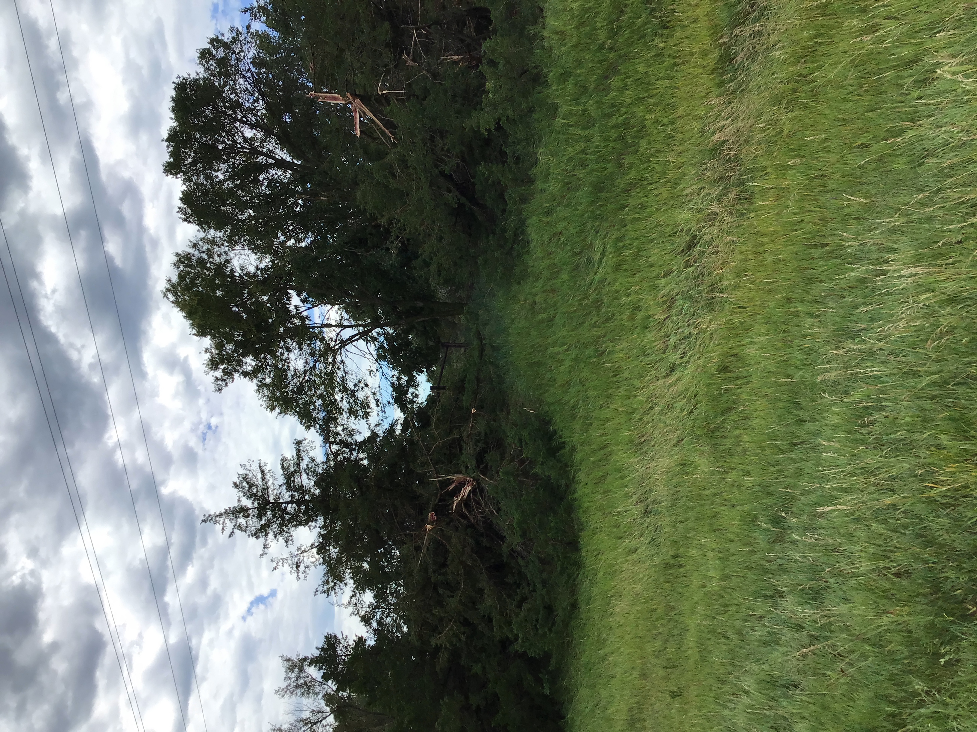
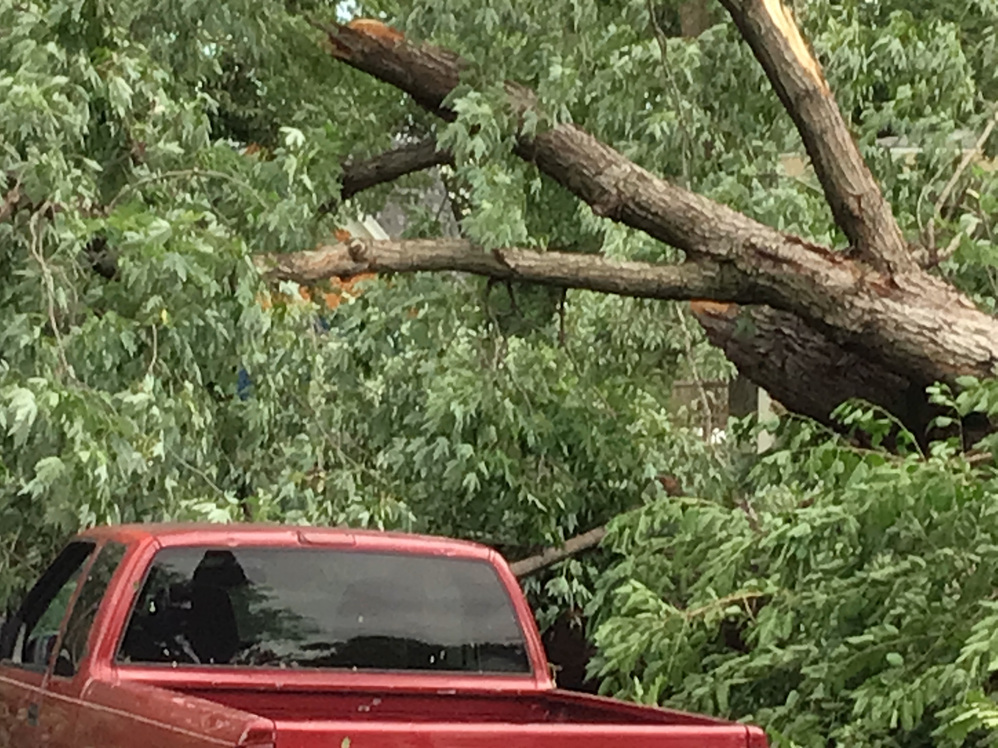
conducted in conjunction with Custer County Emergency Management. Widespread tree damage was observed in and near Callaway
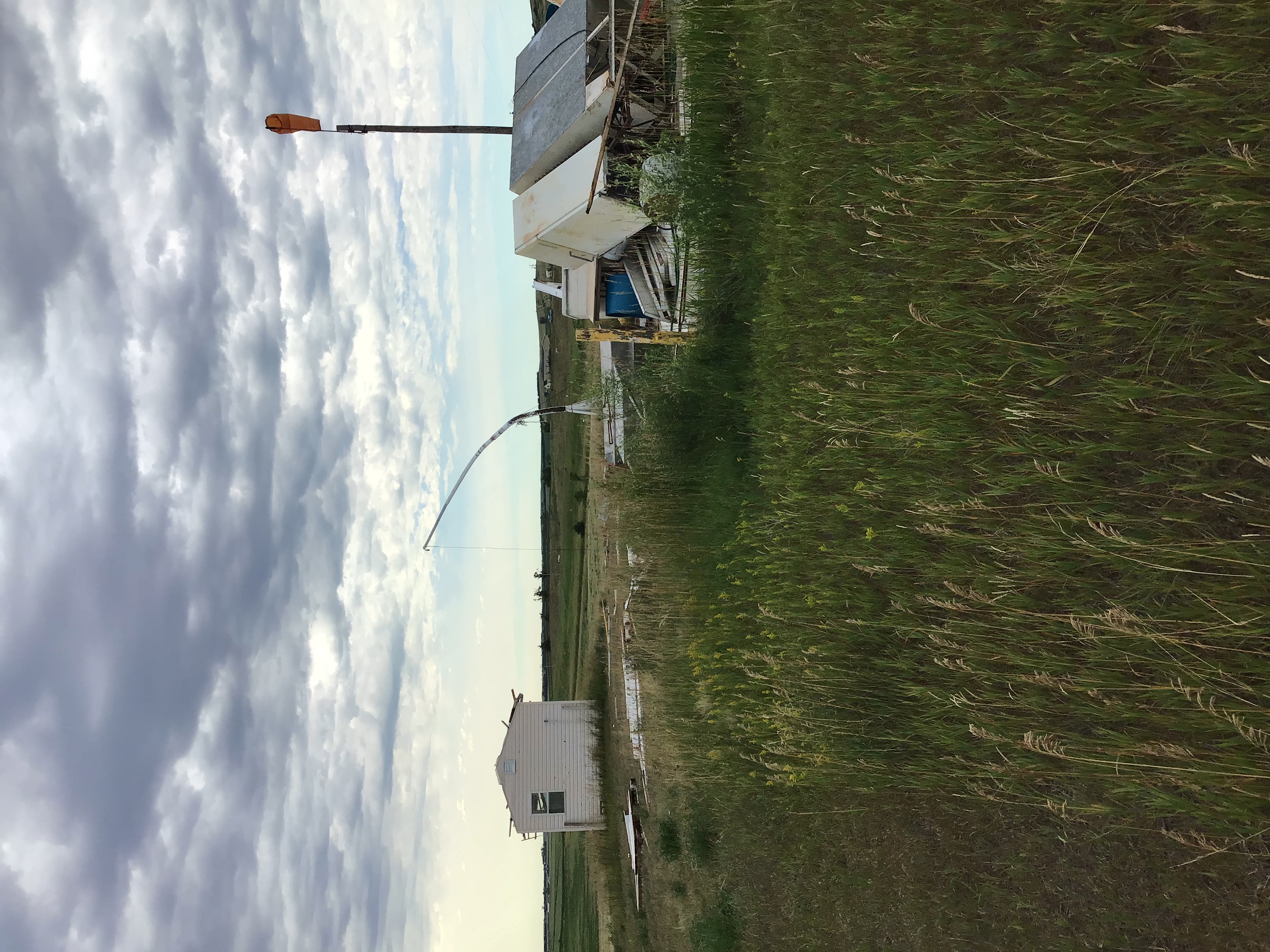
with an estimated 100 trees uprooted or snapped in half just in Callaway alone.  Damage was observed to buildings, both residential
and commercial as well. The damage from this event was a result of straight line winds from thunderstorm outflow.

The results of the damage survey are preliminary as the National Weather Service continues to investigate further reports. If you
have storm footage or significant damage reports from this event, please relay your report to the National Weather Service in North
Platte, Nebraska.
Wind:
Peak wind from the survey: 100-110 mph
Path length of considerable damage: Approximately 10 miles (from Callaway to  2 miles northwest of Oconto)
Path Width: Approximately 3 miles at it`s widest

Start date:             07/29/2023
Start time:             04:20 AM
Start location:         Callaway

End date:               07/29/2023
End time:               04:40 AM
End location:           2NW of Oconto


NOTE:
The information in this statement is PRELIMINARY and subject to
change pending final review of the event and publication in
NWS Storm Data.
 |
 |
 |
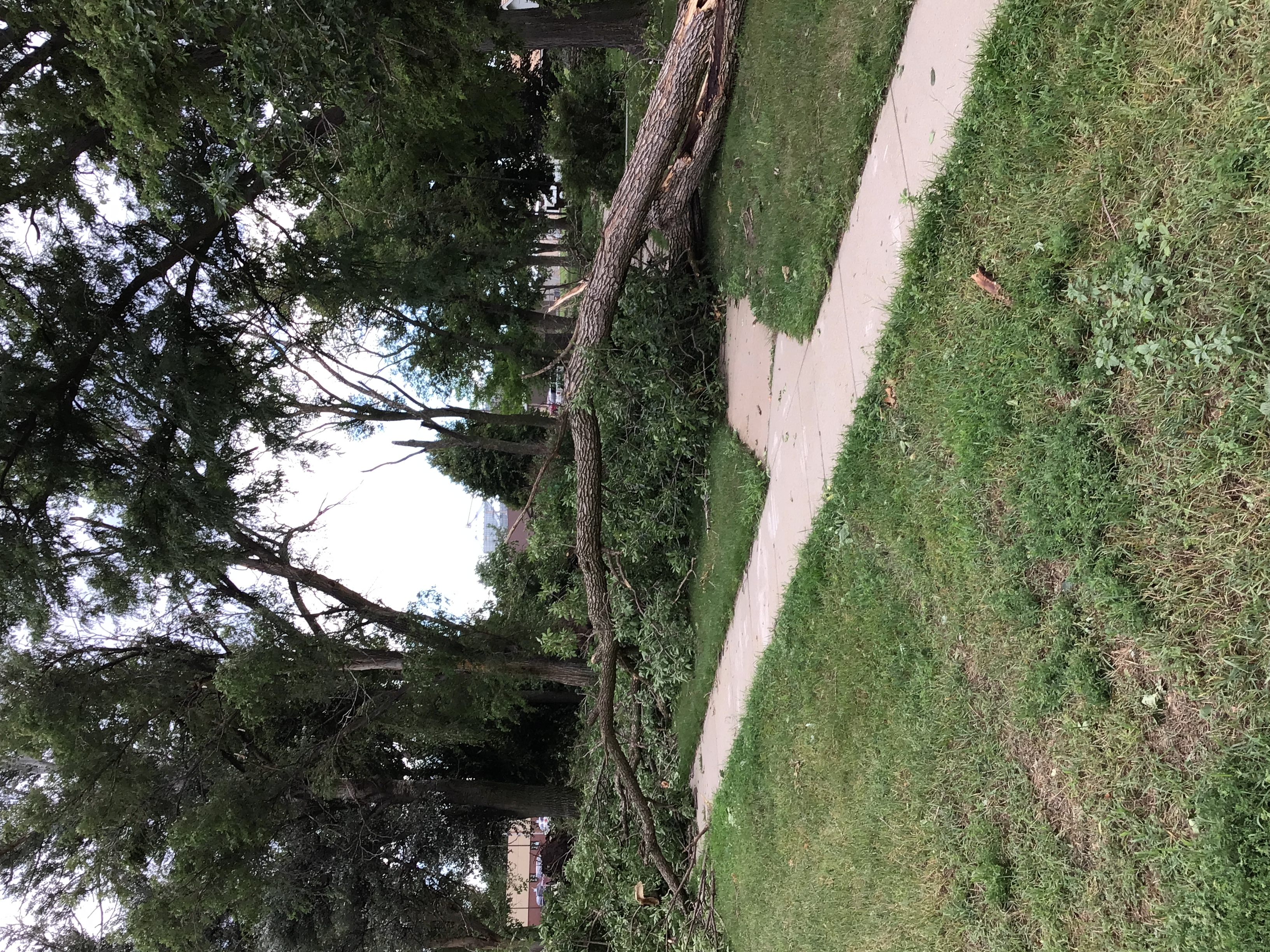 |
| Damaged to Shelter Belt | Damage to Buildings | Large Tree Across Road | Multiple Trees Down in City Park |
 |
Media use of NWS Web News Stories is encouraged! Please acknowledge the NWS as the source of any news information accessed from this site. |
|
HAZARDS
Active Alerts
National Radar
National Hurricane Center
Storm Prediction Center
Weather Prediction Center
River Flooding
Decision Support
Submit a Storm Report
Recent Storm Reports
CURRENT CONDITIONS
CoCoRaHS
Enhanced Data Display
Local Radar
National Radar Mosiac
Observations
National Snow Cover
Precipitation Mapped
Regional Links
Satellite
Snowfall Analysis
FORECASTS
Area Forecast Discussion
Aviation Weather Center
Local Aviation Weather
Fire Weather
Recreation Forecast
National Graphical Forecast
Local Graphical Forecast
CLIMATE
Local Climate
National Climate
North Platte - Daily
North Platte - Monthly
Valentine - Daily
Valentine - Monthly
Broken Bow - Daily
Broken Bow - Monthly
Imperial - Daily
Imperial - Monthly
NIDIS Drought
NOAA Climate Science
Local Storm Reports
Local Drought Statement

US Dept of Commerce
National Oceanic and Atmospheric Administration
National Weather Service
North Platte, NE
5250 E. Lee Bird Drive
North Platte, NE 69101-2473
308-532-4936
Comments? Questions? Please Contact Us.


 Follow us on X
 Follow us on Facebook
 Follow us on YouTube
 LBF RSS Feed