
Tropical moisture will fuel high chances for rain early this week along a stalling cold front. Several inches of rain are expected to fall through Tuesday that will increase the risk for localized flooding each day. A Moderately Strong Nor'easter will develop Tuesday and bring gusty winds, dangerous surf/rip currents, and potential for moderate tidal flooding. Read More >
|
Marine Page for Southeast Georgia and Northeast Florida |
 |
 |
|
 |
 |
 |
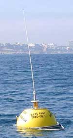
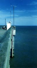
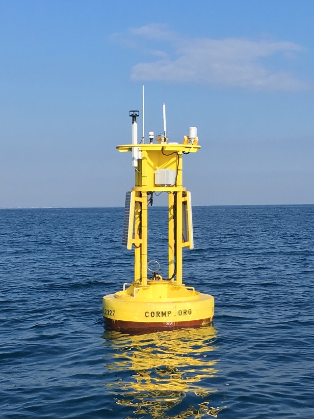
| To view marine data, click the link below to view a map of stations: | ||
|
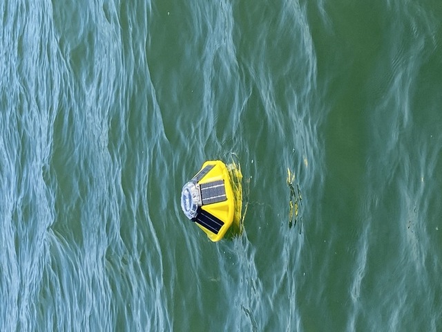
Image and Data provided by NOAA National Data Buoy Center |
||


 Follow us on X
 Follow us on Facebook
 Follow us on YouTube
 JAX RSS Feed