
A slow moving front will be the focus area for heavy to excessive rainfall and a threat for flash/urban flooding across parts of the Gulf Coast into central/northern Florida early this week. Abnormally hot, potentially record-breaking, temperatures will continue for southern California and stretch north toward the Bay Area and Central Valley this week. Read More >
Last Map Update: Wed, Oct 7, 2026 at 1:20:38 am MDT
|
Text Product Selector (Selected product opens in current window)
|
|


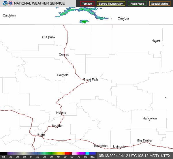 Great Falls Radar
 Satellite
 Current Observations
 Forecast Discussion
 Montana Weather
 Fire Weather
 Winter Weather Forecasts
 Transportation Forecasts
 Weather Prediction Center
 Storm Prediction Center
 Aviation Weather
 Weather Stats
 Follow us on X
 Follow us on Facebook
 Follow us on YouTube
 TFX RSS Feed