Indianapolis, IN
Weather Forecast Office
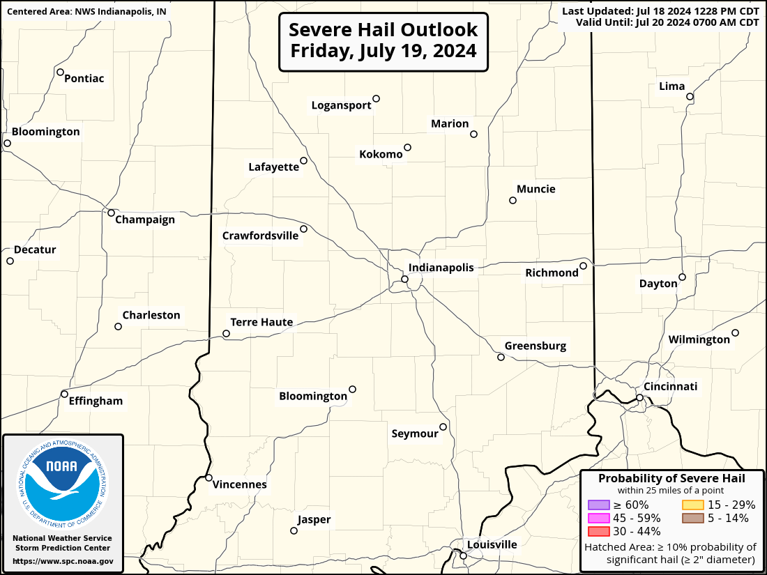
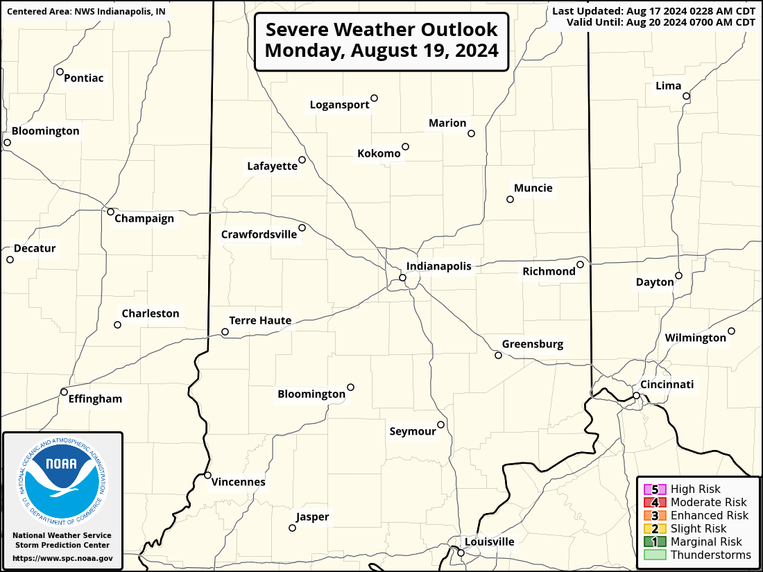
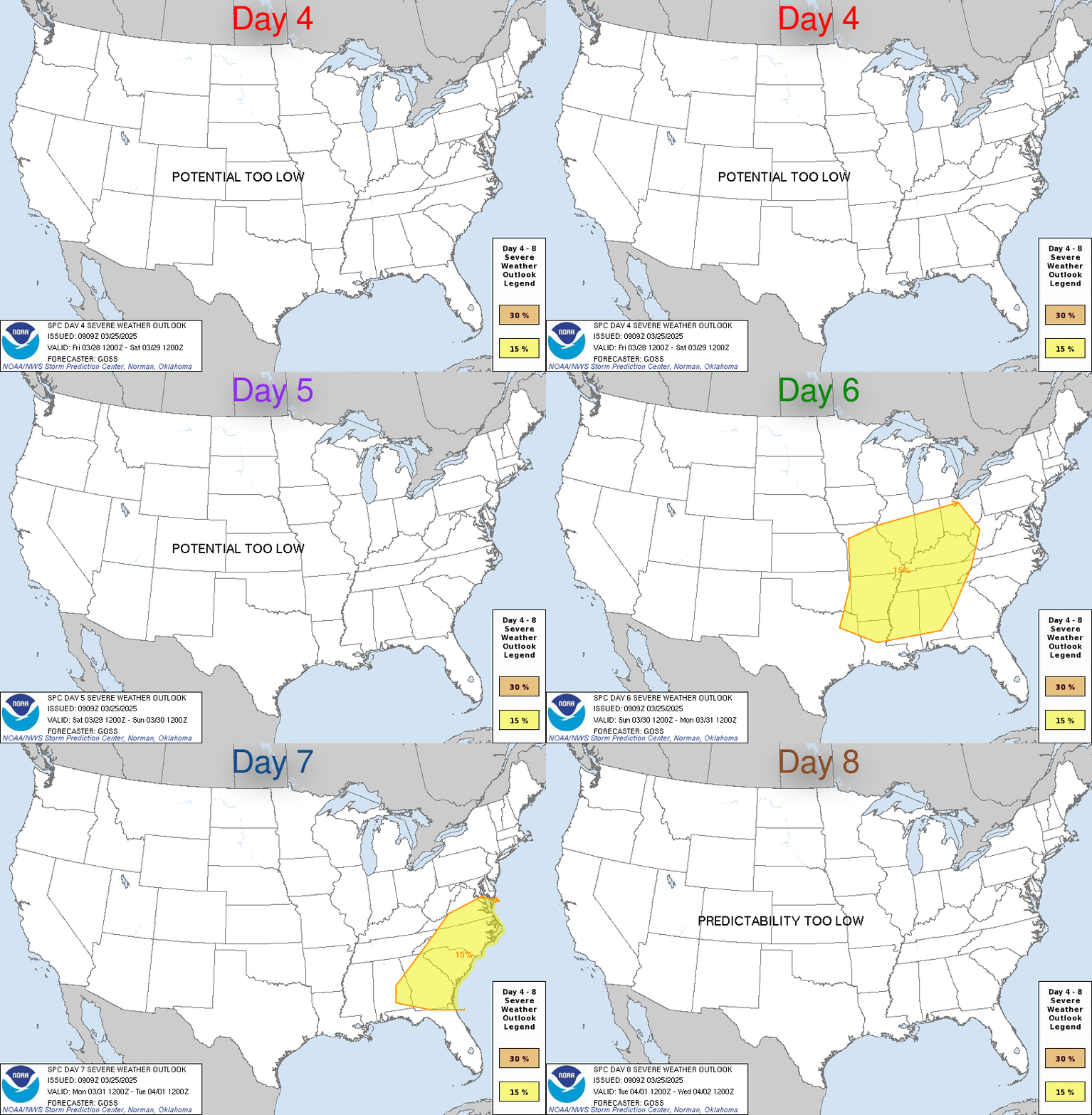
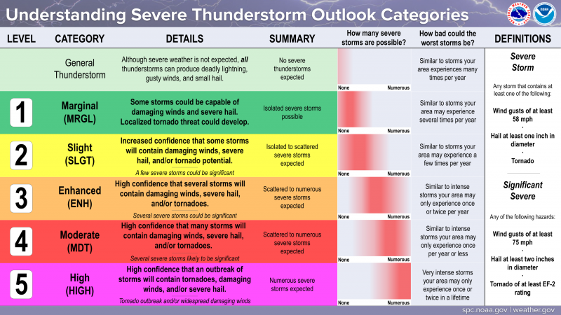
Severe Weather Outlooks/Watches/Meso Discussions
Heavy Rain/Flooding
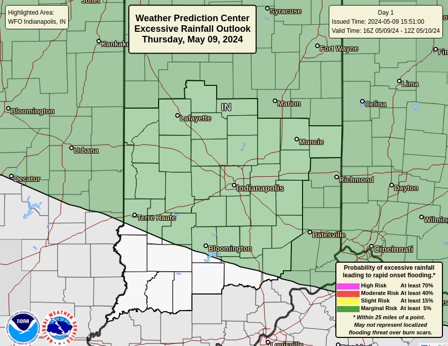
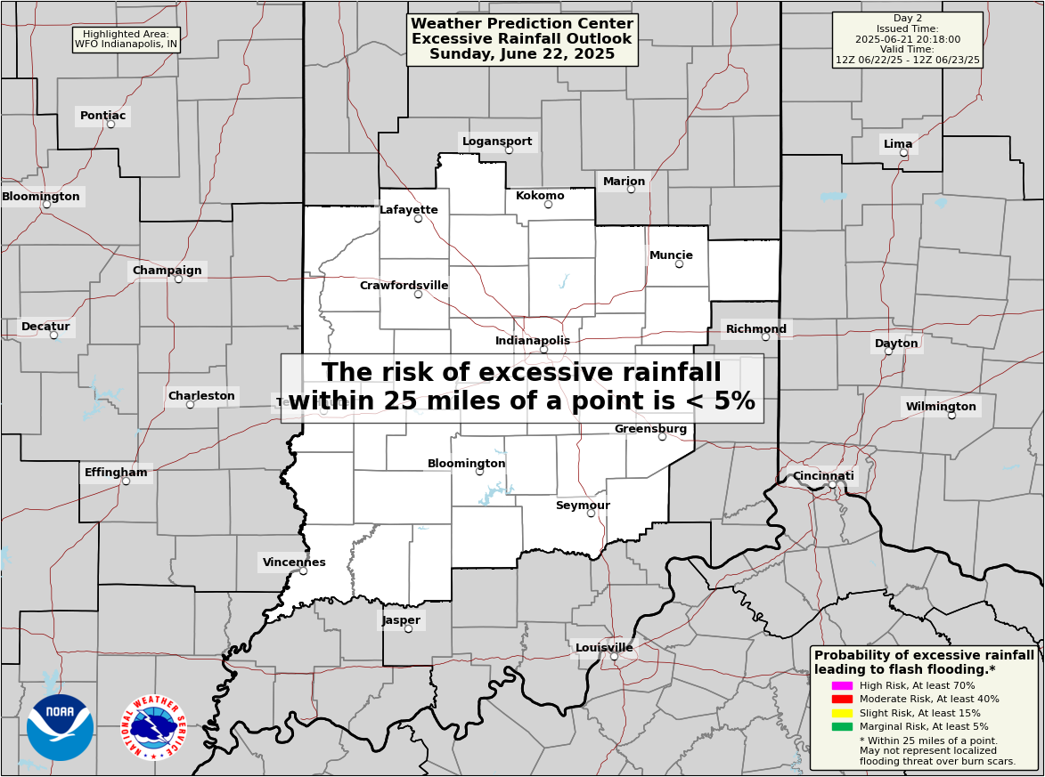
| Day 1 Rainfall | Day1 Excessive Rainfall | Day 2 Rainfall | Day 2 Excessive Rainfall |
 |
 |
 |
 |
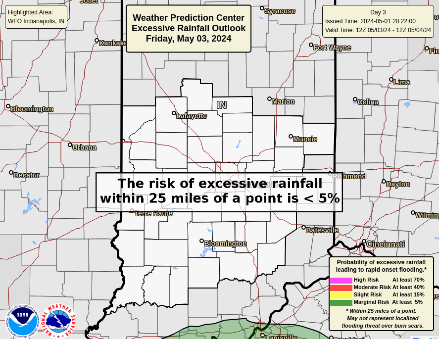
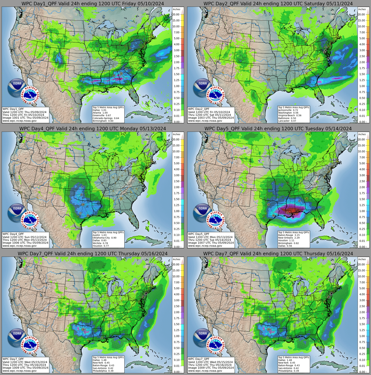
| Day 3 Rainfall | Day 3 Excessive Rainfall | Days 1-7 Rainfall Loop | Days 1-7 Rainfall Total |
 |
 |
 |
 |
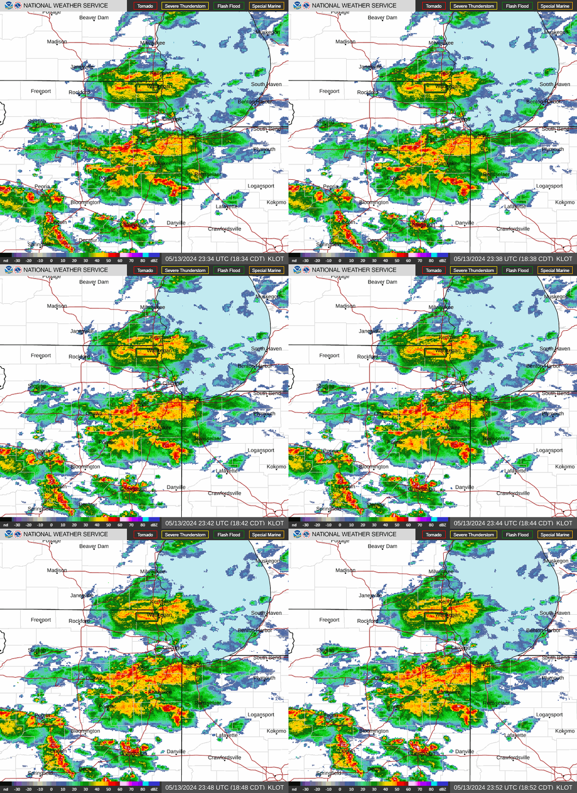
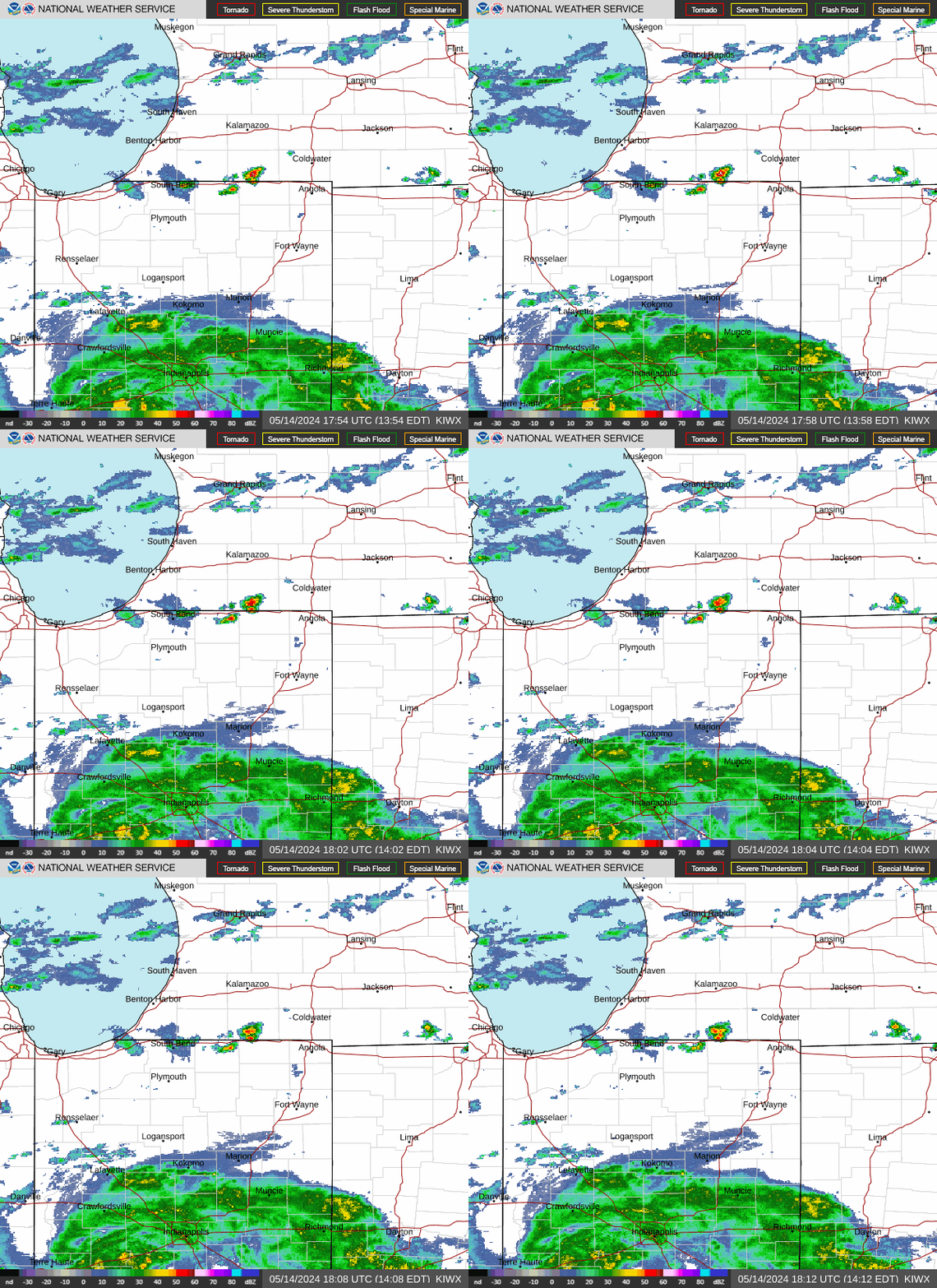
Current Radar/Satellite
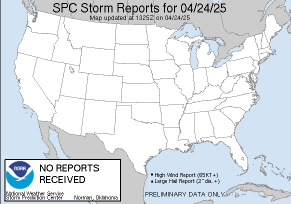
Selected Current Severe Weather Parameters from SPC
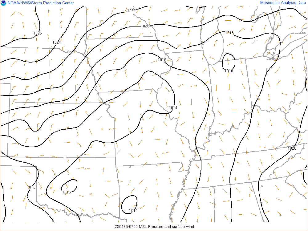
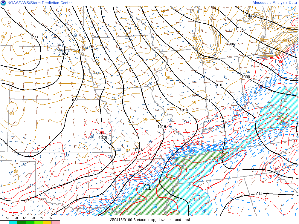
| Current MSLP | Current Temp/Dewpoint | Surface Based CAPE | 100MB ML CAPE |
 |
 |
 |
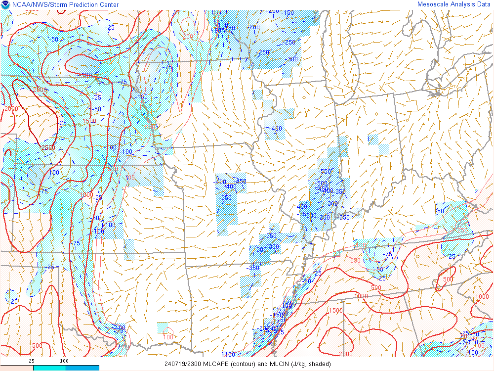 |
| MUCAPE | LCL Height | Effective Bulk Shear | Effective SR Helicity |
 |
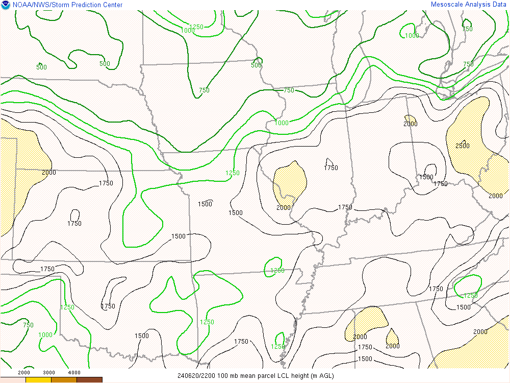 |
 |
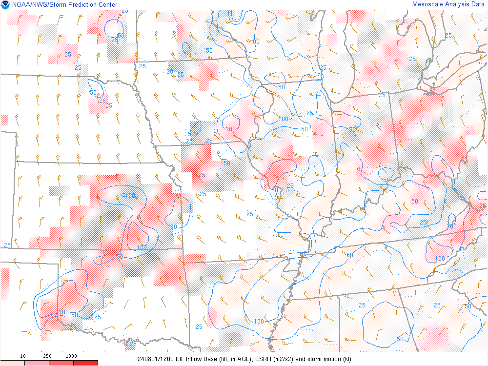 |
| Supercell Composite | Significant Tor (fixed) | Sig Hail | Precip Water |
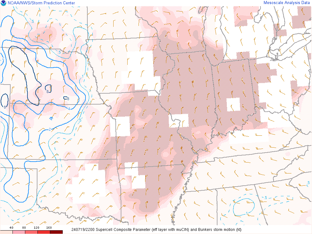 |
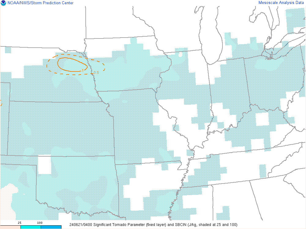 |
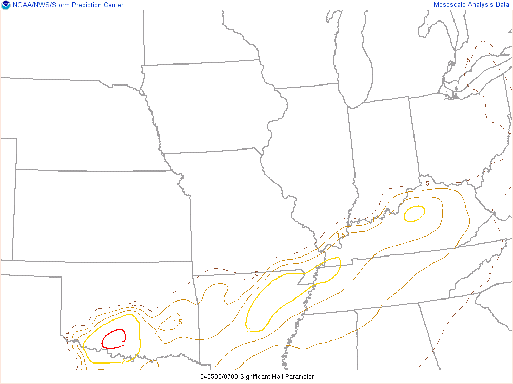 |
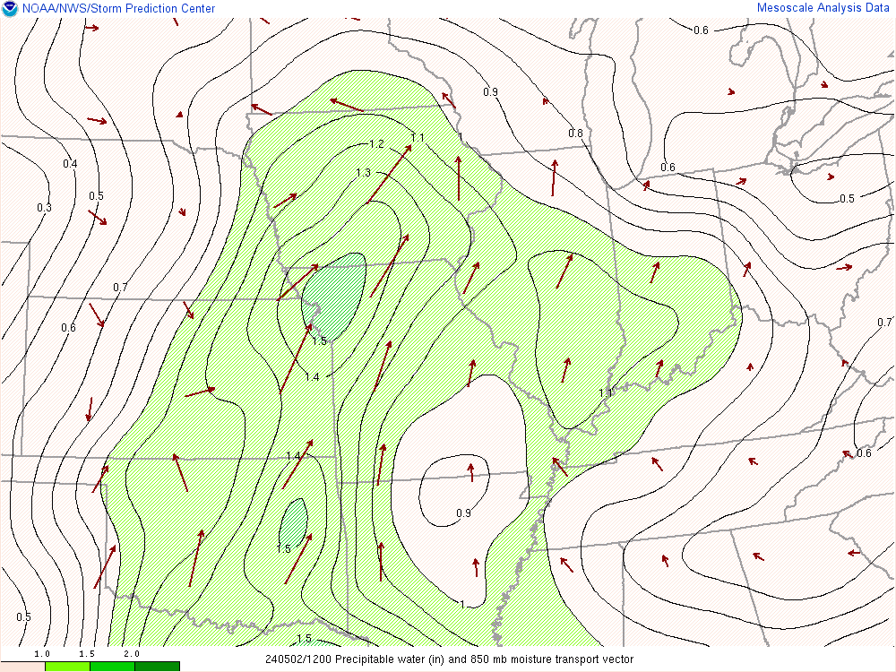 |
Hazards
Hazardous Weather Outlook
Drought Information
NOAA All Hazards Radio
Graphical Hazards Outlook
Spotter Information
Outdoor Event Watcher
Local forecasts
Local Area
Aviation
Computer Model Forecasts
Fire Weather
Graphical
Precipitation
Air Quality
Text River Forecasts
Area Forecast Discussion
Central Indiana Weather Brief
US Dept of Commerce
National Oceanic and Atmospheric Administration
National Weather Service
Indianapolis, IN
6900 West Hanna Avenue
Indianapolis, IN 46241-9526
317-856-0664
Comments? Questions? Please Contact Us.


