Record setting heat is expected over the next several days from the Intermountain West through the northern Plains. Furthermore, fire weather concerns increase with dry and breezy conditions. Meanwhile, heavy rainfall and severe thunderstorm threats for the Ohio/Tennessee Valleys, central Appalachians and Southeast today. The threat shifts to central Gulf Coast and across central Texas this week. Read More >
Central Illinois
Weather Forecast Office
|
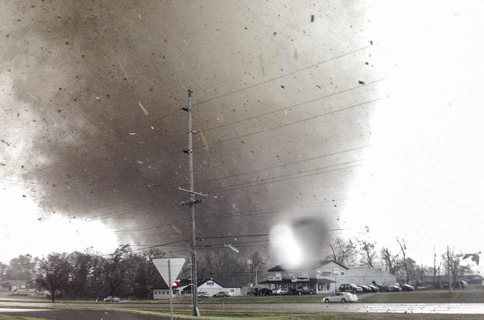
Photos: Top right -- Tornado striking Washington. Photo by |
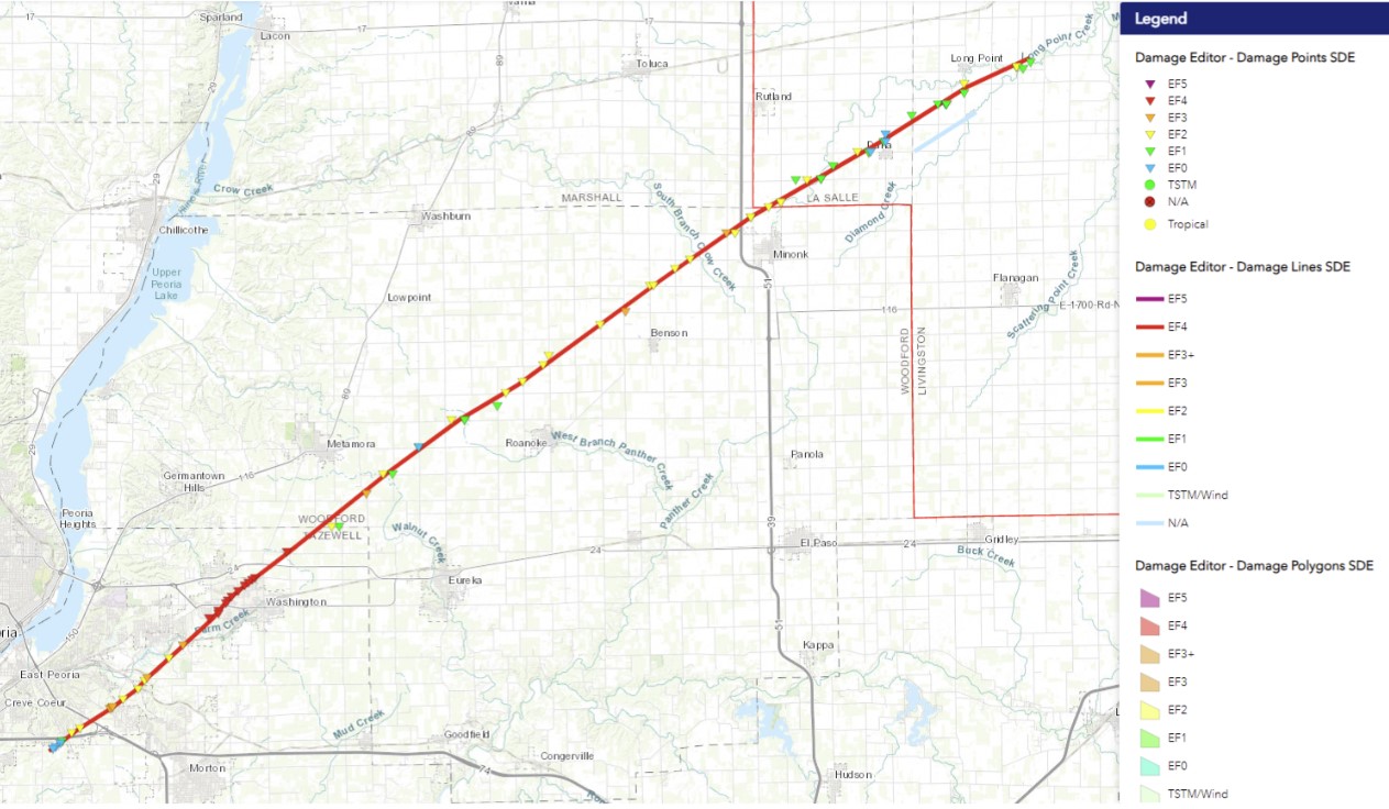 |
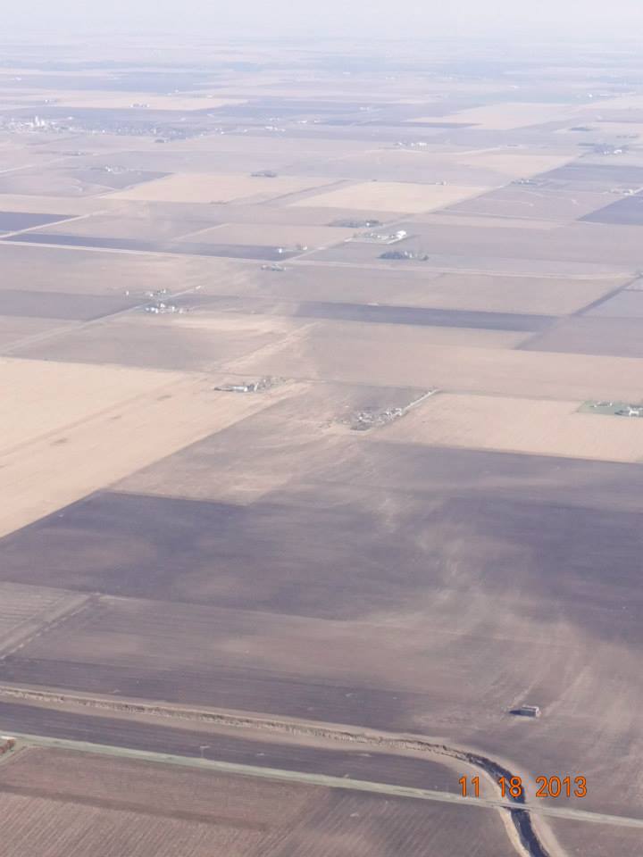
November 17th marks the 10 year anniversary of Illinois' largest November tornado outbreak on record, when 25 tornadoes struck the state. One of these tornadoes peaked at EF4 intensity as it went through Washington, producing an maximum estimated wind speed of 190 mph and causing over $800 million in damage. Three fatalities occurred and 125 people were injured along its 46 mile path.
We have put together an ArcGIS StoryMap to review the events of that day. We include a timeline of forecast information leading up to the event, radar imagery, tornado and damage photos, and an interactive mapping to zoom in on the track.
We thank those of you who submitted photos for us to use as part of this retrospective, and express our sympathy to those affected by this powerful storm.
US Dept of Commerce
National Oceanic and Atmospheric Administration
National Weather Service
Central Illinois
1362 State Route 10
Lincoln, IL 62656
217-732-7321 (forecast recording) or 217-732-3089
Comments? Questions? Please Contact Us.