Overview
|
On April 3, 1974, the beginning of a widespread severe weather outbreak was occurring in Illinois. Within a 24 hour period, a total of 148 tornadoes occurred in 13 states (Illinois, Indiana, Michigan, Ohio, Kentucky, Tennessee, Alabama, Mississippi, Georgia, North Carolina, Virginia, West Virginia, and New York), as well as Ontario, Canada. This stood as the largest tornado outbreak on record, until 358 tornadoes occurred over a 4 day period from April 25-28, 2011. This tornado outbreak killed 319 people across the nation, and was the deadliest tornado outbreak since April 5-6, 1936, when 454 people were killed over the southeast U.S. (primarily in Tupelo, MS, and Gainesville, GA). The 1974 outbreak remains the most violent on record, with 30 tornadoes ranked as F4 or F5 on the original Fujita Scale.
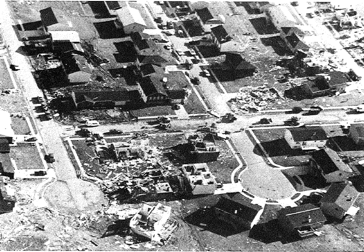
The outbreak began in Illinois early afternoon Central time on April 3. Twelve of the 148 tornadoes in this outbreak touched down in the state. Four of them were of F3 strength; these affected portions of Macon, McLean, Champaign, and Vermilion Counties. The one in Decatur did the most damage. Two deaths were reported in the state, with 30 injuries. |
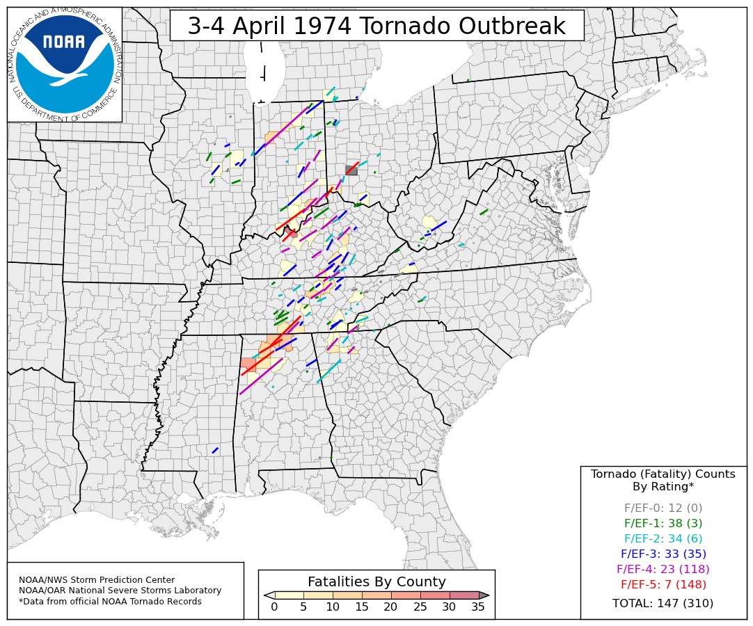 Map of tornado outbreak, from Storm Prediction Center and National Severe Storms Laboratory |
Tornadoes:
|
Morris
Track Map 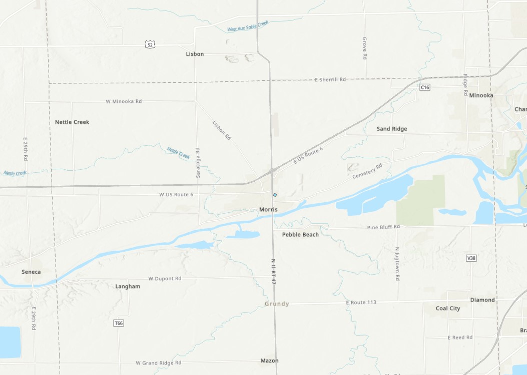
|
||||||||||||||||
|
Carlock
Track Map 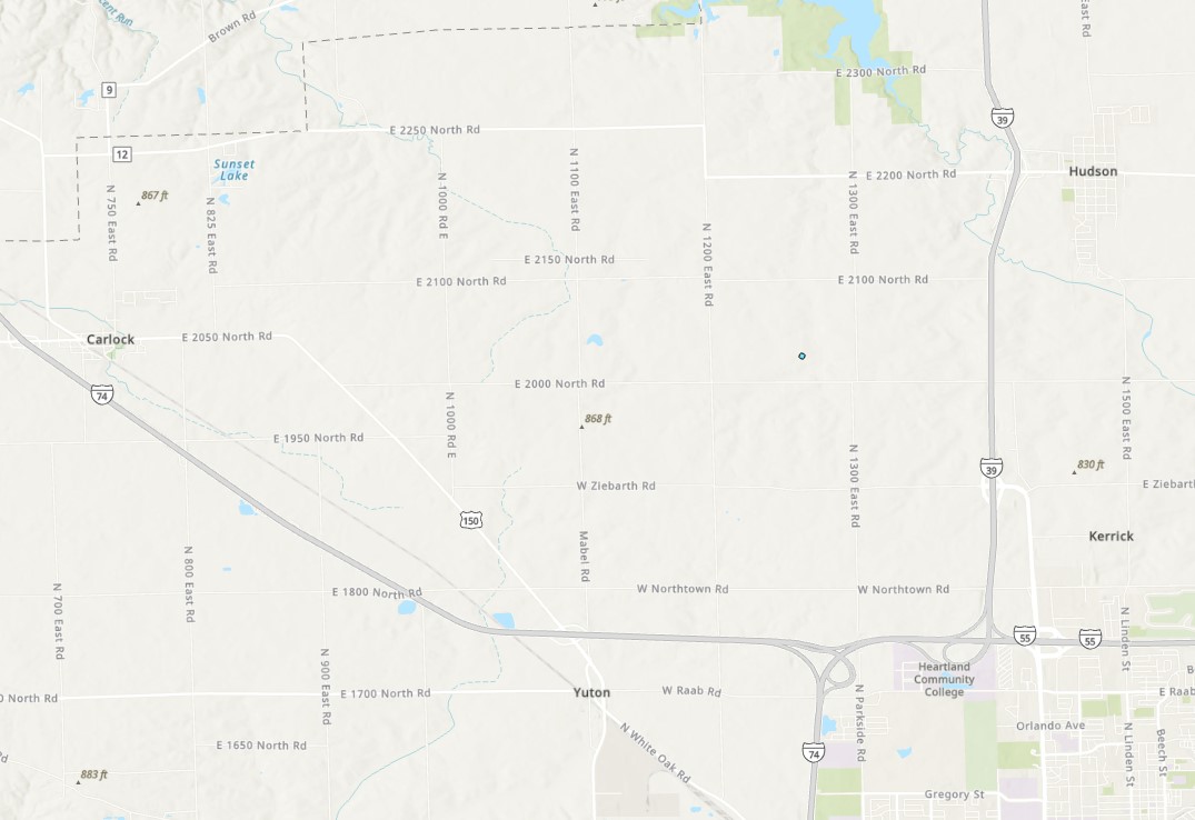
|
||||||||||||||||
|
Lincoln to McLean
Track Map 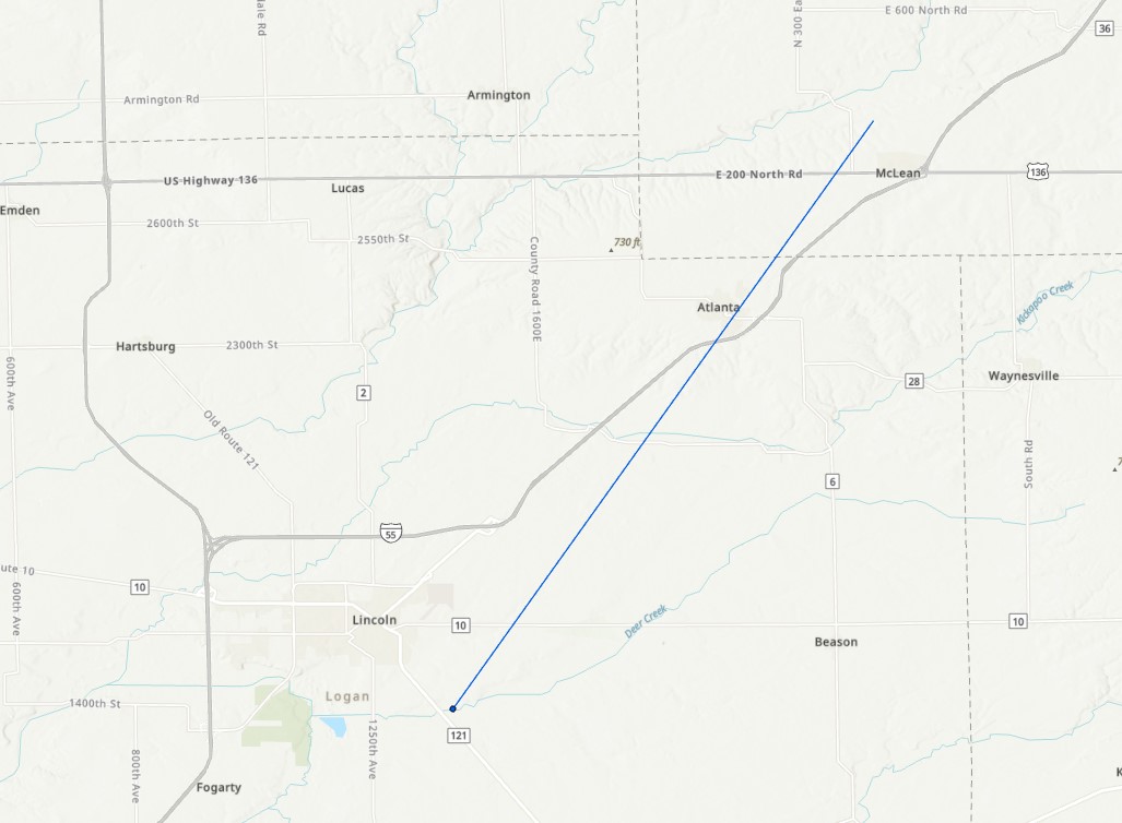
|
||||||||||||||||
|
Colfax/Anchor
Track Map 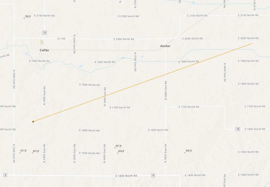
|
||||||||||||||||
|
Decatur
Track Map
|
||||||||||||||||
|
Farmer City
Track Map 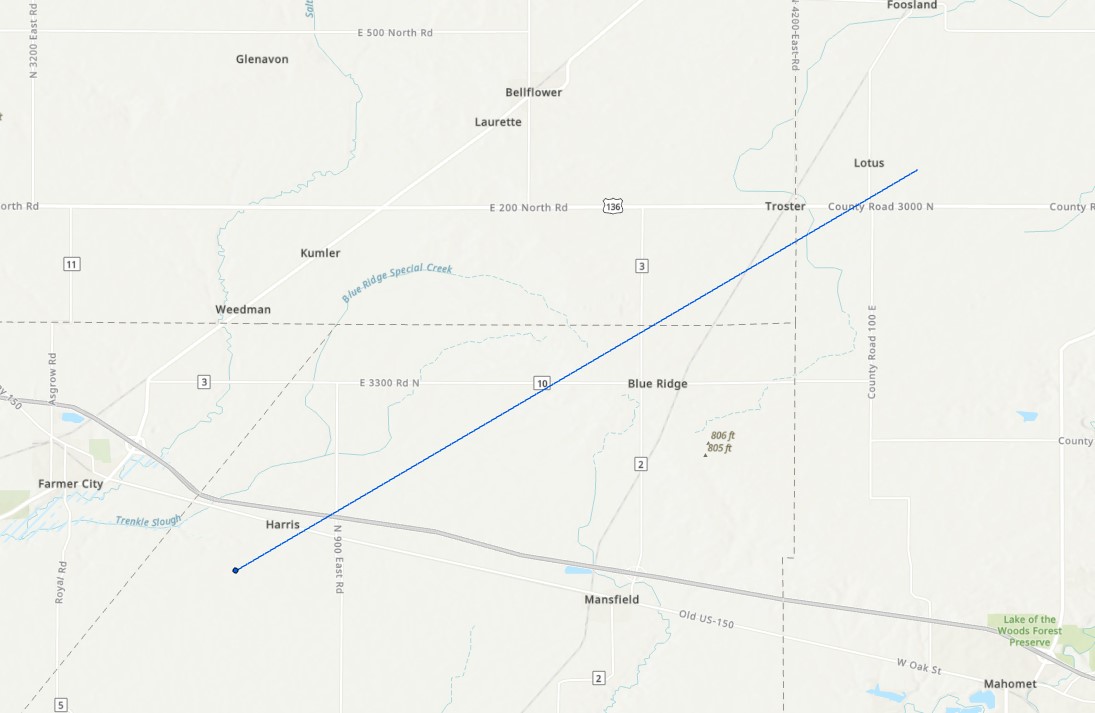
|
||||||||||||||||
|
Owaneco
Track Map 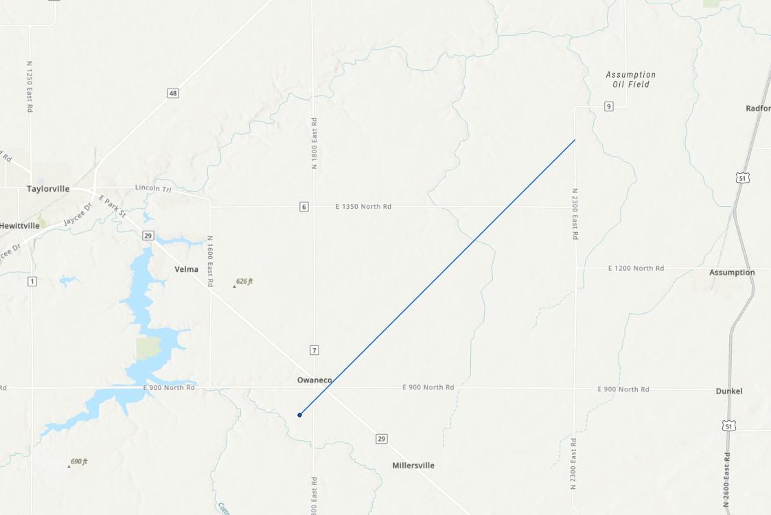
|
||||||||||||||||
|
Hammond
Track Map 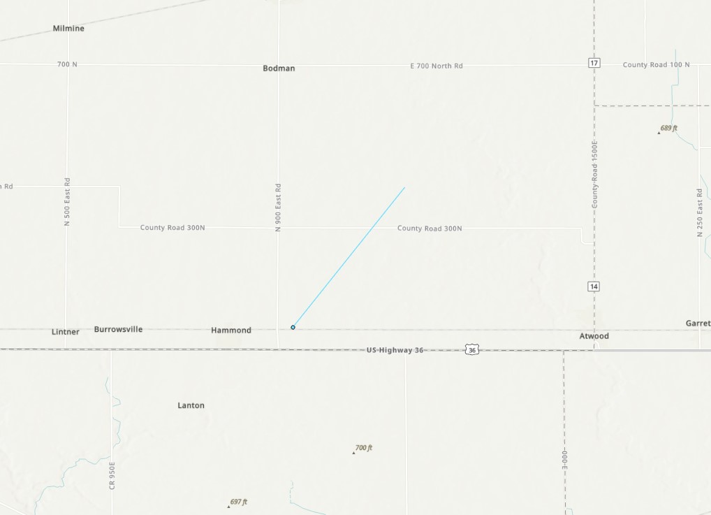
|
||||||||||||||||
|
Tolono/Philo
Track Map 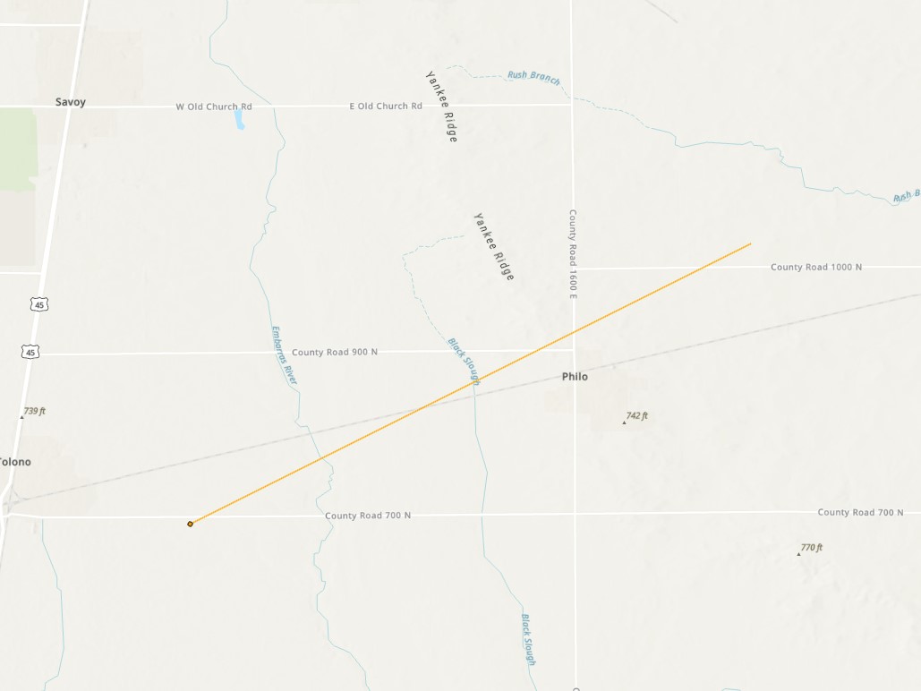
|
||||||||||||||||
|
Homer/Fithian
Track Map 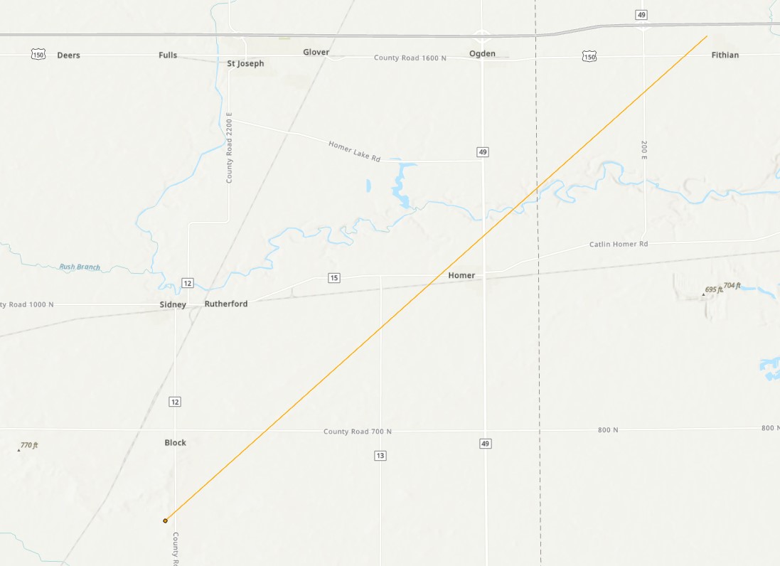
|
||||||||||||||||
|
Bismarck
Track Map 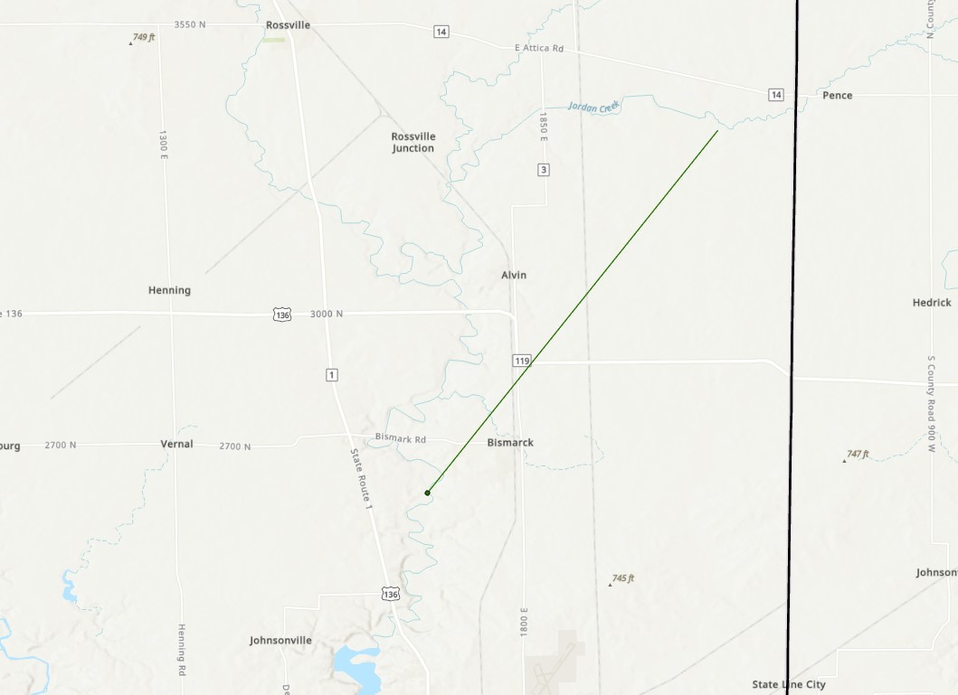
|
||||||||||||||||
|
Mattoon
Track Map 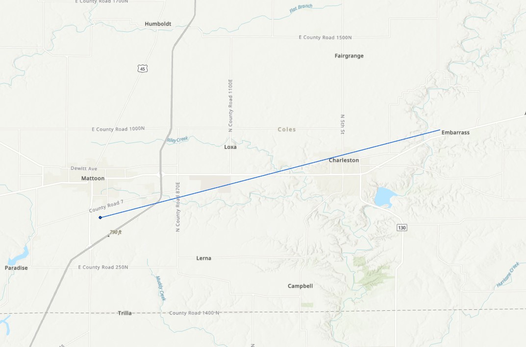
|
||||||||||||||||
Storm Reports
Mapping of tornado outbreak, from the University of Chicago. Numbers indicate the order of occurrence within the outbreak.
 |
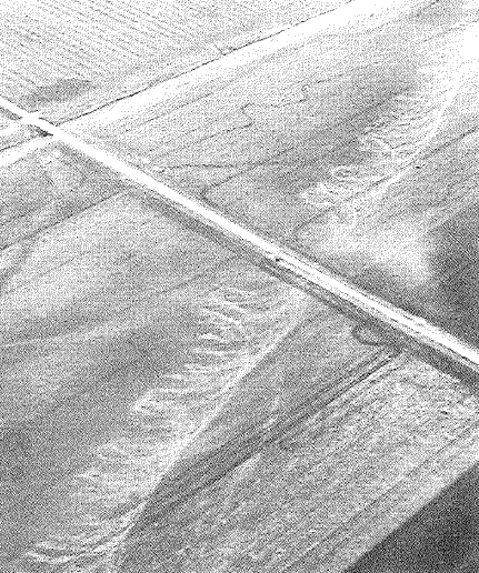 |
| Some of the strongest damage that was observed in Decatur. Image from the Decatur Herald and Review. | A flight over the tornado track near Anchor showed spiral markings on the ground, caused by multiple suction vortices within the tornado. Image from T.T. Fujita. |
 |
Media use of NWS Web News Stories is encouraged! Please acknowledge the NWS as the source of any news information accessed from this site. |
 |