
Record setting heat is expected over the next several days from the Intermountain West through the northern Plains. Furthermore, fire weather concerns increase with dry and breezy conditions. Meanwhile, heavy rainfall and severe thunderstorm threats for the Ohio/Tennessee Valleys, central Appalachians and Southeast today. The threat shifts to central Gulf Coast and across central Texas this week. Read More >
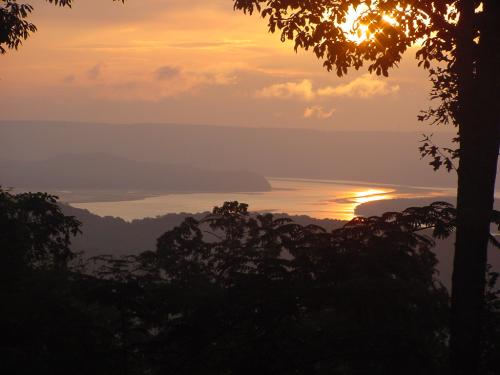
The sun breaks over the ridgetops at Lake Guntersville. Taken July 29, 2003
by Diane Walthall. |
|||||||||||||||||||||||||||||||||||||||||||||||||||||||||||||||||||||||||||||||||||||||||||||||||||||||||||||||||||||
|
Sunrise/Sunset Tables:
|
|||||||||||||||||||||||||||||||||||||||||||||||||||||||||||||||||||||||||||||||||||||||||||||||||||||||||||||||||||||
|
Please note that the times above may differ slightly from those issued on our climate reports.
***** The U.S. Naval Observatory (USNO) computes astronomical data. Therefore, the NWS does not record, See https://www.usno.navy.mil/USNO/astronomical-applications/astronomical-information-center/litigation
|
|||||||||||||||||||||||||||||||||||||||||||||||||||||||||||||||||||||||||||||||||||||||||||||||||||||||||||||||||||||
|
Moonrise/Moonset Tables:
|
|||||||||||||||||||||||||||||||||||||||||||||||||||||||||||||||||||||||||||||||||||||||||||||||||||||||||||||||||||||
|
Need other kinds of astronomical information? Start at the US Naval Observatory. |


 Local Radar
 Weather Map