
Extremely critical fire weather concerns for portions of the southern High Plans as strong wind and very dry conditions could result in rapid spread of any fires. Meanwhile, severe thunderstorms are expected once again across areas of the Central and Southern Plains, then spreading in the Mississippi Valley regions on Monday. Damaging winds, very large hail and strong tornadoes are possible. Read More >
Huntsville, AL
Weather Forecast Office
|
Back to December 2004 Flood Page
|
US Dept of Commerce
National Oceanic and Atmospheric Administration
National Weather Service
Huntsville, AL
320A Sparkman Drive
Huntsville, AL 35805
256-890-8503
Comments? Questions? Please Contact Us.


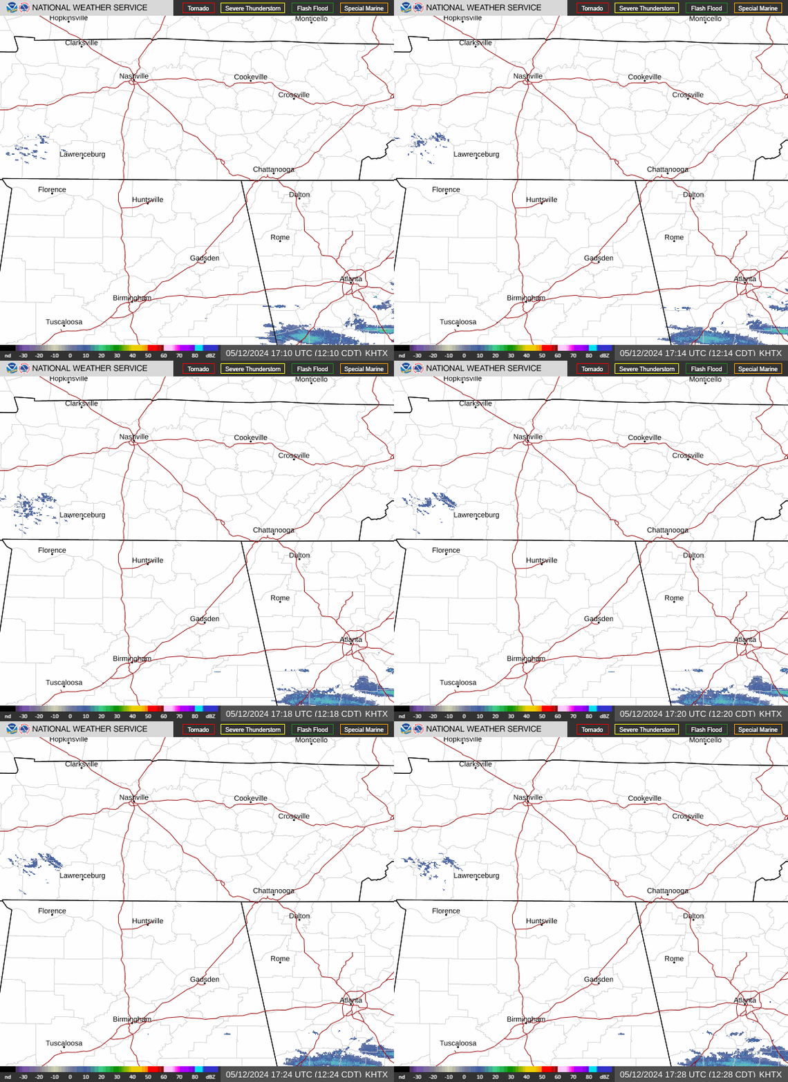 Local Radar
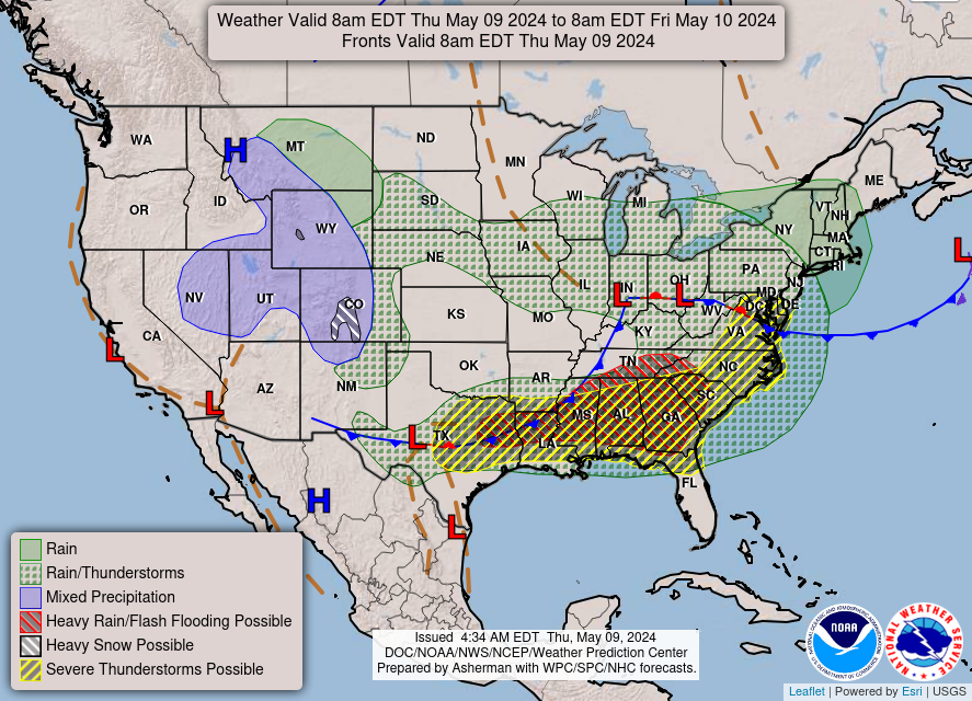 Weather Map