National Weather Service United States Department of Commerce

Snow in the Rockies; Showers and Thunderstorms Along the Gulf Coast; Potential Winter Storm for Northern Mid-Atlantic and Interior New England

A winter-like pattern will continue over much of the Lower 48 over the next few days, with snow stretching from the Rockies today into the Middle Mississippi Valley on Monday. Showers and thunderstorms will develop along the Gulf Coast and Southeast on Monday. As the storm moves northward late Monday into Tuesday, winter weather is possible from the Central Appalachians to Interior New England. Read More >

On November 17th, a line of showers and thunderstorms, moving ahead of a cold front during the evening hours, weakened as it moved over southern Tennessee and northwest Alabama.  A small portion of the line broke, and a weak tornado touched down briefly in Lincoln County, Tennessee around the Howell and Petersburg areas. 


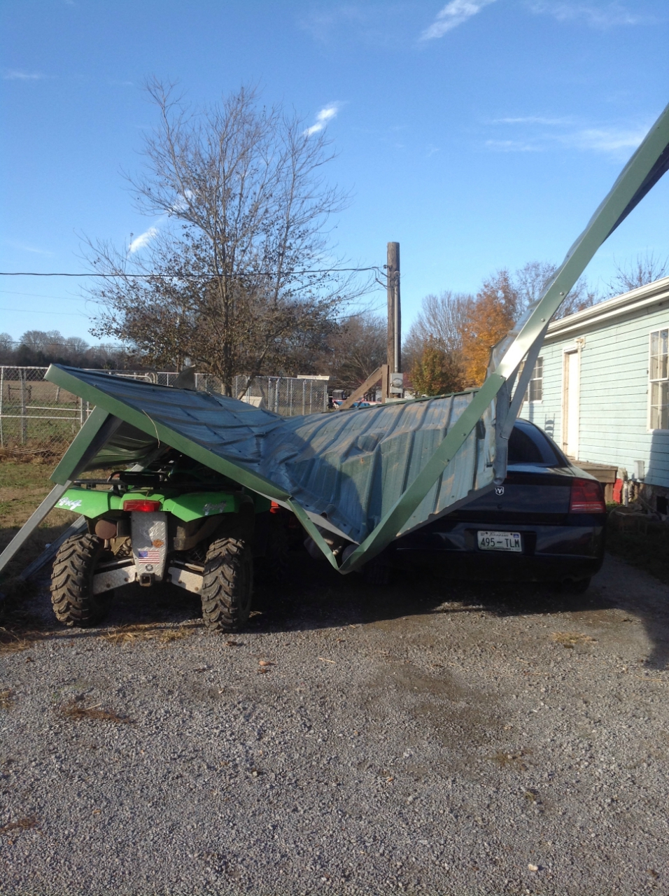
 Tornado Surveys Completed 

NWS Huntsville Meteorologists surveyed damage near Howell in Lincoln County, TN on November 18th.  The damage occurred on November 17th, between 937 PM CDT and 940 PM CDT. Below is a summary of the information about this tornado.

(Click on the entries under the last column for track information and to look at damage pictures)

 Detailed Summary
Link
EF Scale/Max Wind Speed (mph) 

Injuries/
Fatalities

Path Length (Miles)

Path Width (Yards) 

Starting Lat/.Long

Ending Lat/.Long

Track Images/Files

Howell, TN
(Lincoln)

EF-0

85 MPH

0/0

0.6

25

35.22198/
-86.64184

 35.22175/
-86.63181

KMZ - Points 

 
SPC Day 2 Outlook
Roof Damage to a trailer on Haysland Road Carport destroyed on Brown Teal Road