The nor’easter will weaken tonight, easing beach conditions and coastal flooding, though locally heavy rain will continue in parts of the Mid-Atlantic and New England into Monday. Hurricane Nolo continues to bring strong winds and large waves to Hawaii. A multi-day rain event will return to the Four Corners region Monday and expand to the south-central U.S. by midweek. Read More >
|
Wind and Hail Event
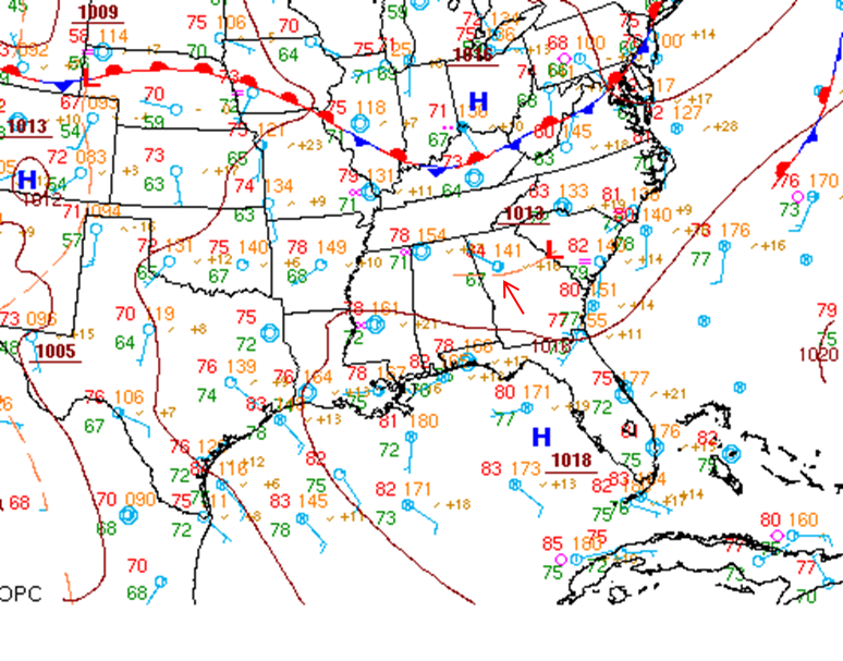
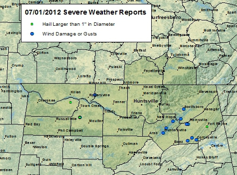
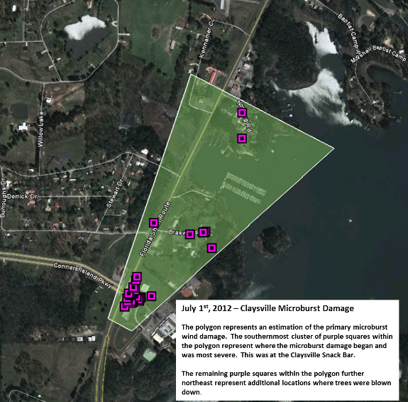
Click here to see more details about the severe weather reports received. Claysville Damage (Marshall County, AL)
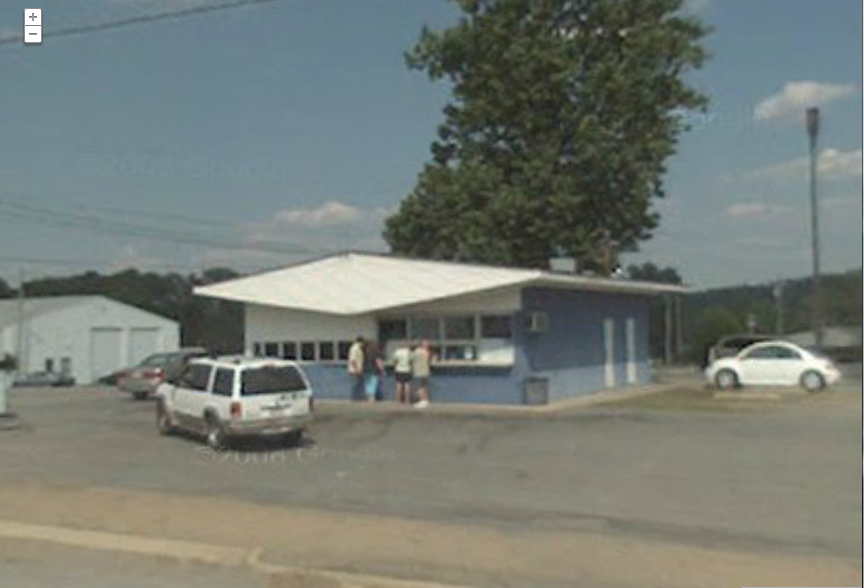
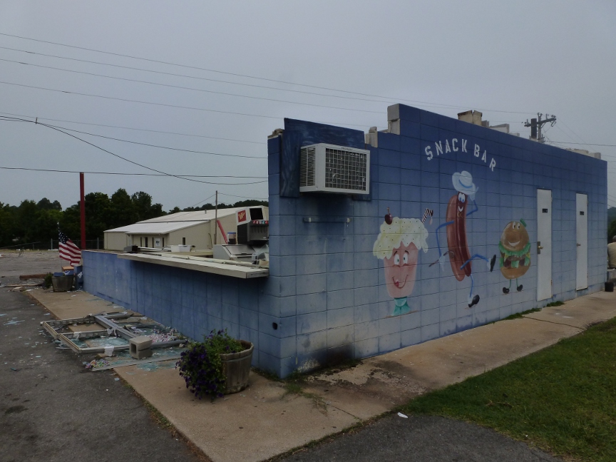
Some of these severe storms produced up to golfball size hail and very damaging winds. The worst of this microburst wind damage occurred in the Claysville community near Guntersville. A formal storm survey was completed on this damage and found to be produced by microburst winds between 80 and 100 mph. Click here to see the public information statement concerning this damage. Below is an image of damage looked at during this survey.
|
||||||
|
||||||
|
Needed Rainfall Also Fell In Some Locations!!
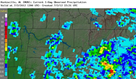
Despite the severe weather, some good did come from the scattered storms on July 1st. Some locations, especially in Marshall, Dekalb and Marshall counties in northeastern Alabama received 1 to 3 inches of needed rainfall. A good portion of western Lawrence county also received 1 to 2 inches of needed rainfall. |
||||||


 Local Radar
 Weather Map
 NWS Huntsville SitRep
 Follow us on X
 Follow us on Facebook
 Follow us on YouTube
 HUN RSS Feed