|
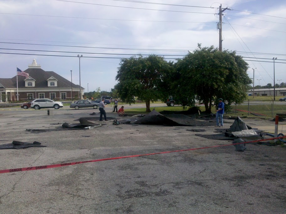
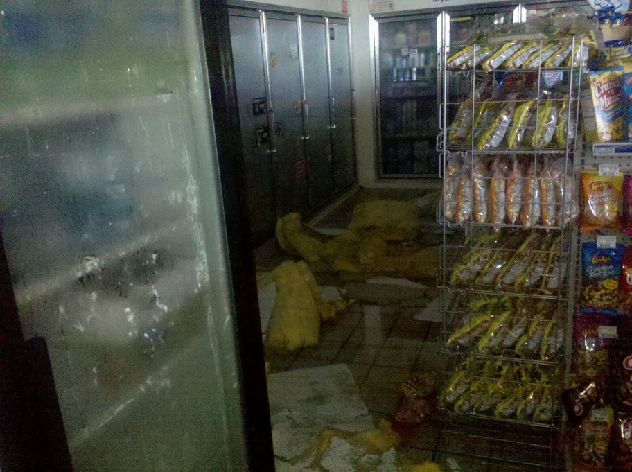
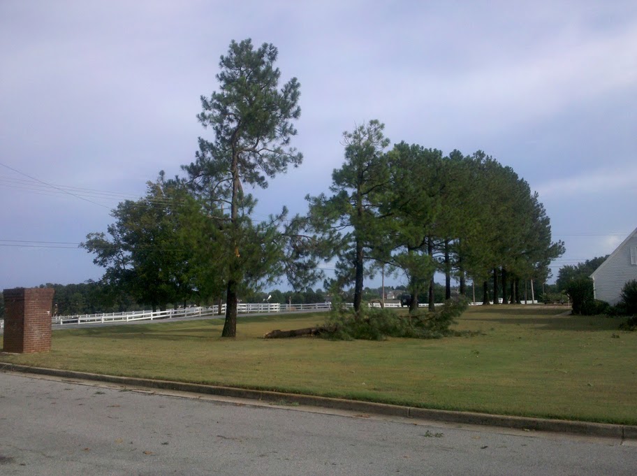
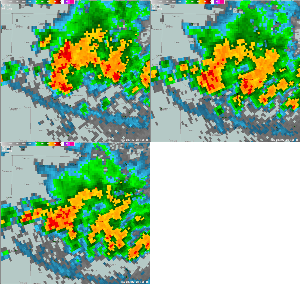
Clusters of strong to severe thunderstorms impacted parts of the central Tennessee Valley on July 26th, 2010. One particular storm struck a portion of Limestone County, impacting the east side of Athens along Highway 72. Around 315 pm, a downburst, or microburst, type thunderstorm impacted east central Limestone County. The Texaco gas station / Jiffy Food Store along Hwy 72 and County Road 83 suffered roof damage. Elsewhere, sporadic damage also included several small tree limbs blown down with a few other trees coming close to being uprooted. There was also very minor damage to homes and other small structures. Initial reports of damage were relayed to the National Weather Service (NWS) office in Huntsville by Limestone County Emergency Management personnel. An off-duty NWS employee also surveyed the damage in Limestone County. Based on this information, along with supporting NWS doppler radar data, initial findings are as follows:
|
|
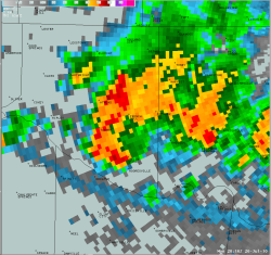
Click on the image to view a radar loop between 3:16 pm and 3:34 pm CDT.
The red/orange colors east of Athens depict the location of the microburst.
Notice also the linear outflow boundary stretching west to east ahead of the
thunderstorm activity, moving southward.
|
Click here for other storm
damage that was reported
during the event. |


 Local Radar
 Weather Map
 NWS Huntsville SitRep
 Follow us on X
 Follow us on Facebook
 Follow us on YouTube
 HUN RSS Feed