| Tornado and Hail Outbreak |
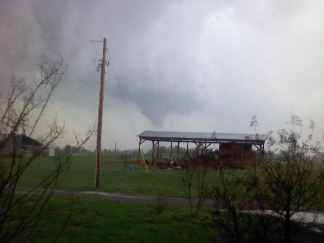
The Marshall/Jackson/DeKalb County EF-3 tornado as it was moving across the Guntersville Lake area Friday afternoon. This picture was taken from the Swearengin community in northeast Marshall County looking south toward the tornado by Chief Mitch McCullough of the Swearengin Volunteer Fire Department. |
|
| Summary
|
|
A series of supercell thunderstorms swept across the Mid-South and Southeast states on April 9-10, 2009. The storms produced multiple tornadoes and widespread hail damage across Arkansas, Oklahoma, Tennessee, Kentucky, Mississippi, Georgia, South Carolina, and Alabama.
|
| Storm Surveys
|
|
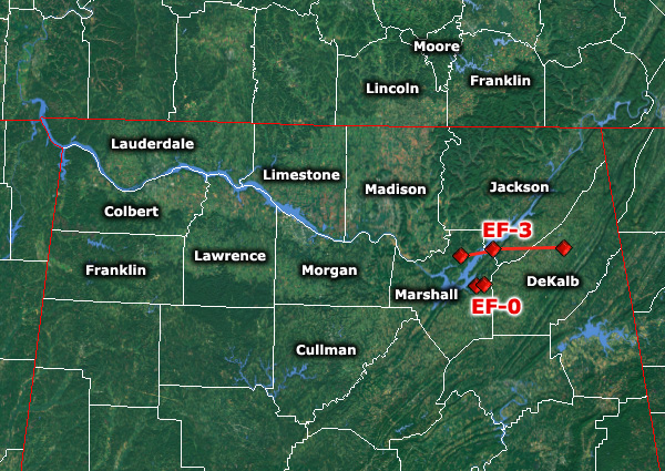
Storm surveys were completed on one significant tornado that occurred within the NWS Huntsville area of responsibility (all times specified are based on radar estimates):
Marshall, Dekalb and Jackson Counties, Alabama: EF-3 (approximately 3:05 PM to 3:40 PM)
One additional weaker tornado was found to have occurred:
Marshall County, Alabama: EF-0 (brief touchdown at approximately 5:38 AM)
|
| Hail/Wind Damage
|
|
Pictures
Wall cloud near Tuscumbia. (Courtesy Josh Scott)
|
Wall cloud near Tuscumbia. (Courtesy Josh Scott)
|
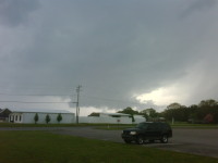
Wall cloud near Tuscumbia. (Courtesy Colbert County EMA)
|
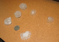
This hail fell along Huntsville Highway in Fayetteville, TN. (Courtesy Carl Kittle)
|
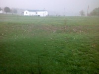
Large hail on the ground in the Swearengin area of northern Marshall County. (Courtesy Mitch McCullough)
|
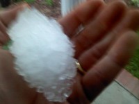
This large hailstone fell in the Swearegin community in northern Marshall County. (Courtesy Mitch McCullough)
|
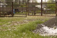
Large hail accumulated in southeast Morgan County near the Ryan Crossroads community. (Courtesy Todd Murphy)
|
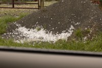
Large hail accumulated in southeast Morgan County near the Ryan Crossroads community. (Courtesy Todd Murphy)
|

These hailstones fell just east of Holly Pond in Cullman County. (Courtesy Todd Murphy)
|
|
|
|
| Additional Coverage from Regional NWS Offices |
|
Birmingham TN (Central Alabama)
• Storm Overview and Survey Information
Jackson MS (Central and Southern Mississippi)
• Storm Overview and Survey Information
Paducah KY (Western Kentucky and Southeast Missouri)
• Storm Reports, Photos, Radar Imagery
|