
Showers and thunderstorms will be possible from the northern Plains to the Gulf Coast on Monday. Thunderstorms with large hail and severe wind gusts are expected Monday afternoon and evening across parts of the central Plains. Read More >
|
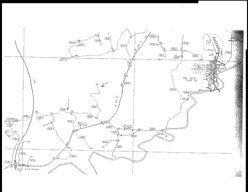
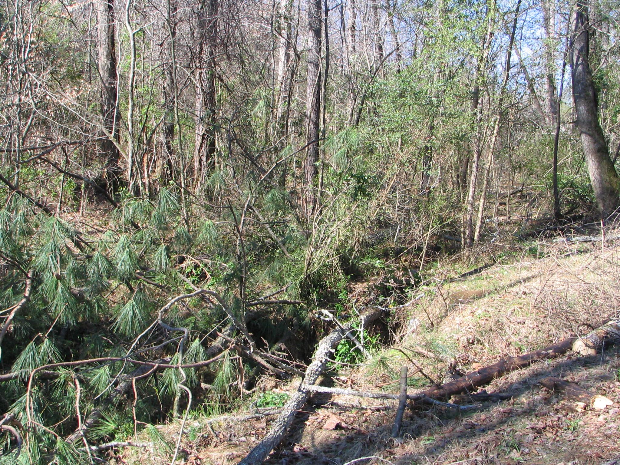
The image below indicates the locations of scattered tornado damage that occurred in Cullman County on March 13, 2006. The initial touch down was along County Road 501 about 13 miles south-southwest of Cullman, just east of I-65, about 2 miles east-southeast of the I-65 291 exit. The tornado initially knocked down a few trees in this area and had a path length of 75 yards and a path width of 50 yards. Wind speeds were estimated at 70 mph, making it an F-0 tornado. The tornado lifted and then touched down briefly again along County Road 504, (attached image) about 11 miles south of Cullman. The path length of the F-0 tornado with winds topping out at 60 mph was 20 yards in length and 20 yards in width. The tornado quickly lifted and then touched down again about 4 miles northeast of the previous touch down, along the north end of County Road 506, about 9 miles southeast of Cullman. The path length was around 20 yards and the path width was 20 yards. Again, the tornado was an F-0 with maximum wind speeds at 60 mph.
|


 Local Radar
 Weather Map