|
Flooding Event May 4th - 8th, 2003
The heaviest rain in quite some time fell across northern Alabama in early May 2003. For many locations, it was the wettest month in a decade or more.
All the rain also caused some significant flooding along the Tennessee River and its tributaries, and flash flooding, especially in the Huntsville metropolitan area.
One automated precipitation station in Northeast Huntsville reported 0.96" of rain in just five minutes -- and over four inches in an hour!
· Graphic of rainfall totals from across Huntsville HSA
· Statement regarding rainfall totals for the month of May
· Percentage of normal precipitation for May 2003 in Alabama (through 5/23)
· Observed precipitation for May 2003 in Alabama (through 5/23)
IMAGES (some images courtesy Jared Cassidy, Madison EMA)
Click on the image to see a larger view.
|
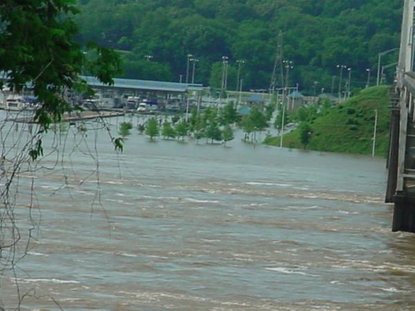
Waters from the Tennessee River inundate McFarland Park in Florence. This view taken from above on Hwy 72.
|
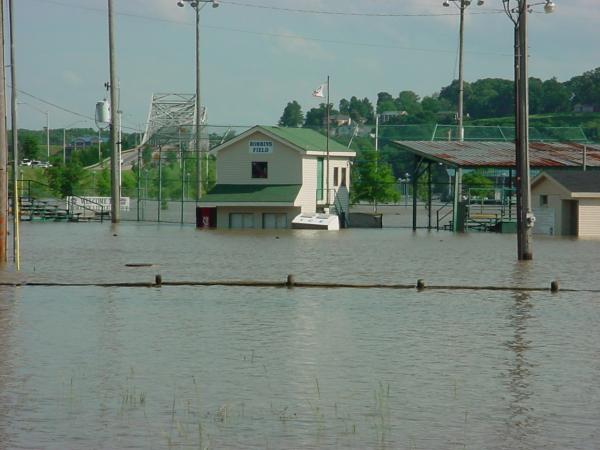
A closer view of McFarland Park from the ground. Note the floating ice machine near the building.
|
|
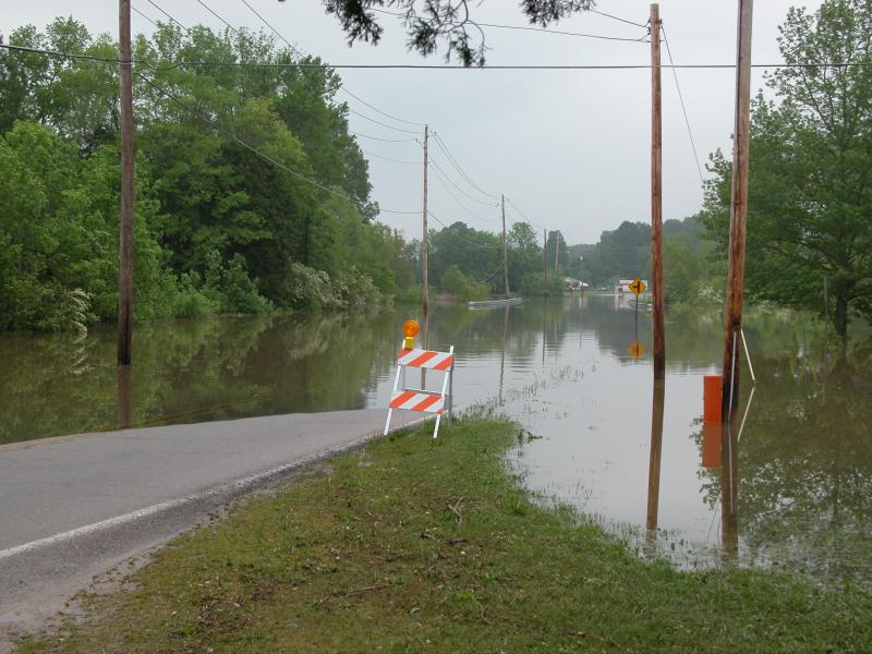
Flooding along Ashmont Road in southern Madison County.
|
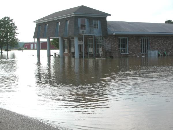
Flooding along Fischer Road in Madison County.
|
|
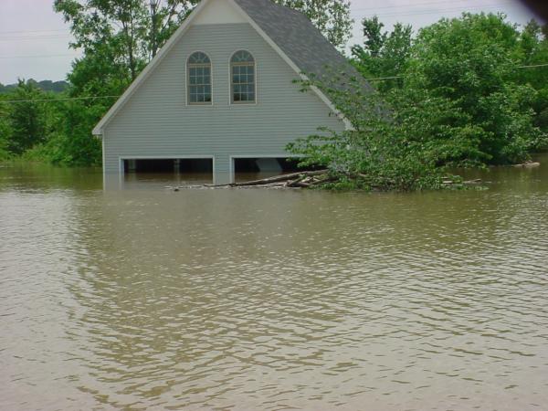
Flooding near Riverloop Road in northeastern Morgan County.
|
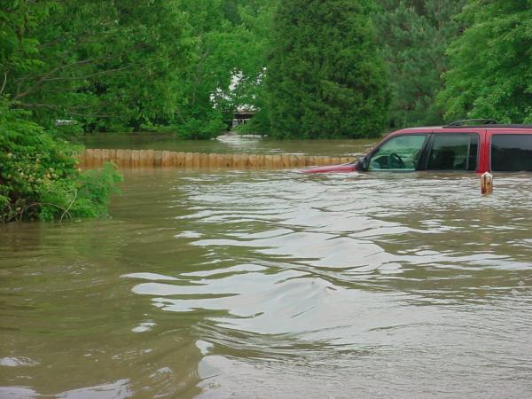
Flooding near Riverloop Road in northeastern Morgan County.
|
|


 Local Radar
 Weather Map
 NWS Huntsville SitRep
 Follow us on X
 Follow us on Facebook
 Follow us on YouTube
 HUN RSS Feed