National Weather Service United States Department of Commerce

Regional Outbreaks of Severe Weather Through Early Next Week; Early Season Heat Wave across the South

Active spring pattern across the center of our nation with several episodes of severe weather and heavy rainfall expected into next week. The potential for very large hail, long track tornadoes, severe wind gusts, frequent cloud to ground lightning strikes and flash flooding are in the outlook. Furthermore, dangerous early season heat wave continues for the Gulf Coast states into early next week. Read More >

3/19/2003 - Event Summary

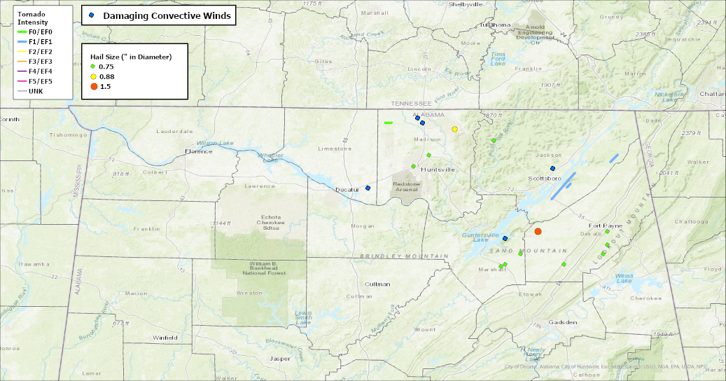
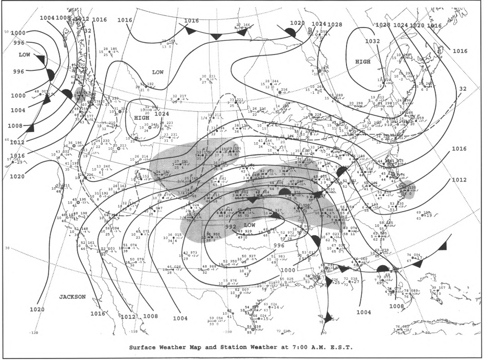
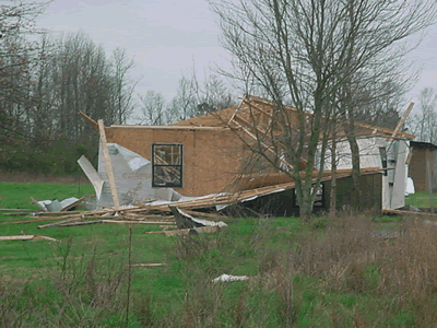
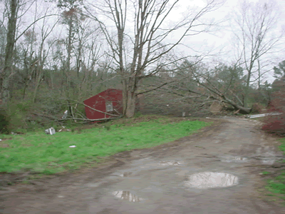
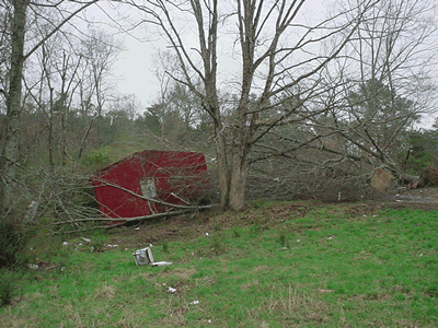
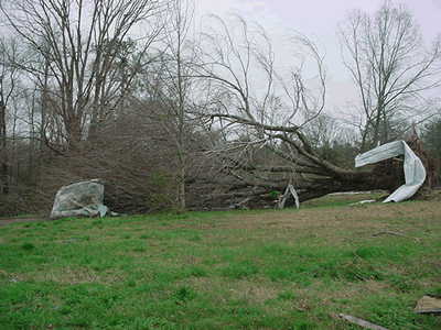
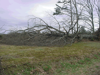
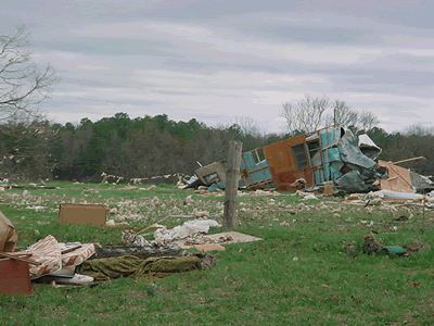
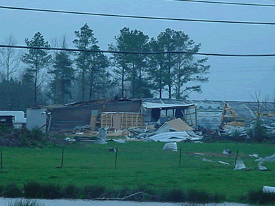
At the surface, a strong area of low pressure was centered over eastern Oklahoma and northwestern Arkansas on the morning of the 19th. A stationary front extended from the low into the Ohio Valley. A strong cold front trailed from the low into northeastern Arkansas and Mississippi. Storms developed in the late morning into the early afternoon hours as the cold front pushed near and east of the I-65 corridor. Some of these as seen below produced damaging winds, hail up to 1.5 inches in diameter, and tornadoes.  

 
Image Image
March 19th, 2003 Surface Analysis at 7 AM March 19th, 2003 500 mb Analysis at 7 AM