Areas of Showers and Thunderstorms to Start the Work Week
Areas of rain and thunderstorms are forecast Monday across the central and eastern states. Some mixed rain and snow is possible in the high Sierra Mountains. Heavy to excessive rain may bring flooding in the central Appalachians.
Read More >
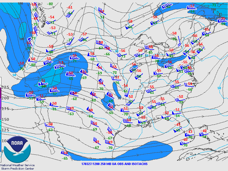
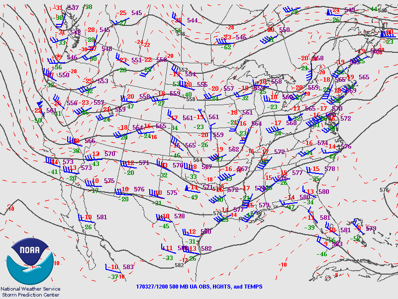
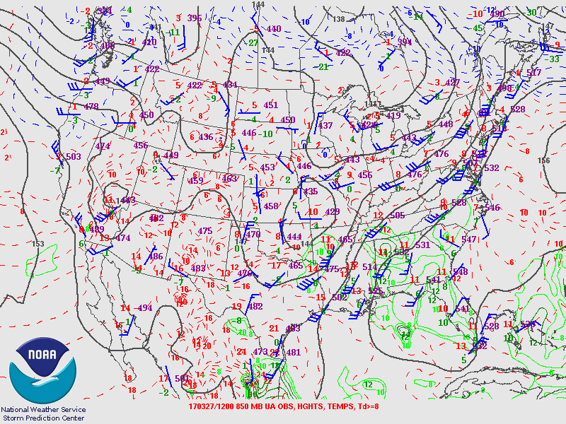
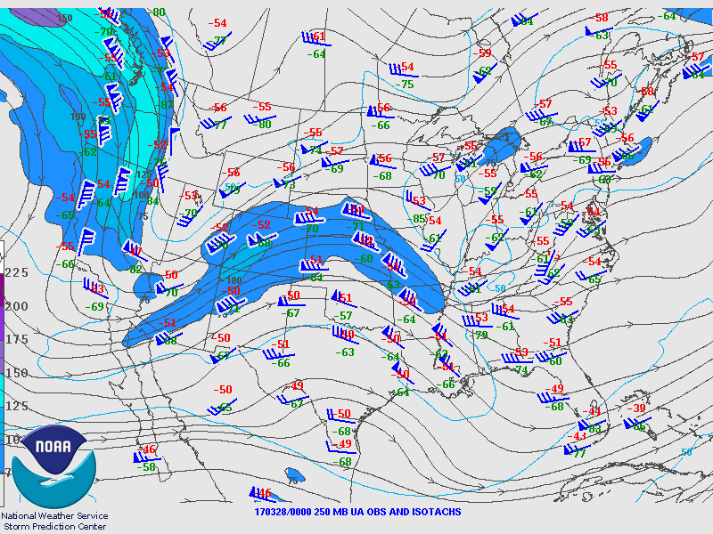
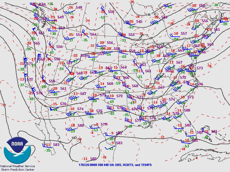
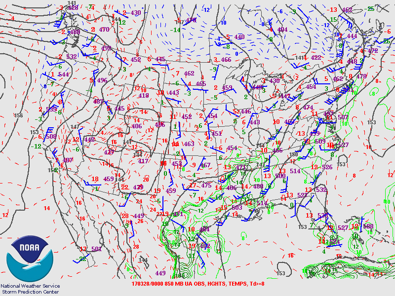
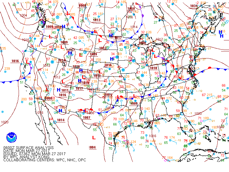
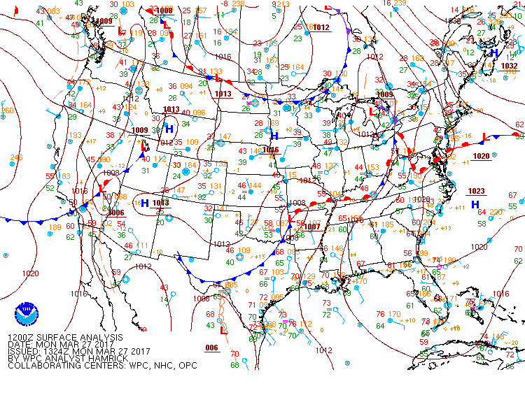
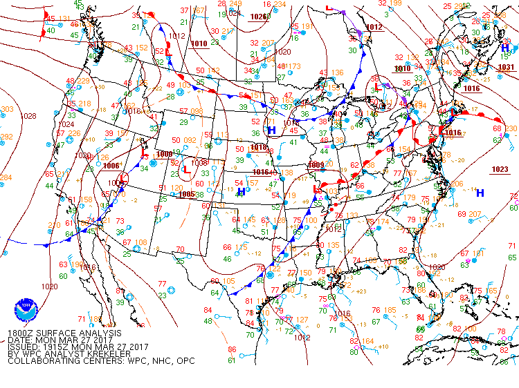
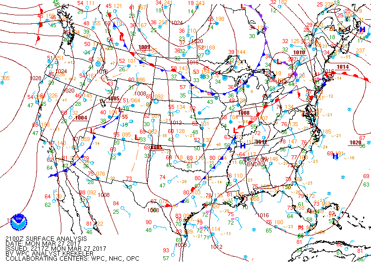
An upper level low was located over SE Missouri on the morning of March 27th. A shortwave ejected east ahead of its parent low sparking showers and thunderstorms over the Lower Mississippi Valley. These storms formed the first of two waves of storms that would impact the TN Valley.
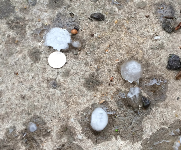
This initial wave of storms overspread west to east from the Mid South region, starting around 1:45PM. At the same time, additional storms developed across central Alabama and moved to the northeast. The original line continued to slowly track east-northeast and sink south at the same time. There were embedded severe thunderstorms in this line with multiple reports of quarter sized hail. As the line started to weaken, additional storms formed near Cullman County and moved northeast. These also produced quarter to golfball size hail in Cullman, DeKalb, and Marshall counties along with some wind damage in Dekalb county as well. This activity eventually combined with the line approaching from the northwest.
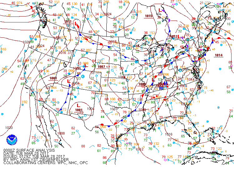
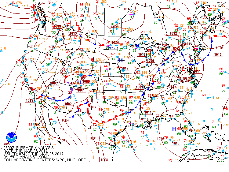
The second wave of storms impacted many of the same areas with severe weather, with another line of showers and thunderstorms moving in along a pre-frontal trough with a weak cold front trailing it. This line moved into NW Alabama around 8PM and very slowly sunk south-southeast. As this storm was moving through Wayne, Lawrence and Lewis Counties in TN, both Memphis and Nashville had tornado warnings with the line as well as multiple severe thunderstorm warnings. Initially, the line was staying north of the AL counties and didn’t seem very strong. It did pick up some strength and Severe Thunderstorm Warnings were issued for Franklin, Colbert, Limestone and Lawrence Counties in AL, with a couple quarter to golfball size hail reports and knocked down a few trees. The line continued to move very slowly south and was eventually south of the CWA by 1-2AM.
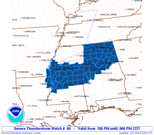
Severe Thunderstorm Watch # 90 was issued at 155 PM.
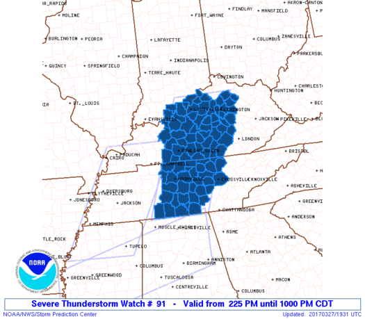
Severe Thunderstorm Watch # 91 was issued at 225 PM.
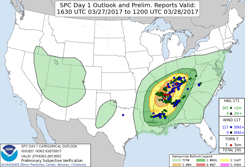
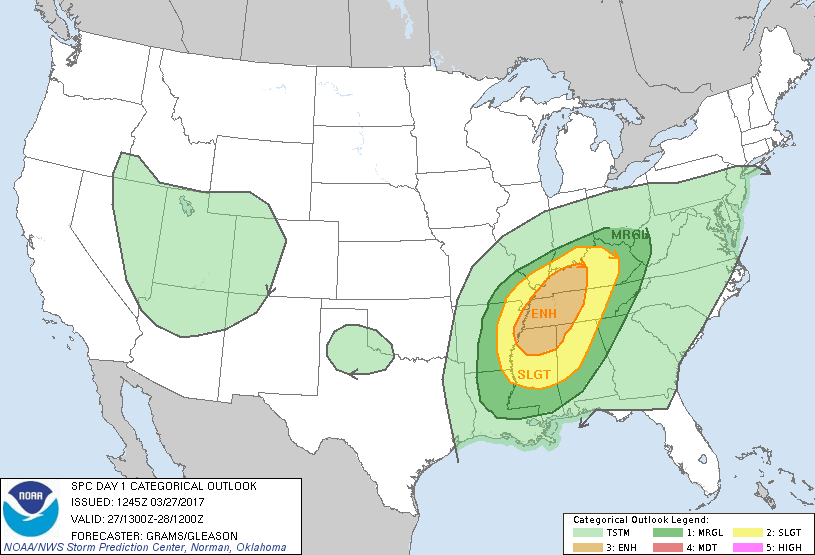
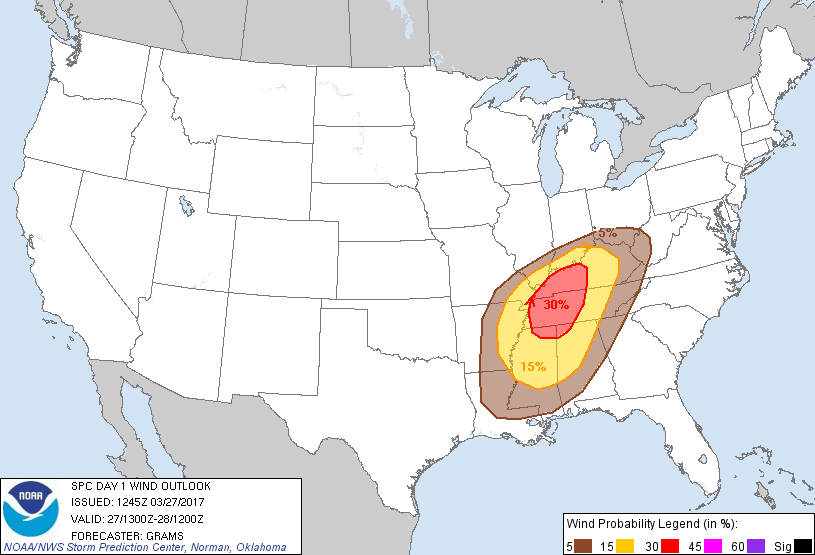
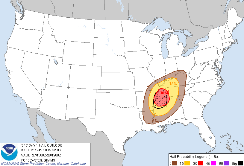
Day One SPC Outlook issued at 1120 AM and Storm Report Verification. Click the image to view the Local Storm Reports for the TN Valley.
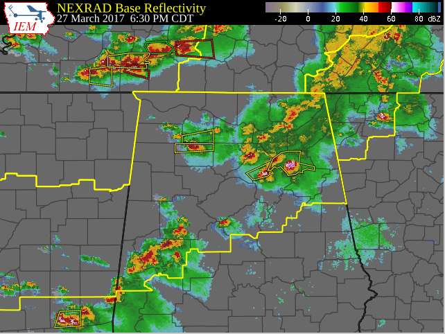
Composite Radar Image at 630 PM, as the second round of storms begins to approach northern Alabama from the northwest.