Huntsville, AL
Weather Forecast Office
| Murphy's Crossroads Area F1 Tornado |
 |
| Summary: |
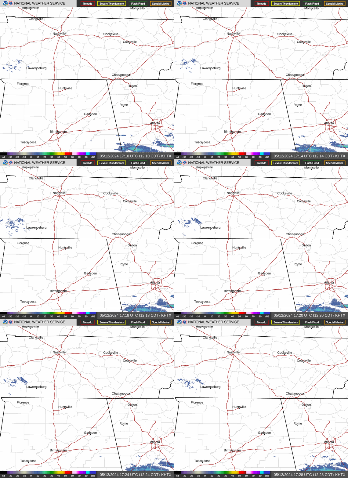
| Emergency management reported numerous trees and power lines snapped and twisted. The F1 tornado touched down 3 miles west of Murphy Crossroads and moved northeast to the Alabama/Tennessee state line. |
US Dept of Commerce
National Oceanic and Atmospheric Administration
National Weather Service
Huntsville, AL
320A Sparkman Drive
Huntsville, AL 35805
256-890-8503
Comments? Questions? Please Contact Us.


 Local Radar
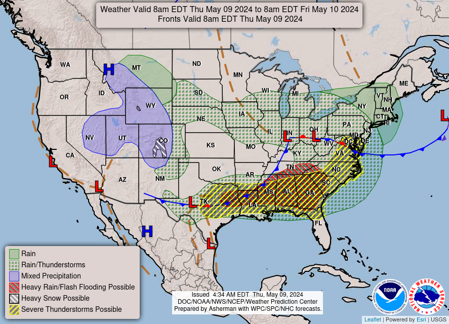
 Weather Map