
Showers and thunderstorms will be possible from the northern Plains to the Gulf Coast on Monday. Thunderstorms with large hail and severe wind gusts are expected Monday afternoon and evening across parts of the central Plains. Read More >
|
||||||||||||||||
|
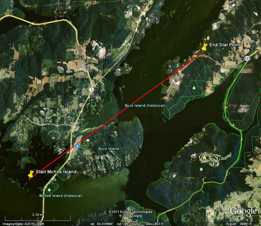
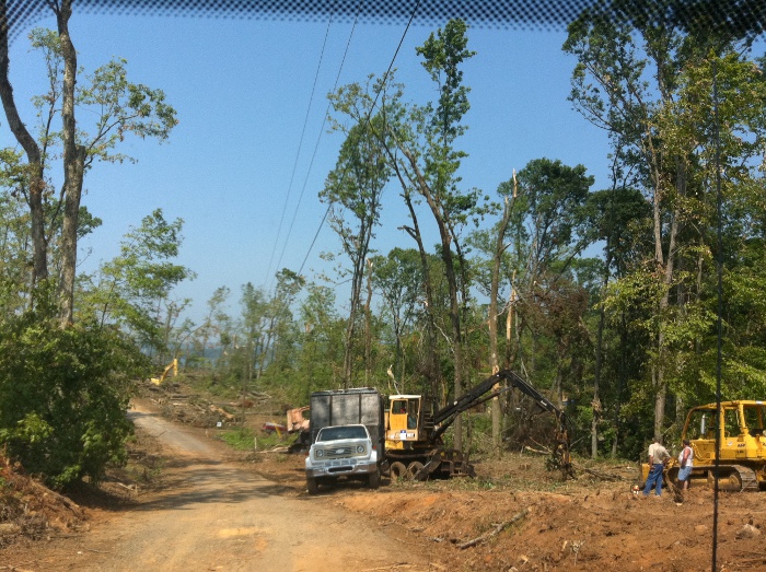
This tornado tracked northeast from Guntersville Lake (near McKee Island) west of Highway 79 across the north end of Buck Island and ended up near Star Point. Sufficient radar and damage survey information supports this additional track crossing the north side of Buck Island. Visible damage was seen to a marina just west of Highway 79 where a canopy collapsed. The tornado then crossed Joe Starnes Field (airport), then snapped/uprooted many trees along Buck Island Road on the north side of Buck Island. The tornado is line with damage that occurred over Star Point, along Milky Way Road, Monsanto Road and Star Point Road. Trees were mostly snapped, twisted and uprooted at this location. Little additional damage was noted northeast of this point, due to the tornado crossing over water at several points along its path. It is challenging to get additional precise location/damage information at this time. |
||||||||||||||||
|
||||||||||||||||
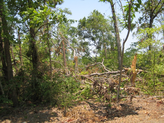
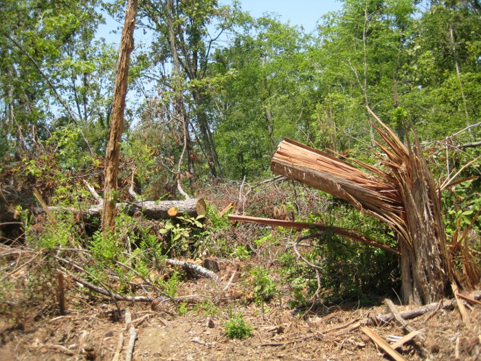
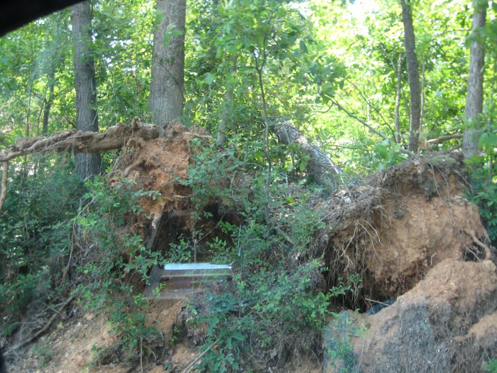
Tornado Damage Photos |
||||||||||||||||
|
||||||||||||||||


 Local Radar
 Weather Map