
Showers and thunderstorms will be possible from the northern Plains to the Gulf Coast on Monday. Thunderstorms with large hail and severe wind gusts are expected Monday afternoon and evening across parts of the central Plains. Read More >
|
||||||||||||||||
|
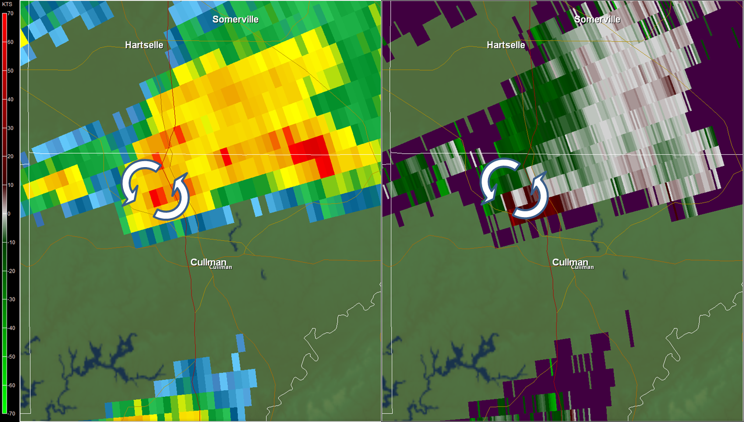
This short-lived tornado touched down nearly 4 miles northeast of West Point and tracked northeast across Interstate 65, just north of the County Road 1282 overpass. Snapped and uprooted trees were seen falling toward the center of the circulation along County Road 1282, with a convergent pattern of damage (mainly smaller trees) noted along County Road 1264, just west of I-65. The damage continued on the east side of I-65 along County Road 1281, where several trees were snapped and uprooted and a house porch was damaged. Little additional damage connected to this tornado was seen northeast of this point along Highway 31.
|
||||||||||||||||
Radar Data
|
||||||||||||||||
|
|


 Local Radar
 Weather Map