
Heavy rainfall capable of causing flash flooding will continue to impact Hawaii through Monday. Severe thunderstorms and heavy rain are possible in parts of Texas and the southern Plains and the Upper Great Lakes. Heavy mountain snow continues in California's Sierra Nevada and rain with gusty winds to lower elevations. Super Typhoon Sinlaku will impact the Marianas through midweek. Read More >
Last Map Update: Wed, Apr 15, 2026 at 5:14:24 am CDT


Current Weather Observations... | |||||||||||||||||||||||||||||||||||||||||||||||||||||||||||||||||||||||||||||||||||||||||||||||||||||||||||||||||||||||||||||||||||||||||||||||||||||||||||||||||||||||||||||||||||||||||||||||||||||||||||||||||||
|
| Select another Date: |


 Local Radar
 Weather Map
 TX Satellite Imagery
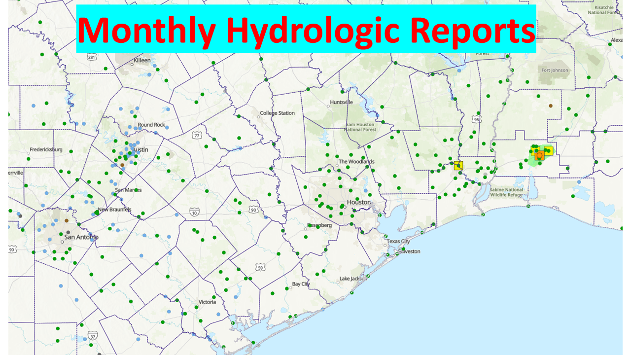 Monthly Hydrologic Reports
 Hurricane Preparedness
 CONUS Satellite Imagery
 Climate Graphs
 Climate Summaries