Tropical Depression Two is expected to gradually strengthen and could bring tropical storm conditions to the Florida Panhandle beginning late Monday. Areas of flash flooding will be possible through Thursday along the eastern and central Gulf Coast. Severe thunderstorms will develop and move along a cold front crossing the Upper Midwest Monday, and through the Ohio Valley/Mid-Atlantic on Tuesday. Read More >
Overview:
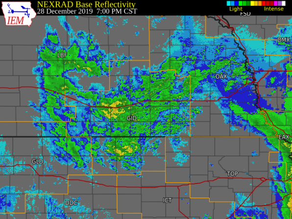
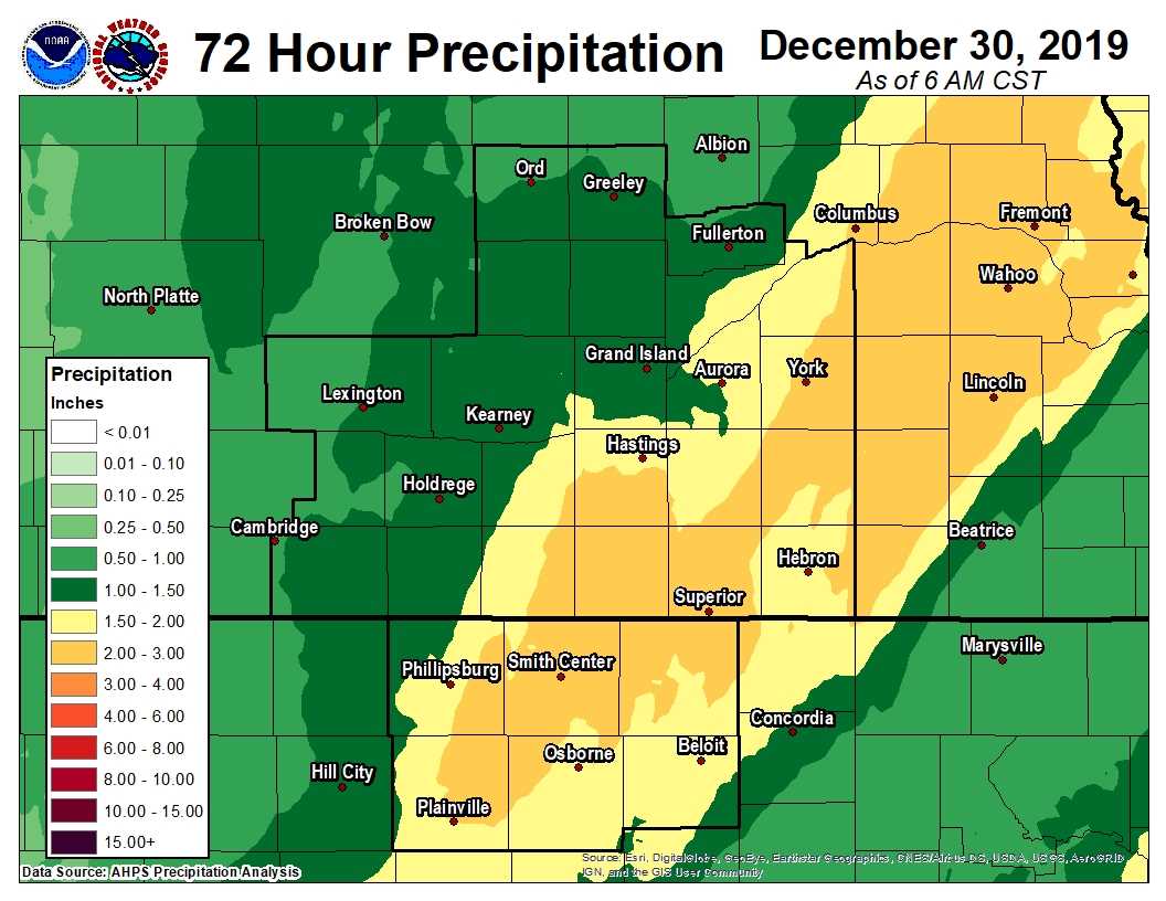
Between the evening of Fri. Dec. 27 and the early-morning of Mon. Dec. 30, a powerful and complex winter storm brought a wide variety of weather to the NWS Hastings coverage area. Most notably, this storm dumped 4-13" of snow within several counties mainly along/north of Highway 6 and along/west of Highway 281, as northwest winds frequently gusting 30-50+ MPH promoted significant blowing/drifting and resultant travel issues. In addition, liquid equivalent precipitation totals (from combined rain+snow) proved quite impressive for late December, with most places receiving at least 1-2". Put another way, some places saw as much precipitation from this one weather system as would "normally" be expected through the entirety of meteorological winter (Dec-Feb)! |
Snowfall:
The image of storm total snow amounts below was compiled from a combination of reports from
NWS Cooperative Observers and the Community Collaborative Rain, Hail & Snow Network (CoCoRaHS)
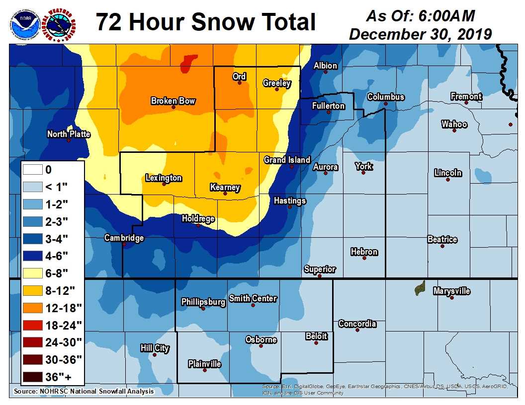 |
| APPROXIMATE Storm Total Snowfall Amounts (Dec. 27-30, 2019) |
The table of storm total snow amounts below was compiled from a combination of reports from
NWS Cooperative Observers (COOP) and the Community Collaborative Rain, Hail & Snow Network (CoCoRaHS)
| Location | Snow Totals |
| 2 W Arcadia | 13.2 |
| North Loup | 13.0 |
| Ord | 12.2 |
| Kearney (airport) | 11.1 |
| Ravenna | 11.0 |
| Loup City | 10.0 |
| Miller | 9.5 |
| Greeley | 7.7 |
| St. Paul | 7.2 |
| Holdrege | 6.0 |
| 2 SW Grand Island | 6.0 |
| 1 W Orleans | 4.3 |
| Wilsonville | 4.0 |
| Cambridge | 4.0 |
| 4 N Hastings (NWS Office) | 3.7 |
| Grand Island (airport) | 3.7 |
| Doniphan | 3.1 |
| Jewell, KS | 3.0 |
| Edison | 3.0 |
| 6 E Phillipsburg, KS | 2.0 |
| Franklin | 1.7 |
| 3 N York | 1.7 |
| 7 NNE Natoma, KS | 1.6 |
| Smith Center, KS | 1.6 |
| Burr Oak, KS | 1.5 |
| Logan, KS | 1.5 |
| Lebanon, KS | 1.2 |
| Beloit, KS | 1.0 |
| Ionia, KS | 0.7 |
| Cawker City, KS | 0.5 |
| 2 NNW Hunter, KS | 0.5 |
| Bradshaw | 0.5 |
| 4 WNW Plainville, KS | 0.4 |
| 6 ESE Clay Center | 0.4 |
| Superior | 0.4 |
| Hebron | 0.2 |
Liquid Equivalent Precipitation Totals:
The image of storm total snow amounts below was compiled from a combination of reports from
NWS Cooperative Observers and the Community Collaborative Rain, Hail & Snow Network (CoCoRaHS)
 |
| APPROXIMATE Storm Total Liquid Equivalent (Dec. 27-30, 2019) |
The table of storm total snow amounts below was compiled from a combination of reports from
NWS Cooperative Observers (COOP) and the Community Collaborative Rain, Hail & Snow Network (CoCoRaHS)
| Location | Liquid Totals |
| 7 NW Lebanon, KS | 2.78 |
| Plainville, KS | 2.34 |
| Lebanon, KS | 2.19 |
| Beloit, KS | 2.17 |
| 2 S Hastings | 2.12 |
| 4 WNW Plainville | 2.10 |
| Smith Center, KS | 2.01 |
| 3 NE Shelby | 1.87 |
| Kearney (airport) | 1.85 |
| Burr Oak, KS | 1.82 |
| Nelson | 1.81 |
| Jewell, KS | 1.81 |
| Hebron | 1.81 |
| Cawker City, KS | 1.79 |
| 6 E Phillipsburg, KS | 1.79 |
| St. Paul | 1.78 |
| 2 W Arcadia | 1.78 |
| 7 NNE Natoma, KS | 1.77 |
| Ionia, KS | 1.76 |
| 1 NNE Osborne, KS | 1.73 |
| Hastings (official NWS total) | 1.71 |
| Franklin | 1.68 |
| 3 N York | 1.68 |
| Doniphan | 1.66 |
| Osceola | 1.63 |
| 6 ESE Clay Center | 1.62 |
| Bradshaw | 1.57 |
| Superior | 1.55 |
| 10 WNW Stockton, KS | 1.48 |
| Ravenna | 1.43 |
| Grand Island (airport) | 1.42 |
| Ord | 1.34 |
| Loup City | 1.32 |
| Clay Center | 1.32 |
| Logan, KS | 1.15 |
| 1 W Orleans | 1.10 |
| Wilsonville | 1.05 |
| Miller | 0.99 |
| Greeley | 0.97 |
| Cambridge | 0.87 |
| Edison | 0.83 |
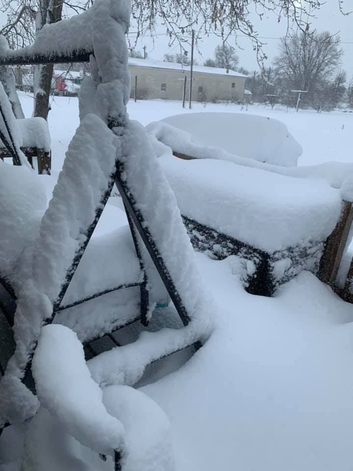
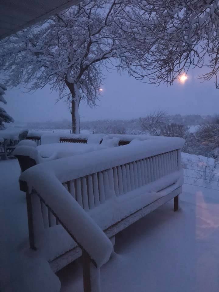
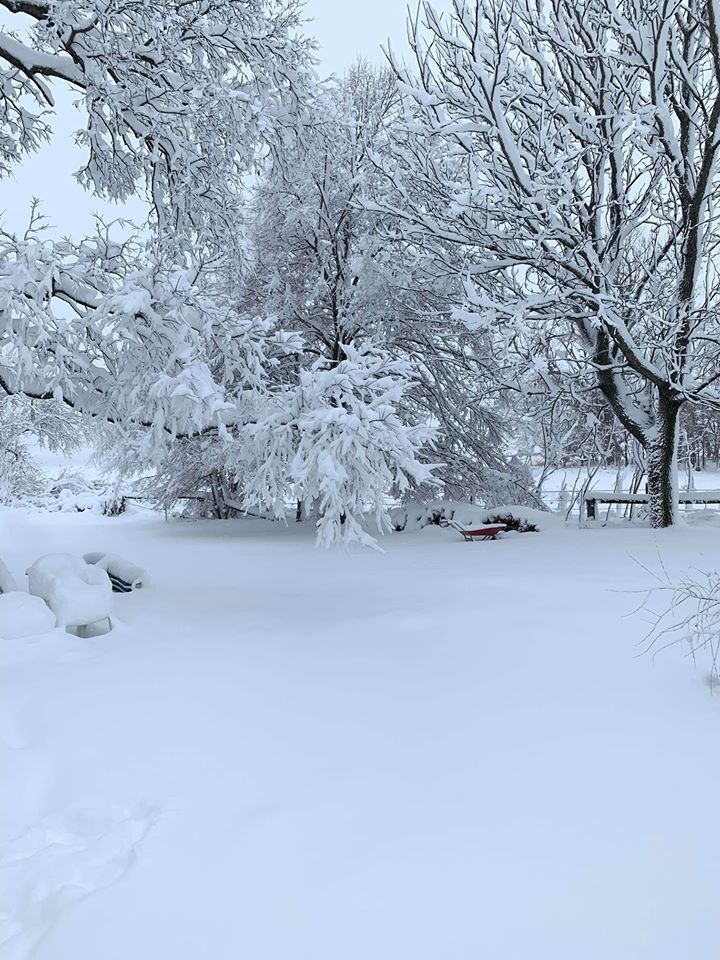
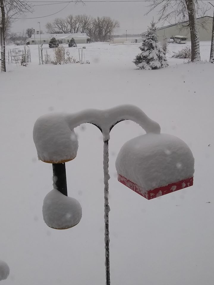
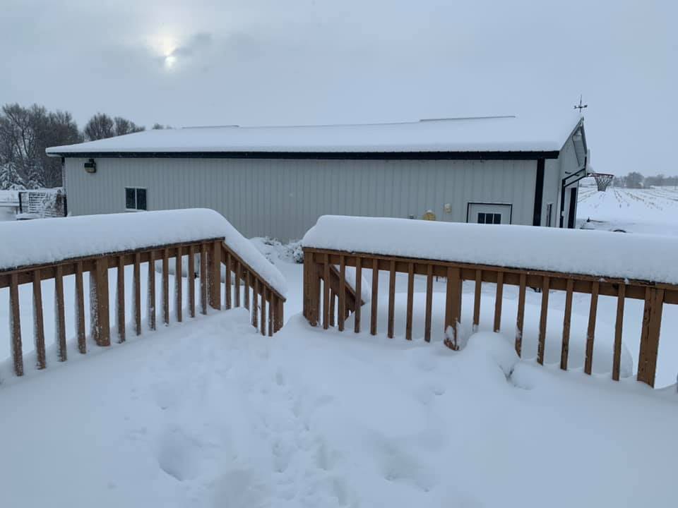
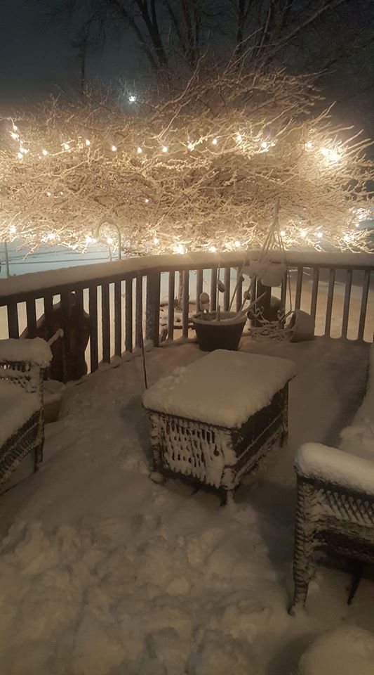
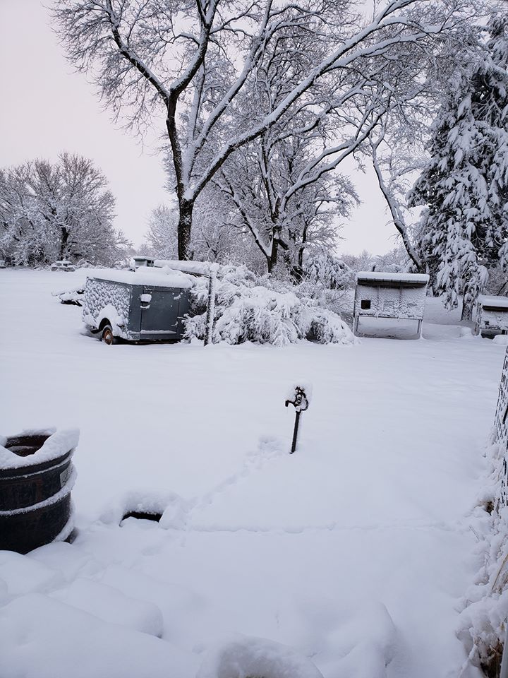
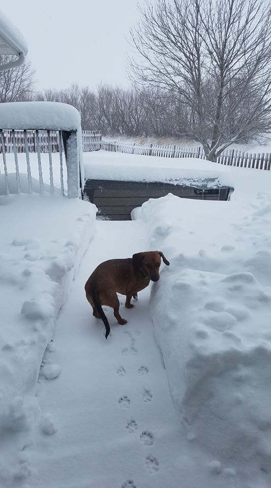
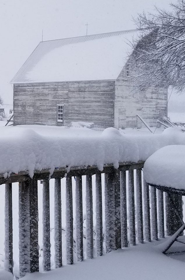
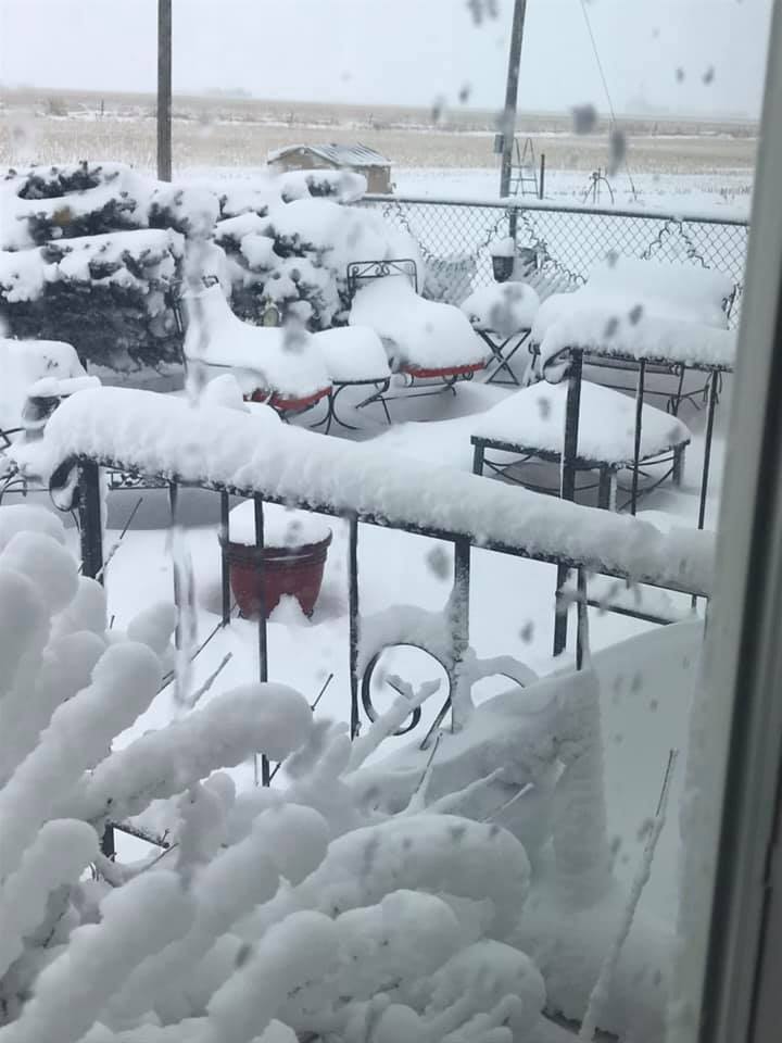
Photos:
 |
 |
 |
 |
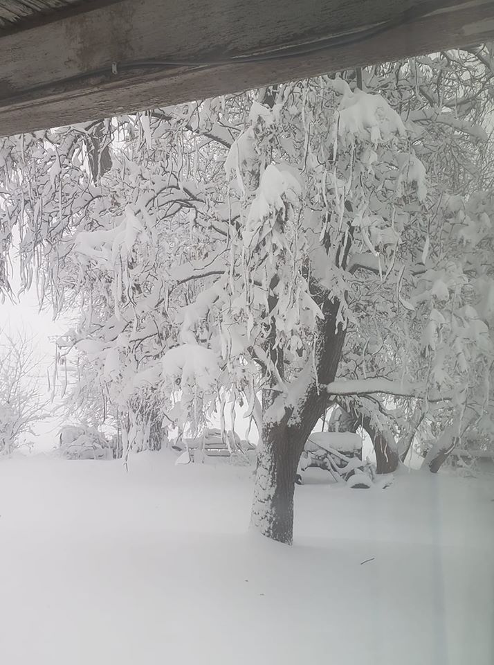
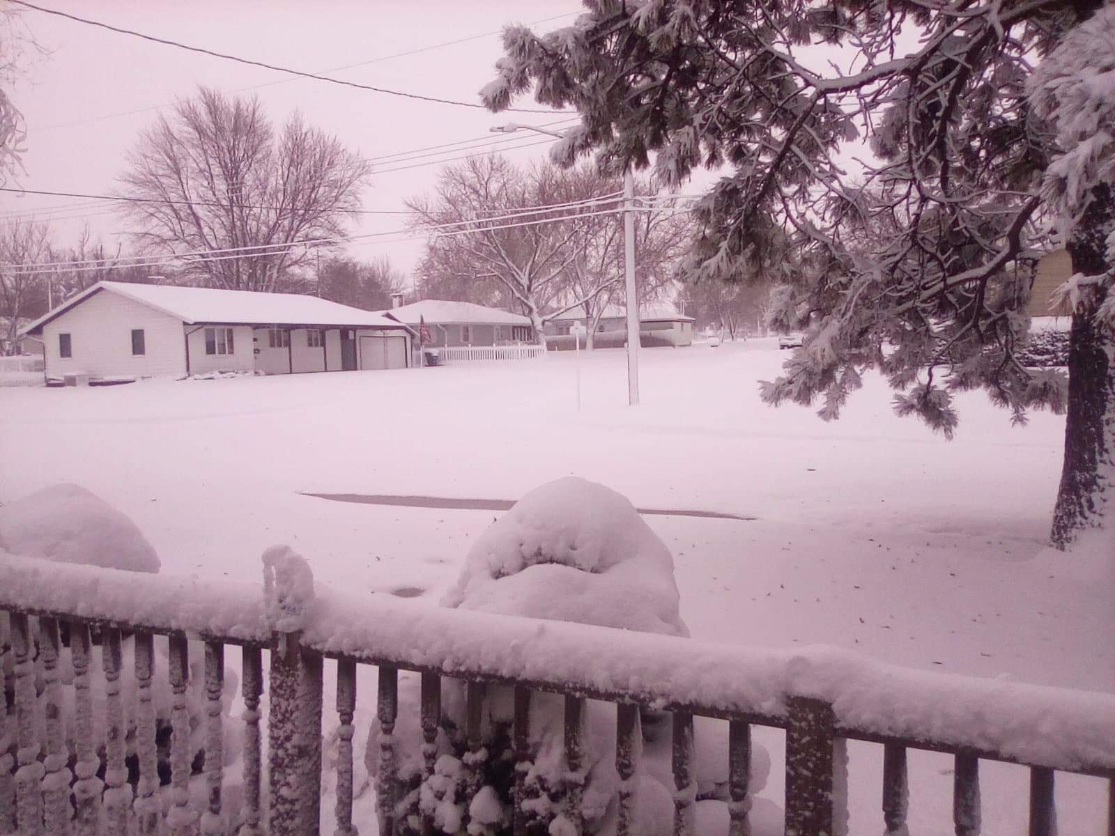
| Near Boelus Photo by Paula Krance Rathman. |
Near Cairo Photo by Toni Durby. |
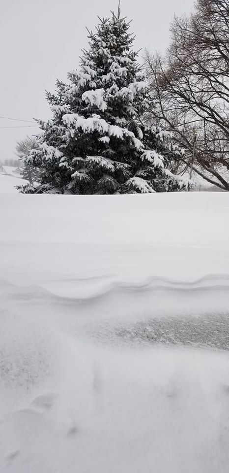
Near Elm Creek Photo by Brandon Devroy. |
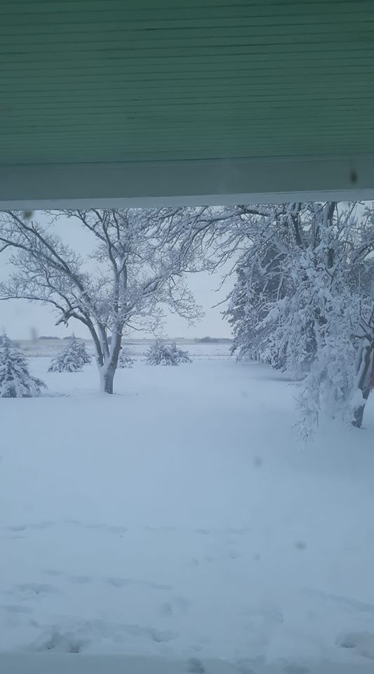
Near Grand Island Photo by Kent Hollman. |
 |
 |
 |
 |
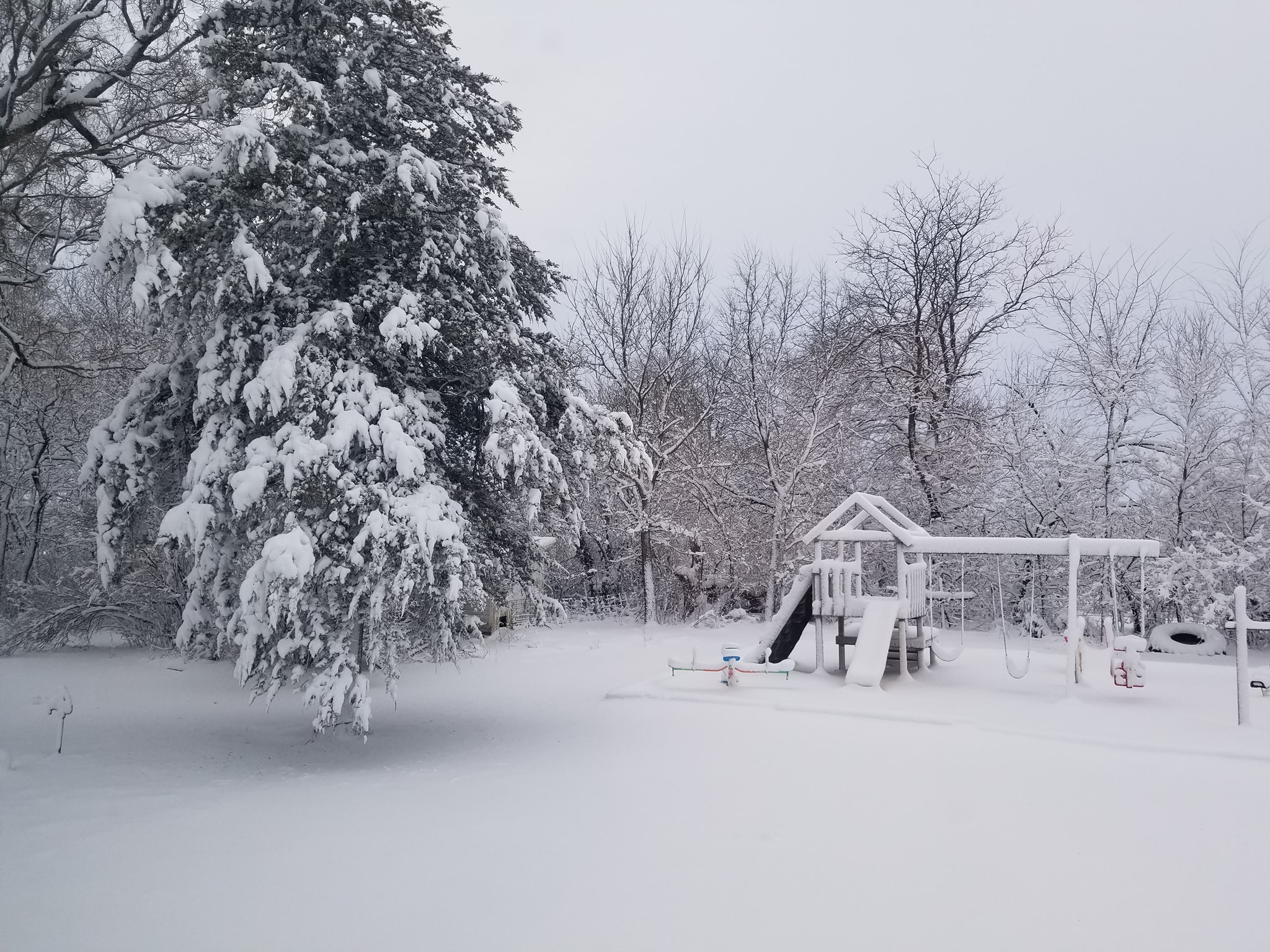
| 4 W Cairo Photo by Melissa Grabowski. |
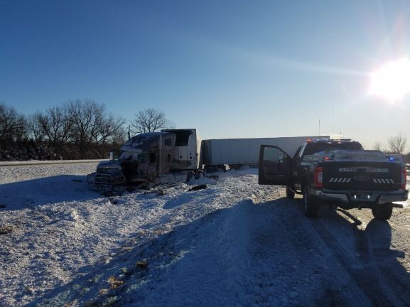
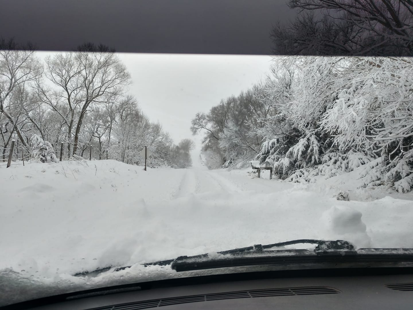
I-80 Near Cozad Photo by NE State Patrol. |
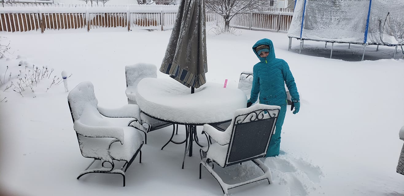
Kearney Photo by Heather Brummels. |
Near Kearney Photo by Kent McConnell |
 |
 |
 |
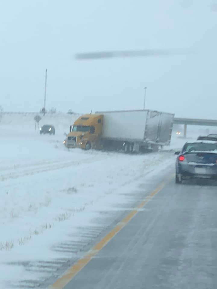 |
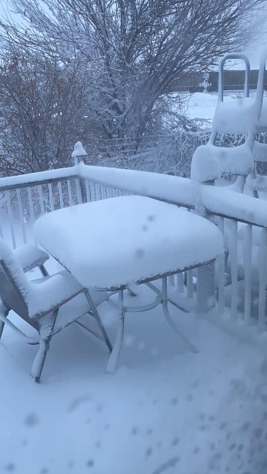
| Hastings Photo by Jane Marie. |
Hastings Photo by Michelle Musgrave. |
Near Heartwell Photo by Sherry Reichstein. |
I-80 Near Kearney Photo by Russel Psota. |
 |
 |
 |
 |
| Near Kearney Photo by Sheila Pickrel. |
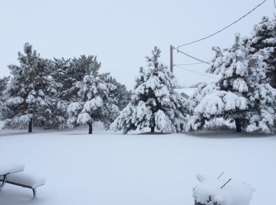
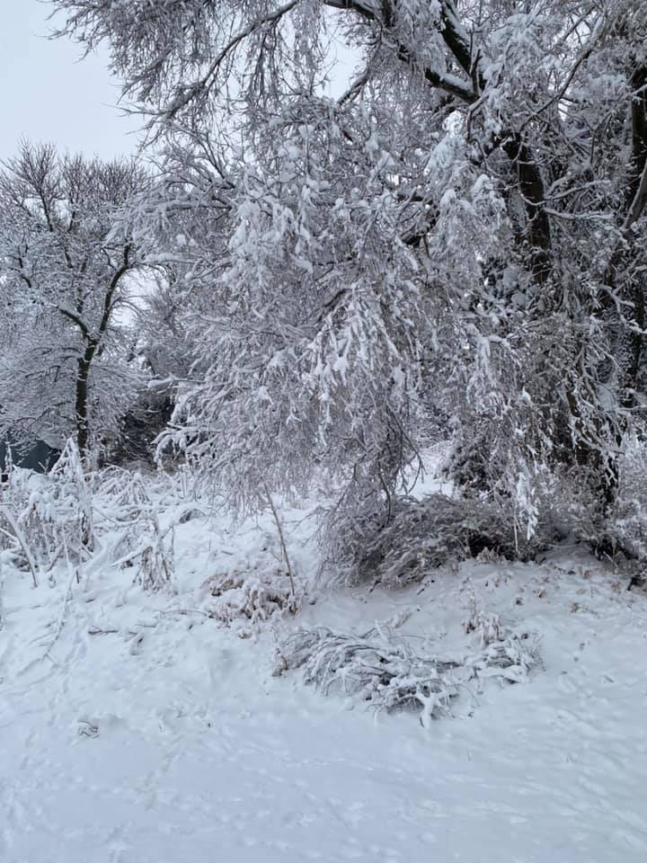
Near Loup City Photo by Charlsie Norseen. |
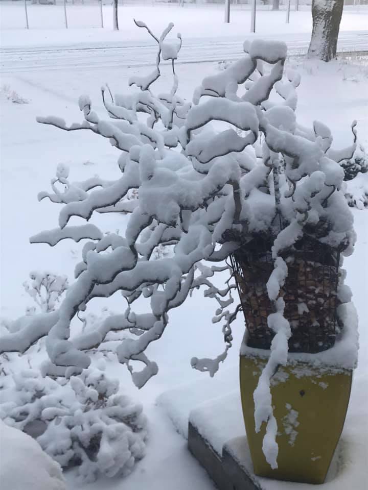
Near Ord Photo by Rebecca Howard. |
Near Upland Photo by Gloria Hain. |
 |
 |
 |
| Near Minden Photo by Derek Ingram. |
Minden Photo by Court Webber. |
Near Wolbach Photo by Abe Klassen. |
 |
 |
 |
 |
| Near Overton Photo by Audrey Riebschlager. |
Near Scotia Photo by Cilinda Meyer-Scheideler. |
Near Shelton Photo by Cindy Van Meter Walker. |
Near Wood River Photo by Michelle Hayden Wiseman. |
 |
Media use of NWS Web News Stories is encouraged! Please acknowledge the NWS as the source of any news information accessed from this site. |
|