Fort Worth/Dallas, TX
Weather Forecast Office
|
|
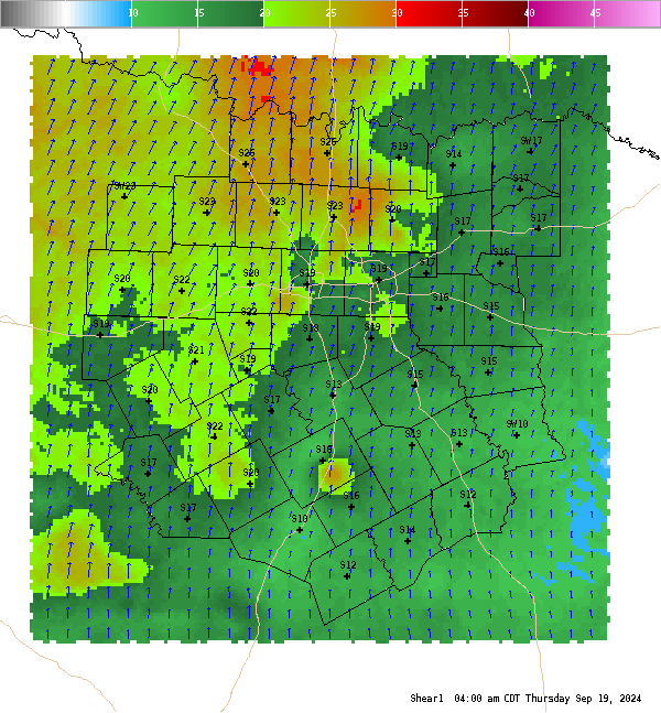
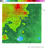
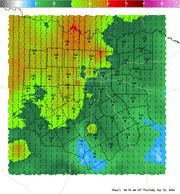
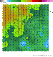
4 Panel Display | Animated Loop Shear (0-1km) Surface-1-km Vertical Shear is the difference between the surface wind and the wind at 1-km above ground level. These data are plotted as vectors with shear magnitudes contoured. 0-1-km shear magnitudes greater than 15-20 knots tend to favor supercell tornadoes. |
Current Hazards
National Outlooks
Tropical
Local Storm Reports
Storm Reports (Graphical)
Submit Storm Report
Tornado Warnings
Severe Thunderstorm Warnings
Flash Flood Warnings
Forecasts
Forecast Discussion
Graphical Forecast
Aviation Forecasts
Fire Weather
Hazard Planner
N. Texas Convective Parameters
US Dept of Commerce
National Oceanic and Atmospheric Administration
National Weather Service
Fort Worth/Dallas, TX
3401 Northern Cross Blvd.
Fort Worth, TX 76137
817.429.2631
Comments? Questions? Please Contact Us.