Late Sunday afternoon around 6 pm, the stage on the Little Sioux River at Cherokee, Iowa reached a record 27.30 feet. This eclipsed the former record of 27.20 feet which occurred on April 7, 1965. In comparison, the former record was a snowmelt flood, while the current levels are a result of heavy convective rainfall from Saturday evening and overnight which brought a widespread 4 to 8 inches rainfall to most of Cherokee county. The former record high stage which resulted from heavy convective rainfall was from July 18, 1993, when the river reached a stage of 27.08 feet.
Cherokee County Emergency Management estimated early Sunday evening that around 200 homes were impacted by the high water, and the city of Cherokee was accessible only from the north and west directions.
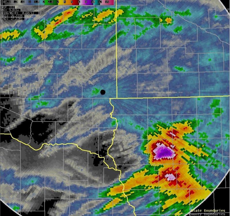
Storm Total Rainfall from Saturday/Saturday Night
The image above represents radar estimated storm total precipitation through Sunday morning, June 27th. Though radar estimates may be a little high across Highway 14 in southeastern South Dakota and northwest Iowa due to hail contamination, an estimated five to eight inches of rainfall fell across a large portion of Cherokee and Ida counties in northwest Iowa Saturday night. The table below lists 24 hour precipitation totals received on the morning of June 27th.
| Location | Amount (in) |
| Cherokee, IA | 6.33 |
| Cherokee, IA | 6.15 |
| Peterson, IA | 4.07 |
| Holstein, IA | 2.69 |
| 2 SSE Astoria | 2.33 |
| Marshall, MN Airport | 2.09 |
| Hartford | 2.05 |
| 6 S Hartford | 2.03 |
| Holly Springs, IA | 2.03 |
| Marshall, MN COOP | 2.00 |
| 4 WNW Sioux Falls | 1.90 |
| 7 WSW Garretson | 1.89 |
| SSW Brookings | 1.81 |
| Huron COOP | 1.81 |
| 3 SSW Brookings | 1.79 |
| Carthage | 1.78 |
| Slayton, MN | 1.78 |
| Brandon, SD | 1.75 |
| Sioux Falls NWS | 1.72 |
| Astoria | 1.71 |
| Lake Benton, MN | 1.70 |
| Rock Valley, IA | 1.60 |
| Brookings | 1.60 |
| Eros Data Center | 1.52 |
| 3 WSW Sioux Falls | 1.44 |
| Windom, MN | 1.44 |
| Spencer, IA | 1.37 |
| Ocheyedan, IA | 1.36 |
| Heron Lake, MN | 1.27 |
| Huron | 1.27 |
| WSW Everly, IA | 1.22 |
| Everly, IA | 1.20 |
| Luverne, MN | 1.16 |
| Tracy, MN | 1.12 |
| Lakefield, MN | 1.04 |
| Jackson, MN Airport | 1.03 |
| Sheldon, IA COOP | 1.03 |
| Pipestone, MN COOP | 1.00 |
| Sibley, IA COOP | 1.00 |
| Worthington, MN Airport | 0.97 |


 Weather Story
 Weather Map
 Local Radar