Overview
|
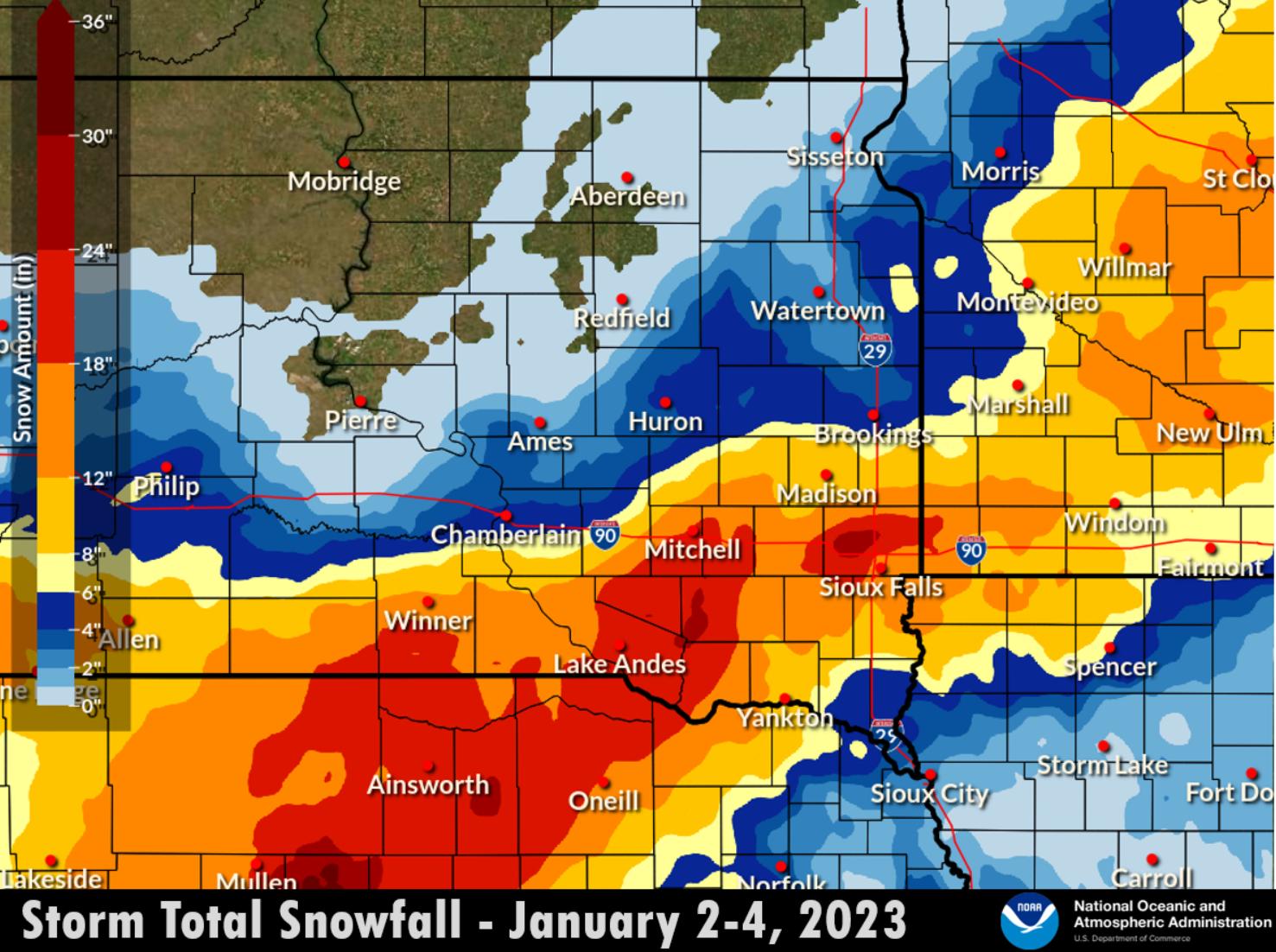
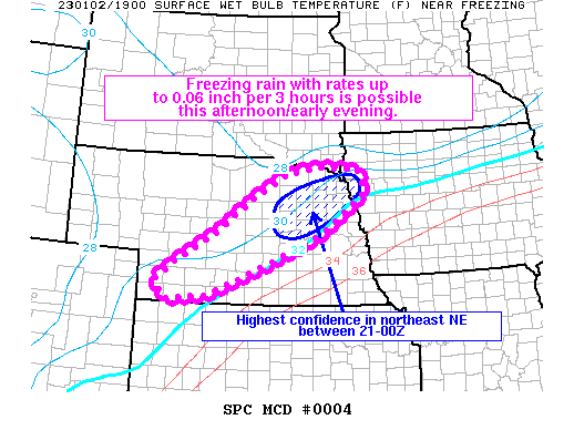
A major winter storm moved through the Northern United States from January 2nd to January 3rd, 2023. This winter storm brought record snow to some locations, with upwards of 27 inches reported in portions of south central South Dakota, northeast into western Minnesota. Thundersnow was reported at the peak of the storm early on the morning of the 3rd, producing snow rates as high as 2 to 3 inches per hour within a narrow band from central Nebraska into Southwest Minnesota. Warmer air on the southeast side of the system limited snow accumulations in northwest and west central Iowa, but produced rain, freezing rain, and sleet with generally minor impacts. This multi-day storm produced record snowfall in many locations, and has pushed the seasonal snowfall totals in city such as Sioux Falls, towards the top of the historical records. |
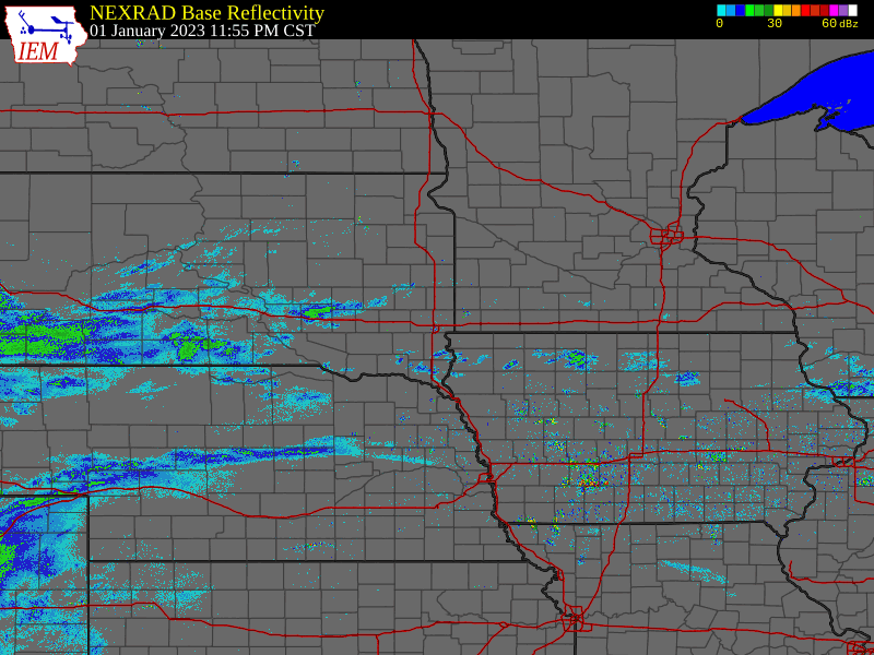 Regional Radar Loop January 2-3, 2023 |
Storm Reports
 |
||||||||||||||||||||||||||||||||||||||||||||||||||||||||||||||||||||||||||||||||||||||||||||||||||||||||||||||||||||||
|
Photos
 |
 |
 |
 |
|
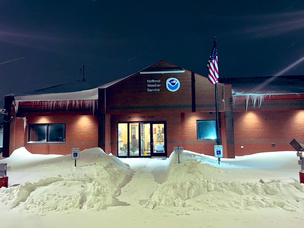
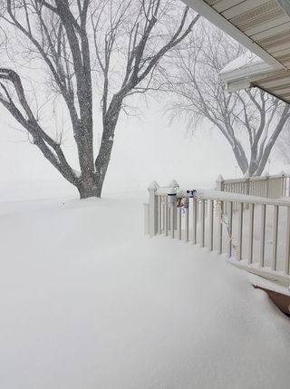
| NWS Sioux Falls At Night (Credit: Matthew Dux) |
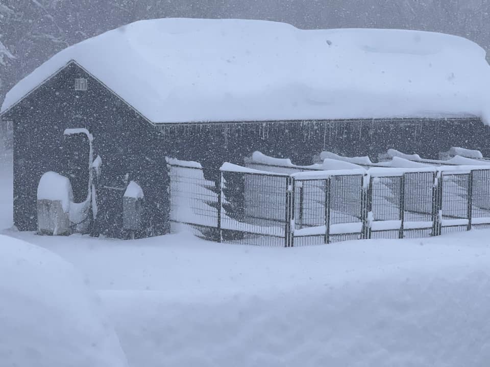
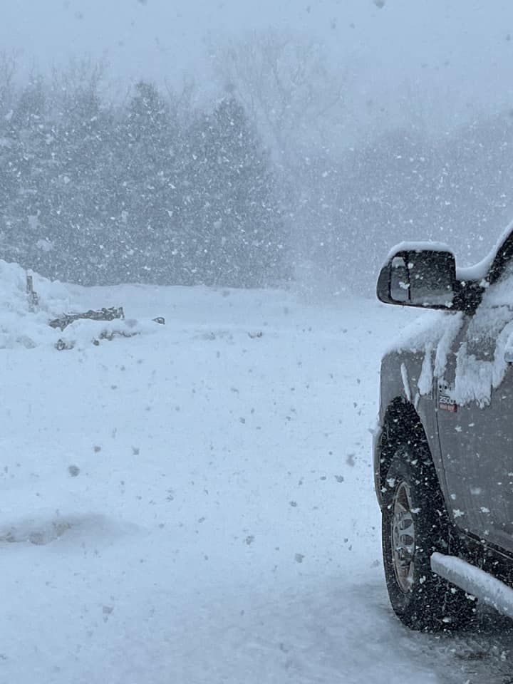
Ethan, SD (Credit: Kim Goldammer) |
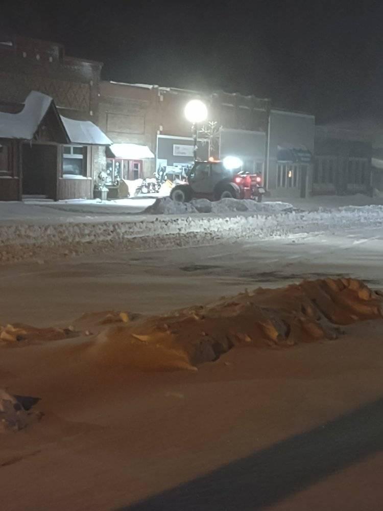
Downtown Sioux Falls (Credit: Dani Rae) |
Corsica (Credit: Austin Luebke) |
|
 |
 |
 |
 |
|
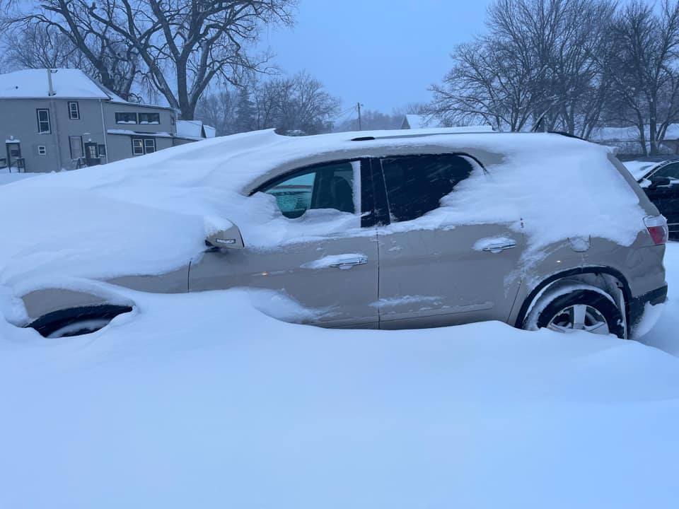
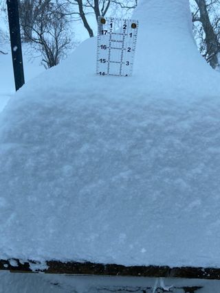
| Mitchell, SD (Credit: Jacki Austerman) |
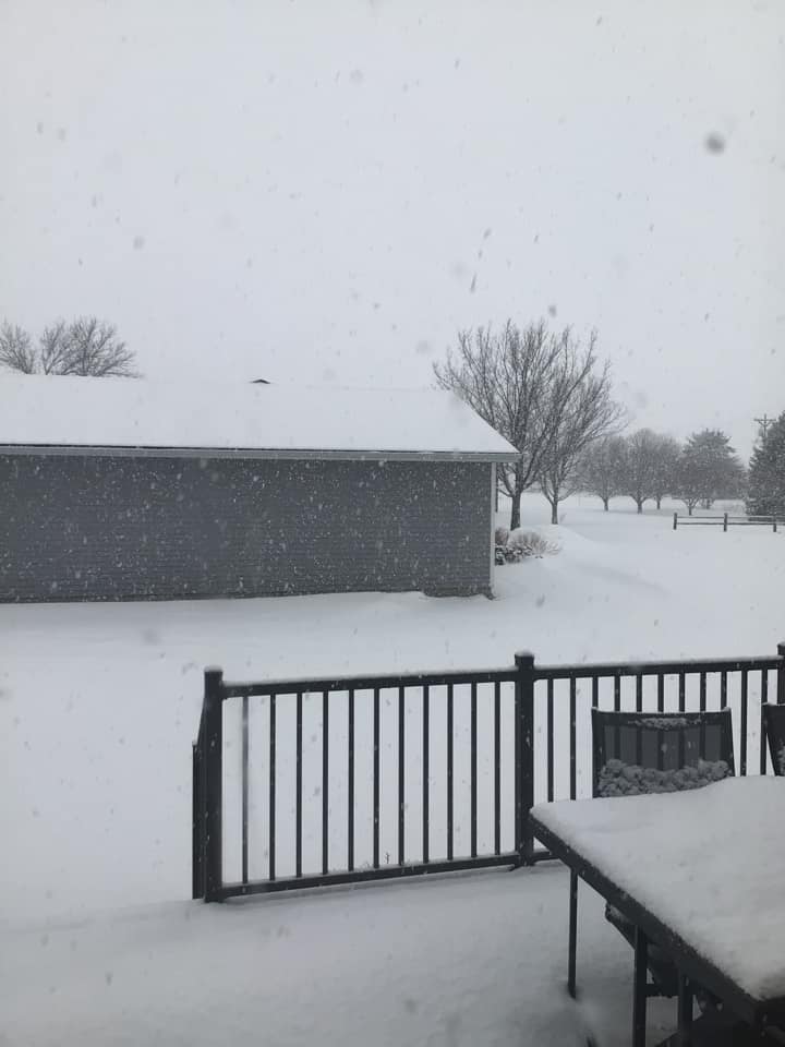
Sioux Falls, SD (Credit: Shelly Buseman) |
Tyler, MN (Credit: Nancy Jane Huehl) |
Colton, SD (Credit: Pam Owen) |
|
 |
 |
 |
 |
|
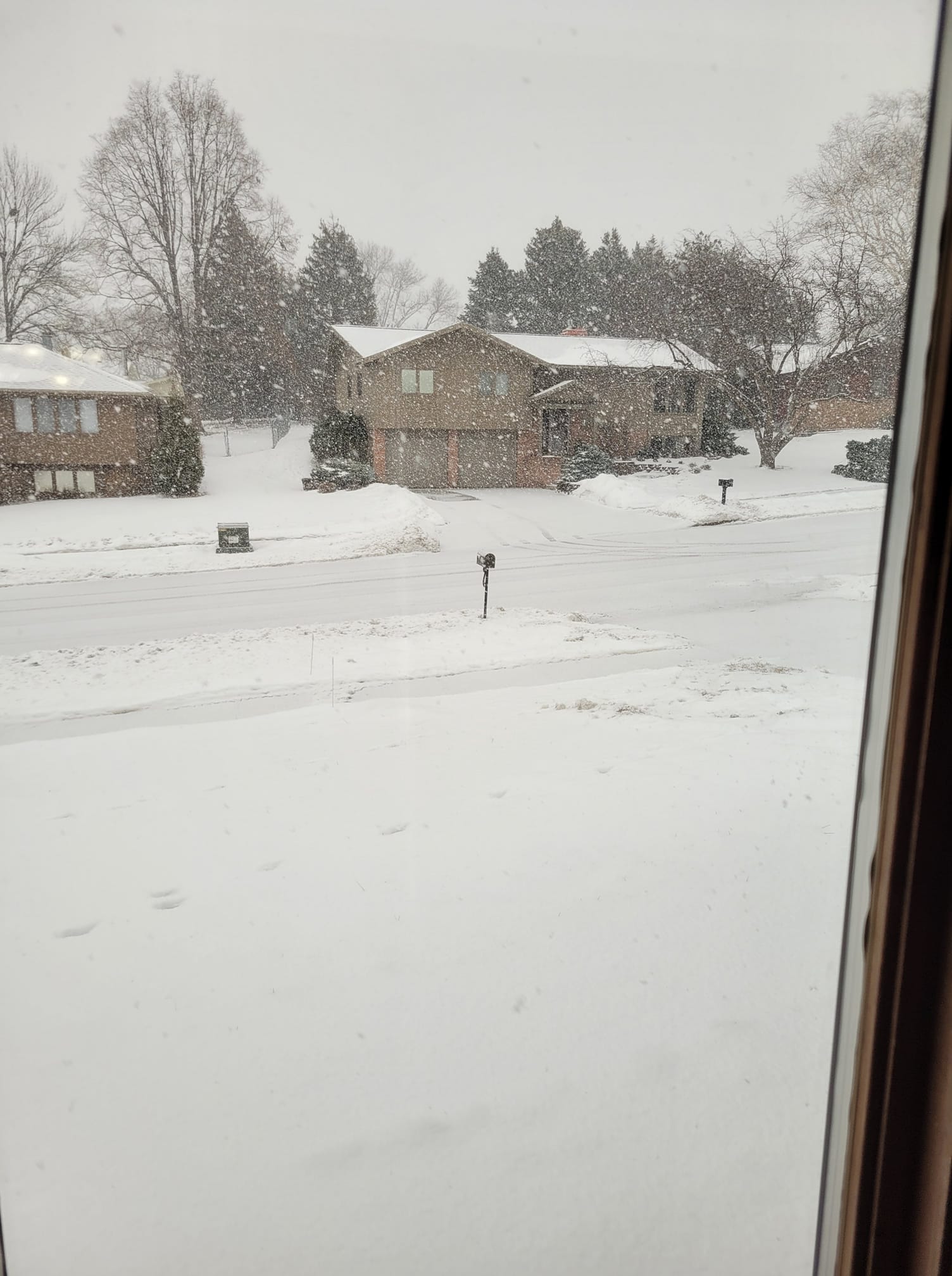
| Menno, SD (Credit: David Bender) |
Leota, MN (Credit: Autumn Bleyenberg) |
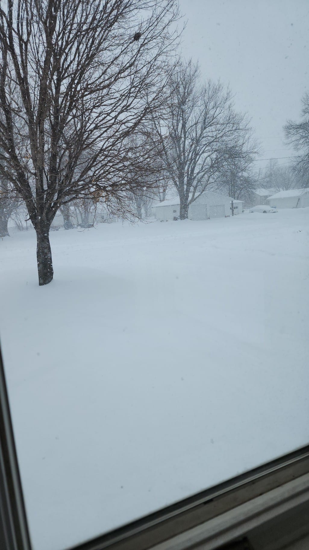
Larchwood, IA (Credit: Kyle Bleeker) |
near Terrill, IA (Dickinson County EM) |
|
 |
 |
 |
 |
|
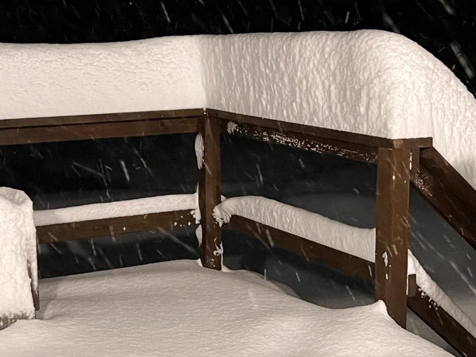
| Hardwick, MN (Credit: Mandi Peterson) |
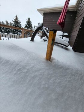
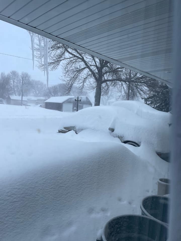
Ethan, SD (Credit: Kim Goldammer) |
Yankton, SD (Credit: Phyllis Naber) |
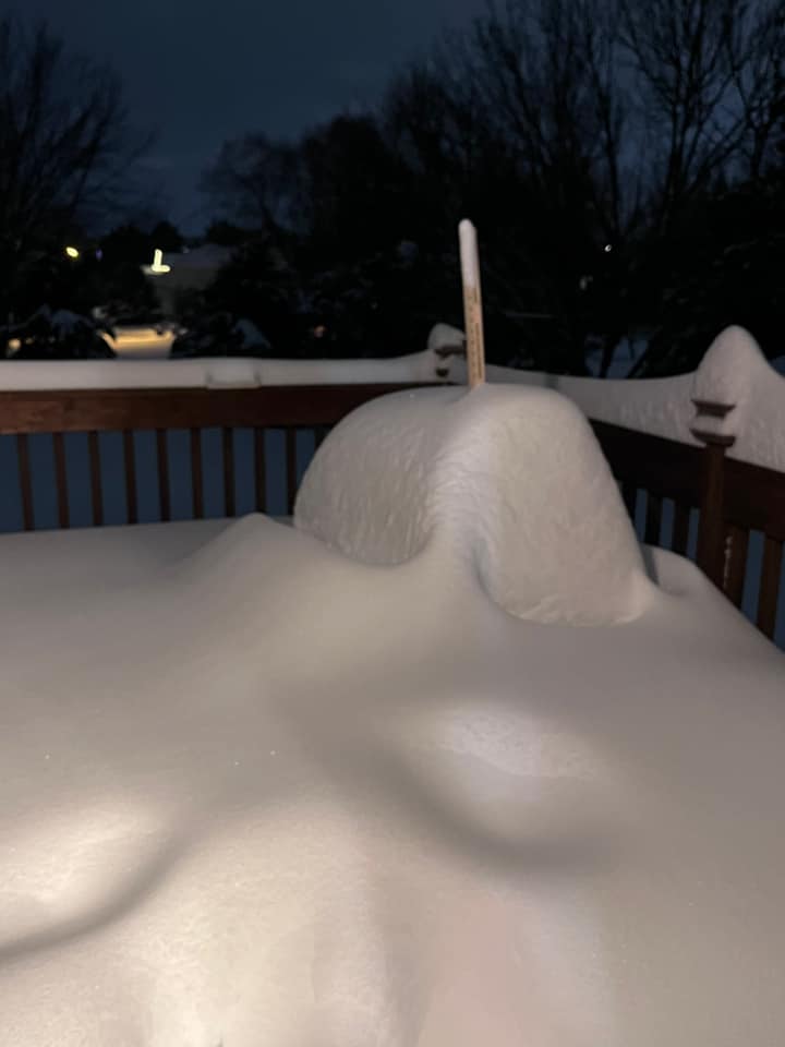
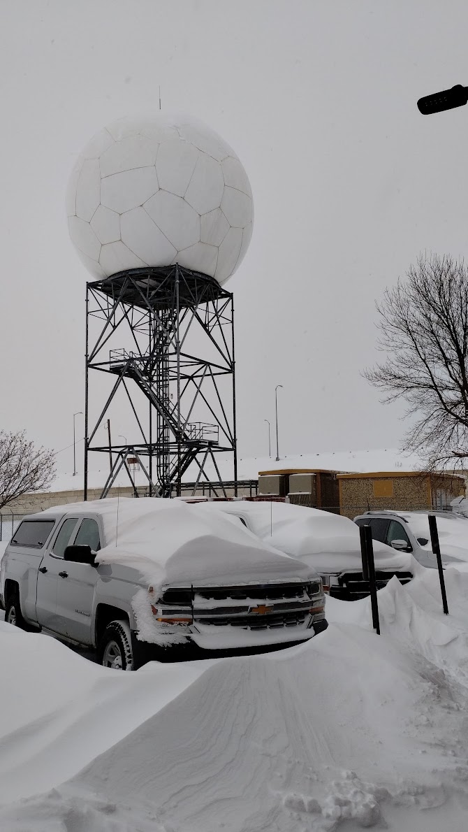
Drifts at NWS Sioux Falls office |
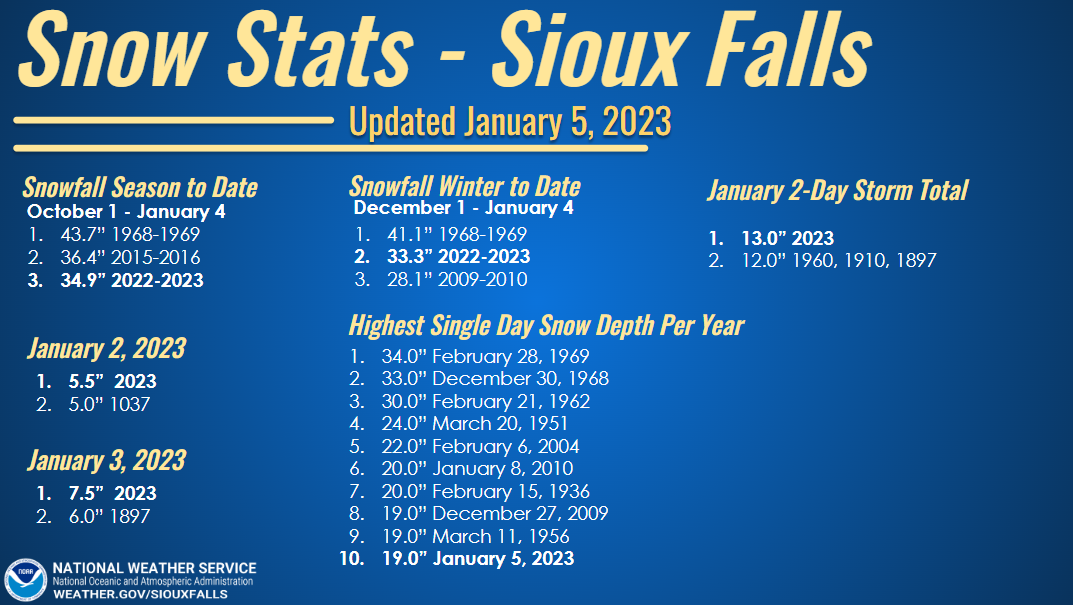
Records
Here's a look snowfall records that were broken at Mitchell and Sioux Falls.
 |
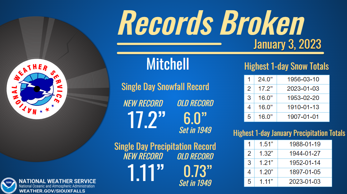 |
| Snowfall Records Broken at Sioux Falls | Further Detail on Mitchell Records |
Radar & Satellite
| Satellite and Lightning Data from CIMMS | |
| Frontal Snow Band - January 2, 2023 | Heavy Snow and Convection Arrives - January 3, 2023 |
 |
 |
 |
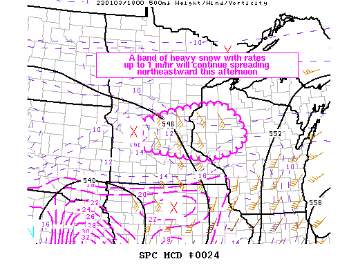 |
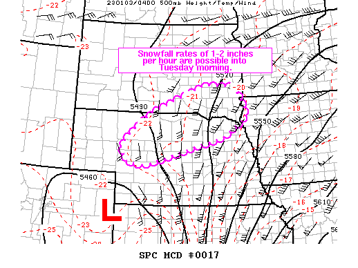
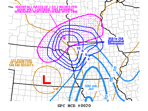
| Mesoscale Discussion 4 | Mesoscale Discussion 17 | Mesoscale Discussion 20 | Mesoscale Discussion 24 |
 |
 |
 |
|
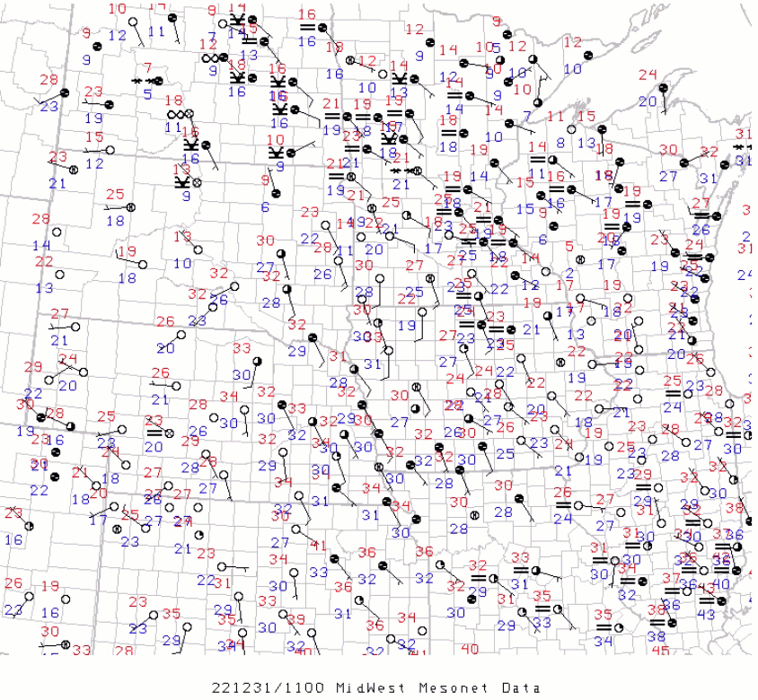
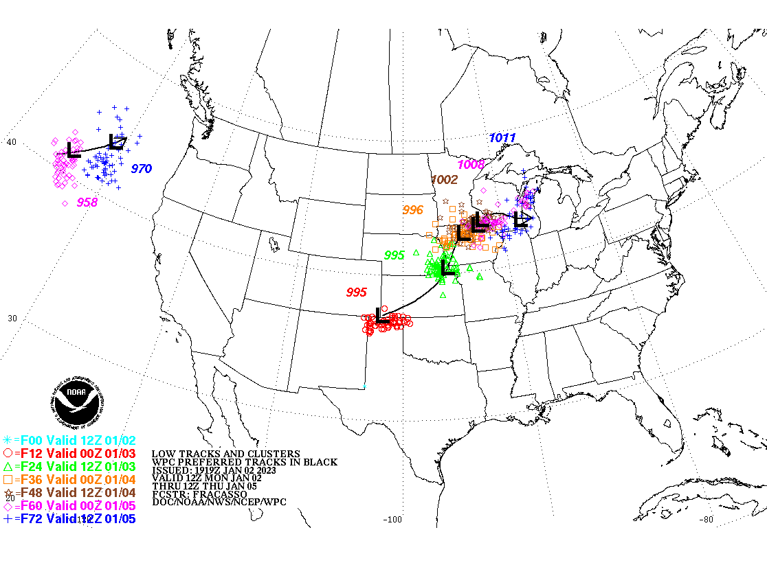
| Watch Warning Map Progression | Surface Observation Loop | Low Tracks |
 |
Media use of NWS Web News Stories is encouraged! Please acknowledge the NWS as the source of any news information accessed from this site. |
|


 Weather Story
 Weather Map
 Local Radar