Sioux Falls, SD
Weather Forecast Office
Overview
|
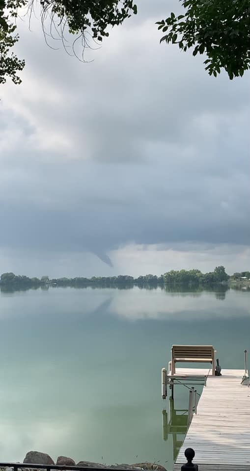
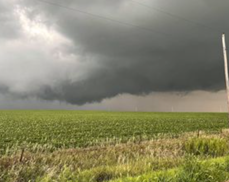
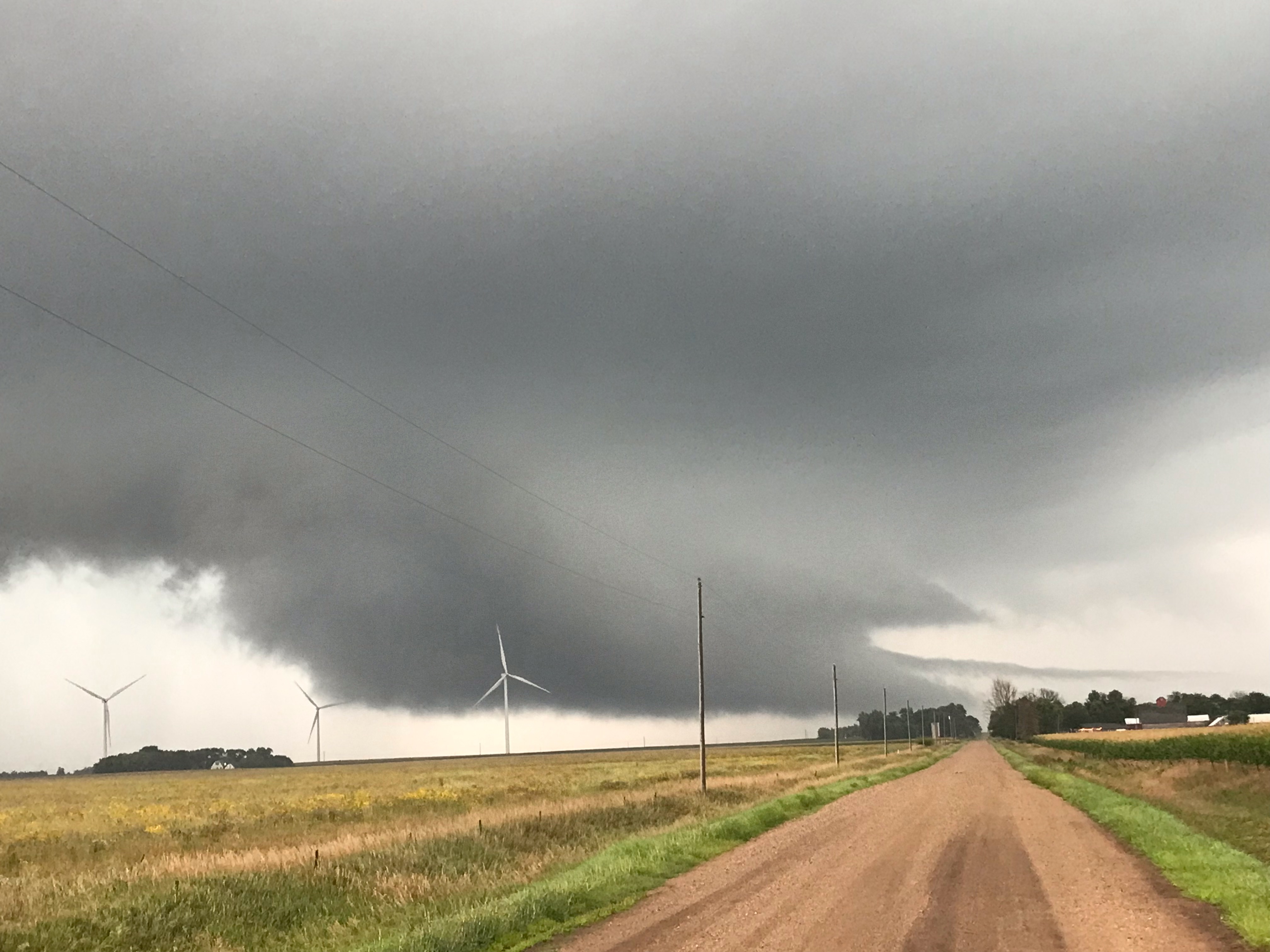
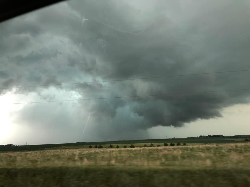
A lone storm cluster moved southeast through far southwest Minnesota and into northwest Iowa Sunday afternoon and evening August 8th, 2021. Along its path, multiple reports of rotating wall clouds and funnel clouds were received. Additionally, at least a couple of brief tornadoes occurred in the Sioux Falls and Des Moines NWS coverage area. |
|
Photos & Video
 |
 |
 |
 |
| Near Cottonwood, MN (Cheryl Geihl) |
SE of Sioux Rapids, IA (Jonathon Gastelum) |
Near Spencer, IA (Ryan Kabrick) |
Southeast of Ocheyedan, IA (Debra Hout) |
Radar
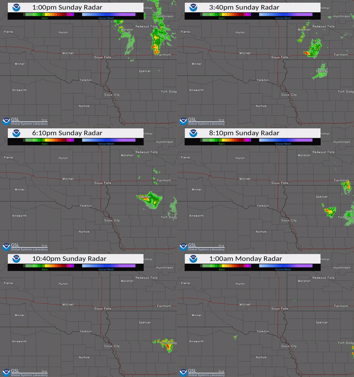 |
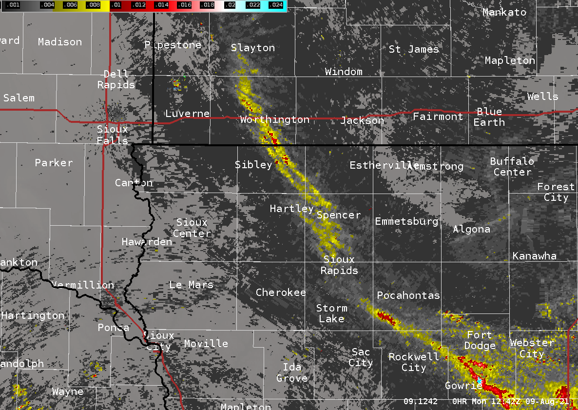 |
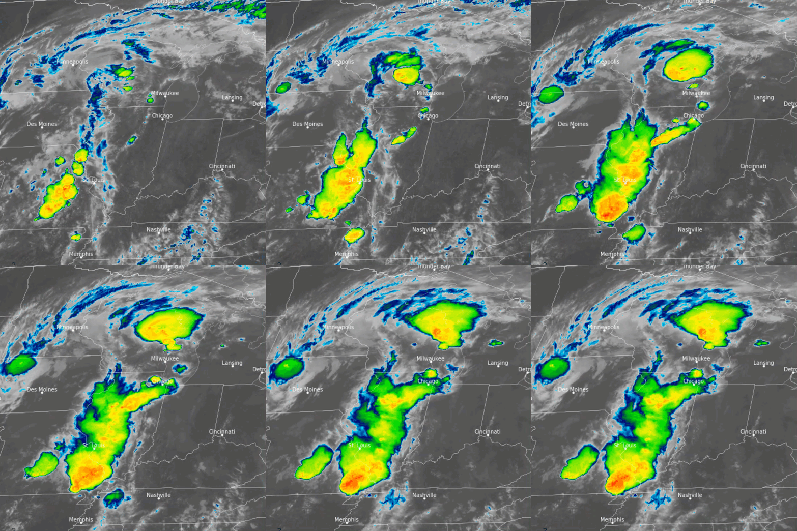 |
|
| Radar Loop Sunday Afternoon and Evening | MRMS Low Level Rotation Tracks | IR Satellite Imagery |
 |
Media use of NWS Web News Stories is encouraged! Please acknowledge the NWS as the source of any news information accessed from this site. |
 |
Popular Pages
Past Weather Events
Regional Weather Roundup
Daily Temp/Precip
Hazardous Weather
Local Climate Archives
Climate Graphs and Data
Seasonal
EvapoTranspiration
Fire Weather
Grassland Fire Danger
Flooding (River)
Summer Weather
Travel Forecasts
Winter Weather
Winter Preparedness
Forecast Snowfall Graphic
Winter Temp Climatology
US Dept of Commerce
National Oceanic and Atmospheric Administration
National Weather Service
Sioux Falls, SD
26 Weather Lane
Sioux Falls, SD 57104-0198
605-330-4247
Comments? Questions? Please Contact Us.


 Weather Story
 Weather Map
 Local Radar