Overview
Scattered thunderstorms developed in the late afternoon and evening across southeastern South Dakota, southwestern Minnesota and northwestern Iowa. One area of storms extend from near Huron to Tyndall in South Dakota. These storms produced up to quarter size hail as well as a tornado near Vilas, South Dakota. The second area of storms was located Jackson, Minnesota to Storm Lake, Iowa. Several reports of dime to golf ball size hail were reported.
 |
 |
 |
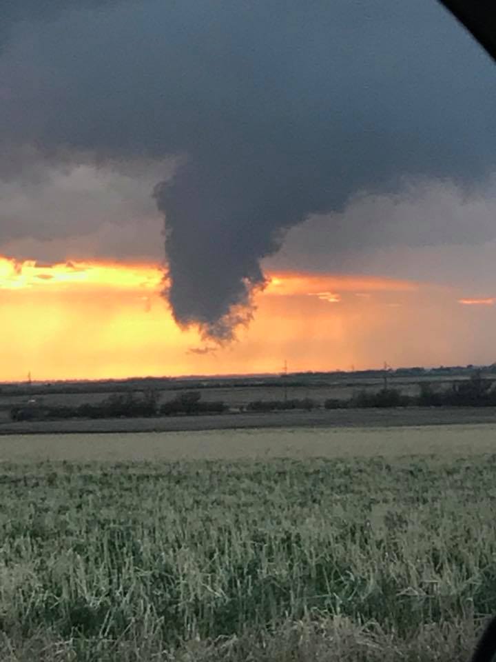
| Picture of the funnel cloud northwest of Vilas, South Dakota. Photo by Brittany Lunstra. |
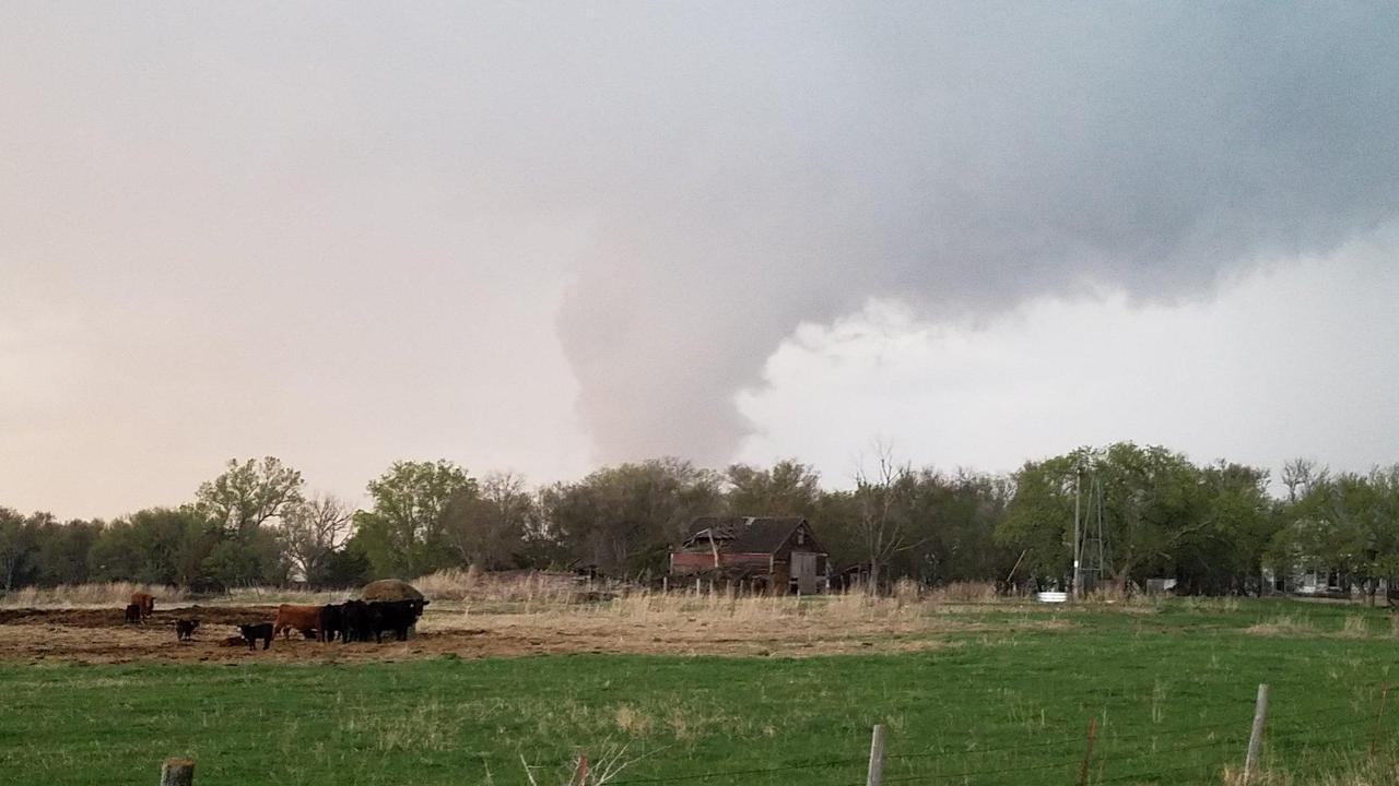
Photo of the tornado northwest of Vilas, SD taken around 8:20 pm CDT. Photo by Jeffrey Hayden of Rogue Storm Chasers. |
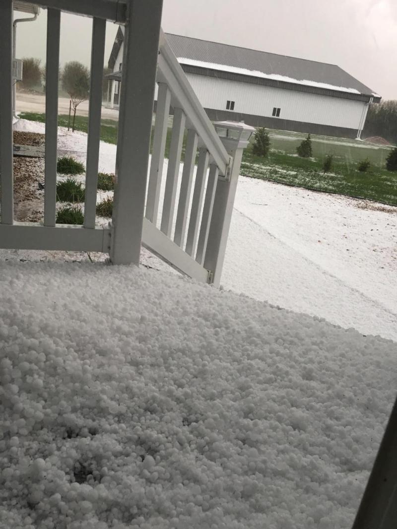
Hail covers the ground 4 miles south of Carthage, South Dakota. Photo by Mary Henkel |
Tornadoes:
|
Tornado - Vilas, South Dakota
Location of tornado near Vilas, SD 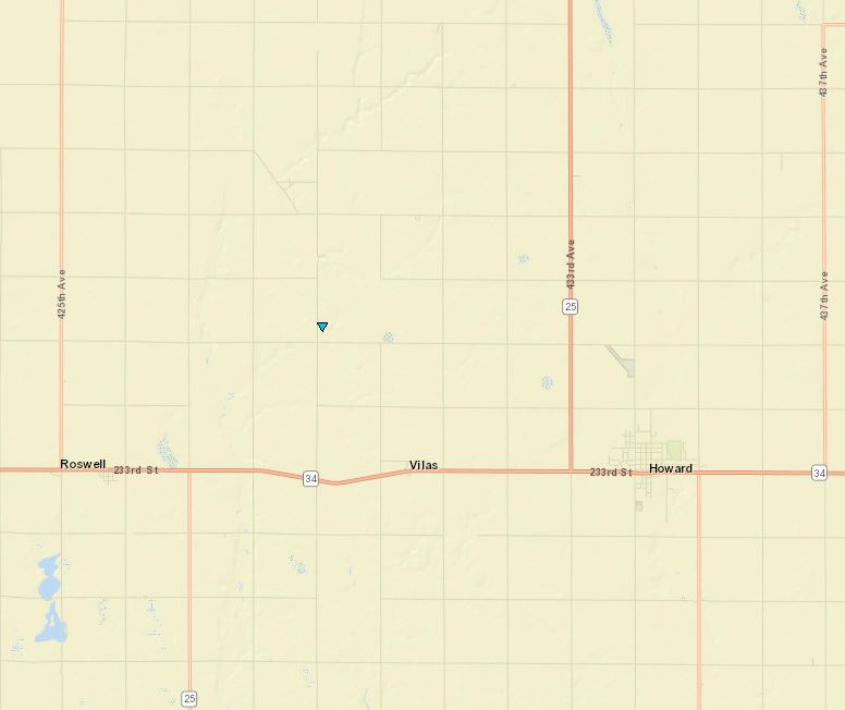 
Downloadable KMZ File |
||||||||||||||||
The Enhanced Fujita (EF) Scale classifies tornadoes into the following categories:
| EF0 Weak 65-85 mph |
EF1 Moderate 86-110 mph |
EF2 Significant 111-135 mph |
EF3 Severe 136-165 mph |
EF4 Extreme 166-200 mph |
EF5 Catastrophic 200+ mph |
 |
|||||
Radar and Precipitation:
Header
 |
 |
 |
 |
| A loop of radar imagery from 7 pm - 9:30 pm CDT 8 May 2018. | A video showing the evolution of the Vilas, SD tornado from radar. Click on image to enlarge. |
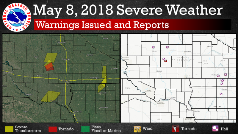
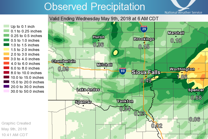
Where warnings were issued and the reports received through 1 pm 9 May 2018. | Map of precipitation from 8 May 2018. |
 |
Media use of NWS Web News Stories is encouraged! Please acknowledge the NWS as the source of any news information accessed from this site. |
|


 Weather Story
 Weather Map
 Local Radar