Overview
|
During the daytime hours of July 19, 2017, a severe thunderstorm developed across portions of northwestern South Dakota and started to track southeast. Before the afternoon was finished, this severe storm tracked across South Dakota, Minnesota, Iowa and eventually finished the day in Illinois. |
 |
 |
|
| High Resolution Satellite Data | Storm Damage Near Marshall | Storm Damage Near Lake Benton, MN |
Wind Damage and Brief Tornado:
Wind Damage Photos
 |
|
 |
.jpg) |
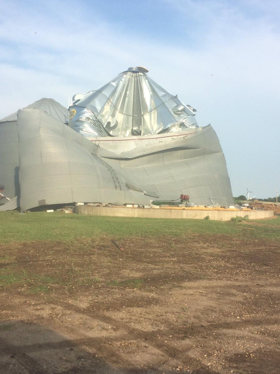
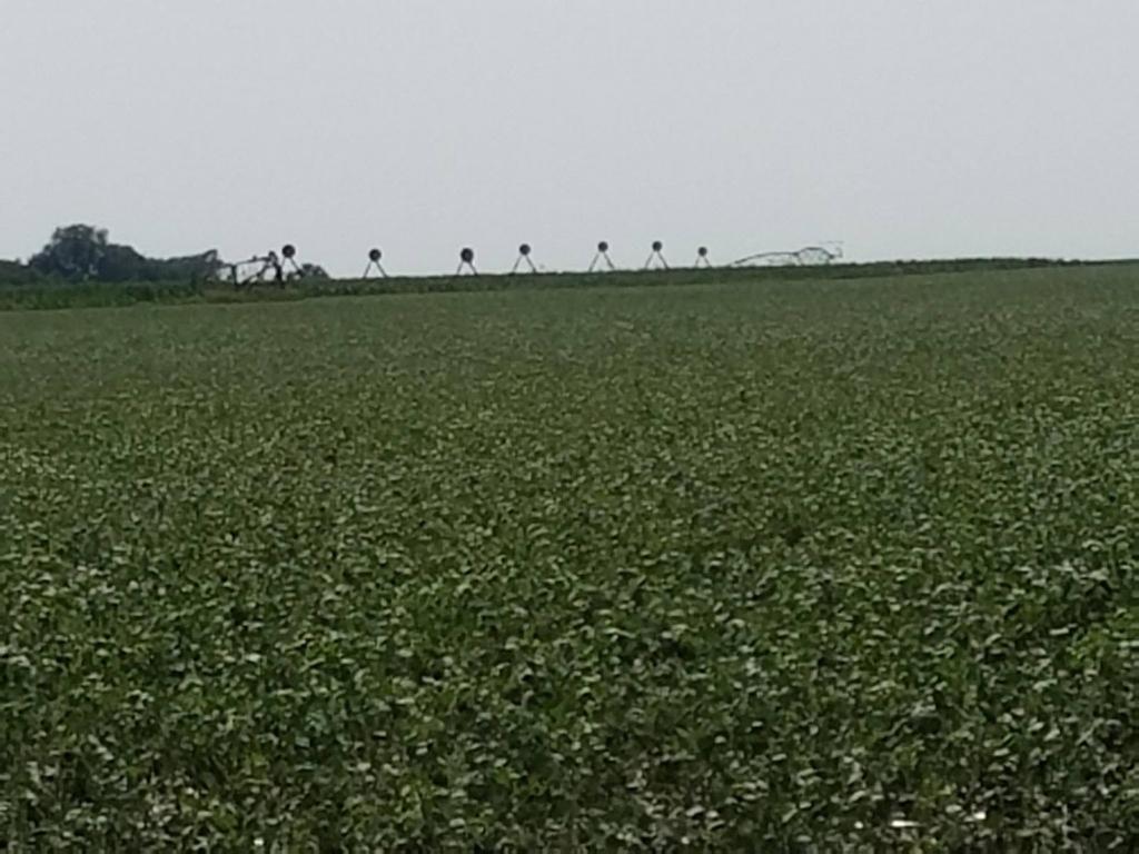
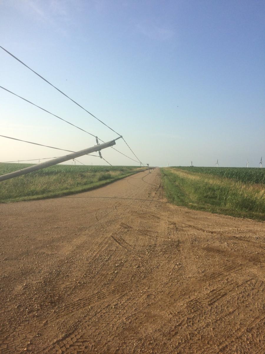
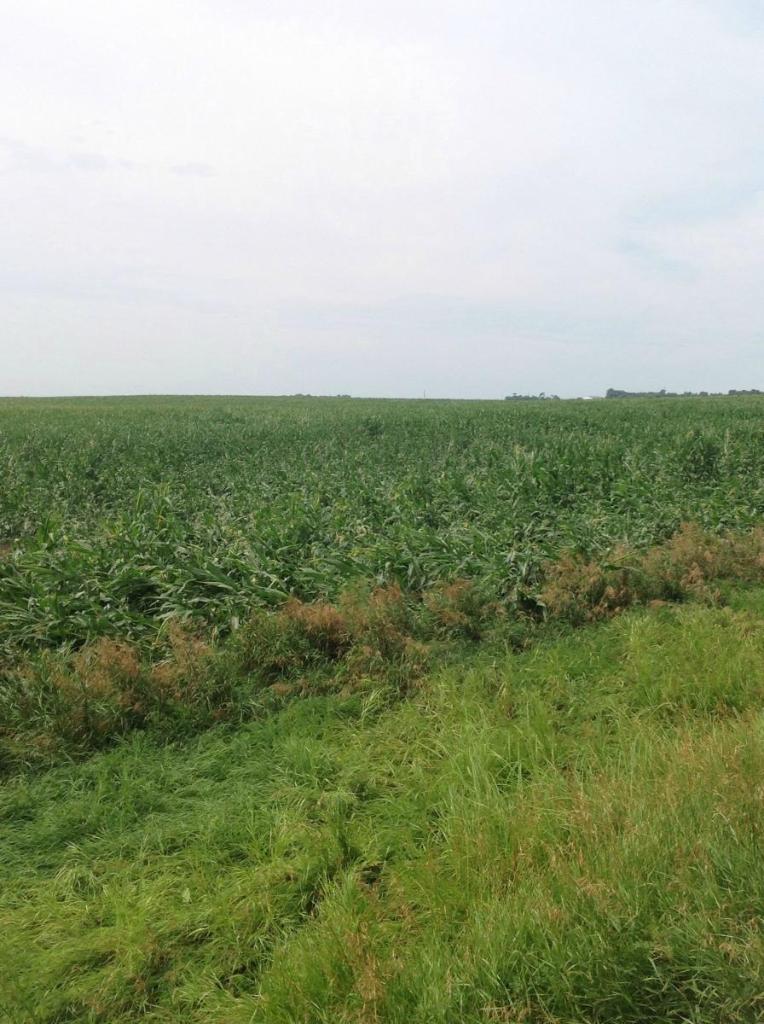
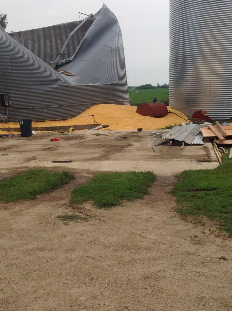
| Blown Over Irrigation System Near Huron, SD | Grain Bin Damage Near Lake Benton | Power Poles NW of Lake Benton | Flattened Corn Near Huron, SD |
 |
|
 |
|
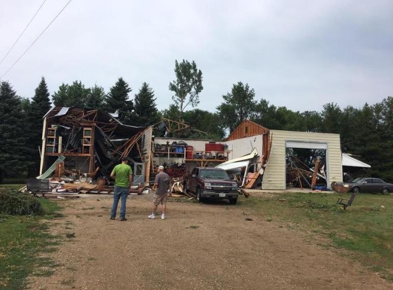
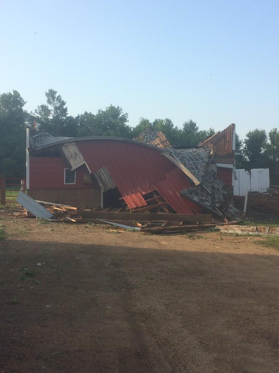
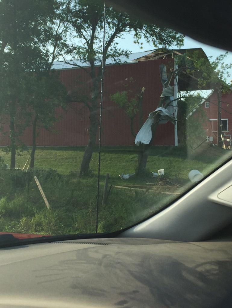
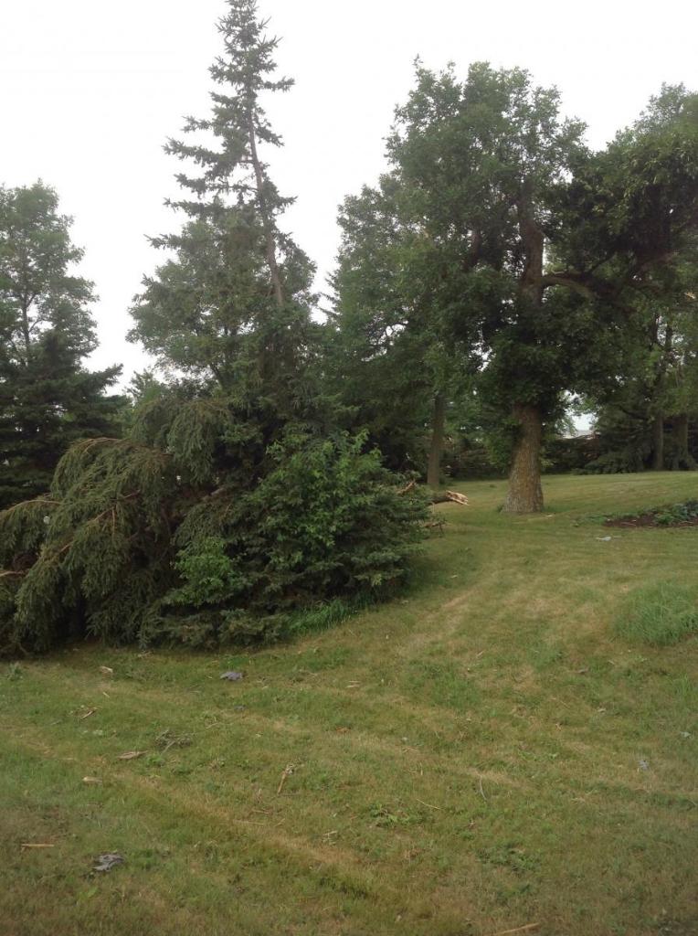
| Barn Damage NW of Lake Benton | Damage Storage Shed Near Marshall | Shed Damage Near Marshall, MN |
Tornado Information
|
Tornado Details
Location: 5 Miles south-southwest of Marshall, MNPath Length: 50 YardsPath Width: 10 YardsEstimated Wind Speeds: 80 - 90 mphEF Rating: EF-0
Location: 4 Miles south of Marshall, MNPath Length: 50 yardsPath Width: 10 yardsEstimated Wind Speeds: 90-100 mphEF Rating: EF-0 |
 |
 |
|
| Initial Tornado Development Point (NWS Survey) |
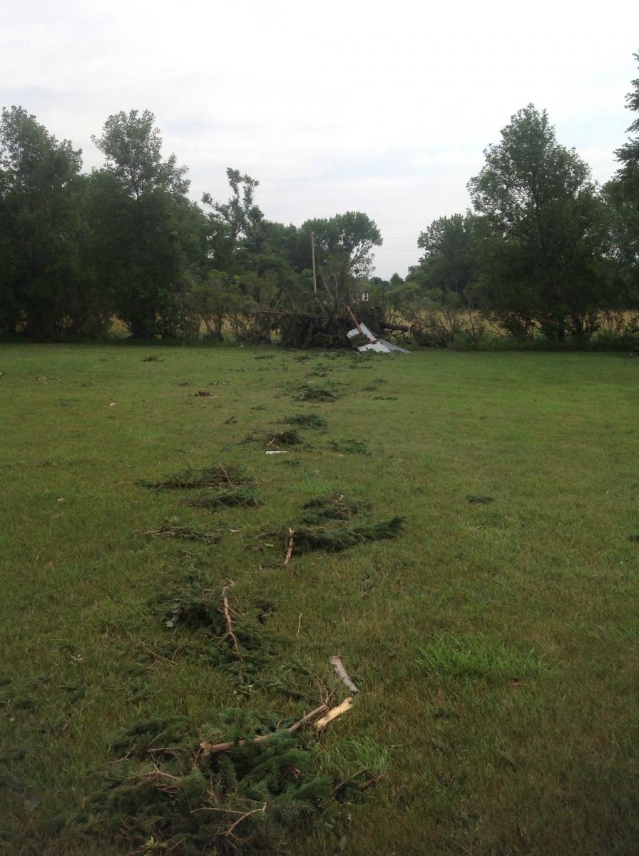
Converging Tree Branches (NWS Survey) |
||
 |
 |
||
| Grain Bin Damage (NWS Survey) |
Tree Damage (NWS Survey) |
||
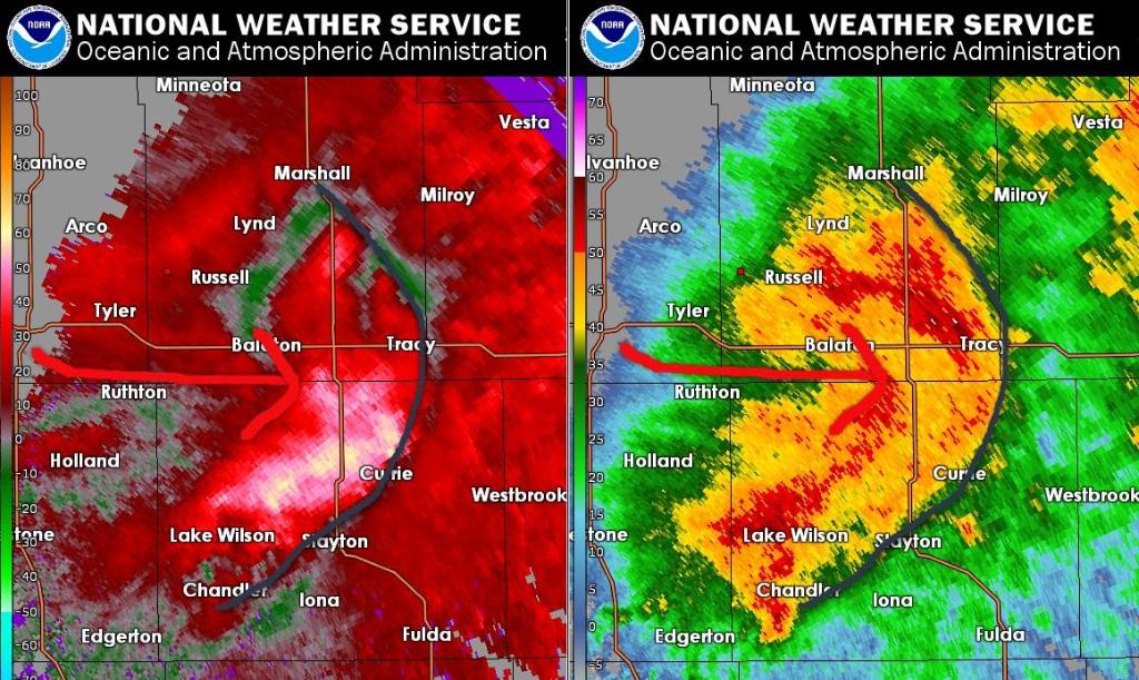
Radar:
Regional and Local Radar Loops and Images
 |
 |
 |
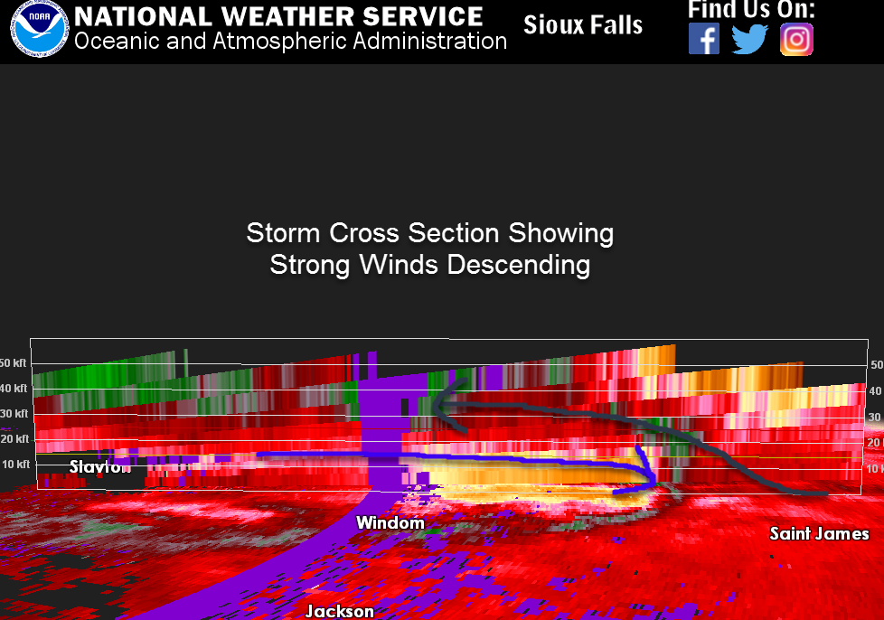 |
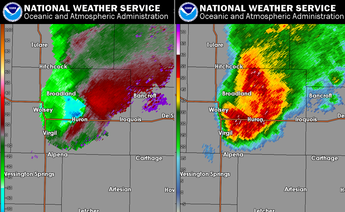
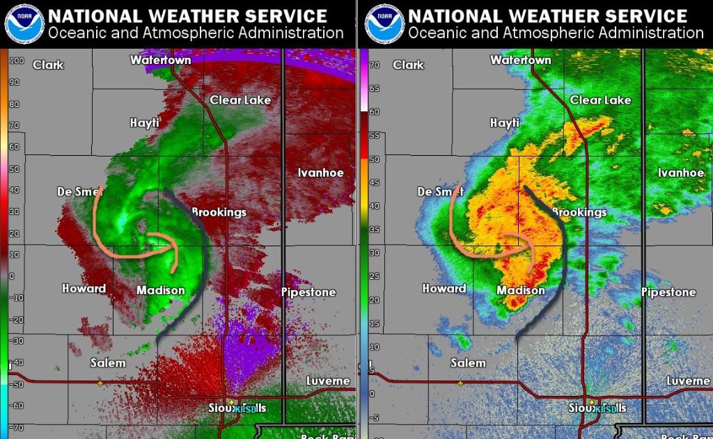
| Radar Signature Producing 83 mph Winds in Huron, SD | Storm Dynamics Changing Near Brookings, SD | Strong Winds Rebuild South of Marshall, MN | Cross Section Showing Strong Winds Descending Through The Storm |
Storm Reports
Here is a look at storm reports from this event. Click HERE for an interactive view.
 |
 |
||||||||||||||||||||||||||||||||||||||||||||||||||||||||||||||||||||||||||||||||||||||||||
| Regional Storm Reports | Local Storm Report | ||||||||||||||||||||||||||||||||||||||||||||||||||||||||||||||||||||||||||||||||||||||||||
|
|||||||||||||||||||||||||||||||||||||||||||||||||||||||||||||||||||||||||||||||||||||||||||
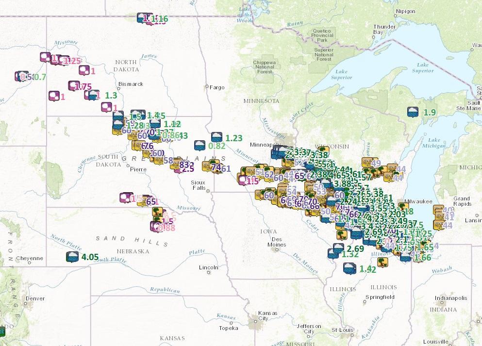
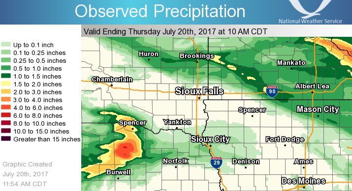
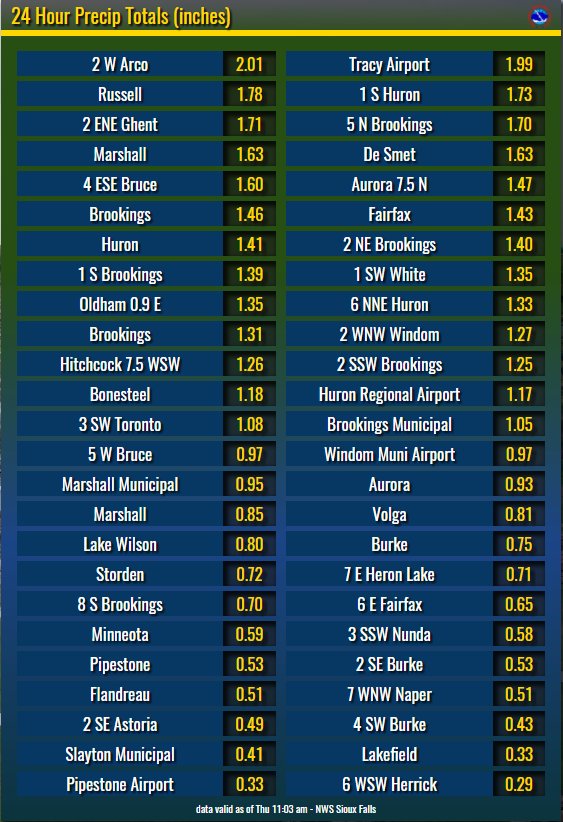
Rain Reports
Rainfall as high as 2" was reported across the region. Here's a look at a few of the observed precipitation totals.
 |
 |
 |
Media use of NWS Web News Stories is encouraged! Please acknowledge the NWS as the source of any news information accessed from this site. |
|


 Weather Story
 Weather Map
 Local Radar