Sioux Falls, SD
Weather Forecast Office
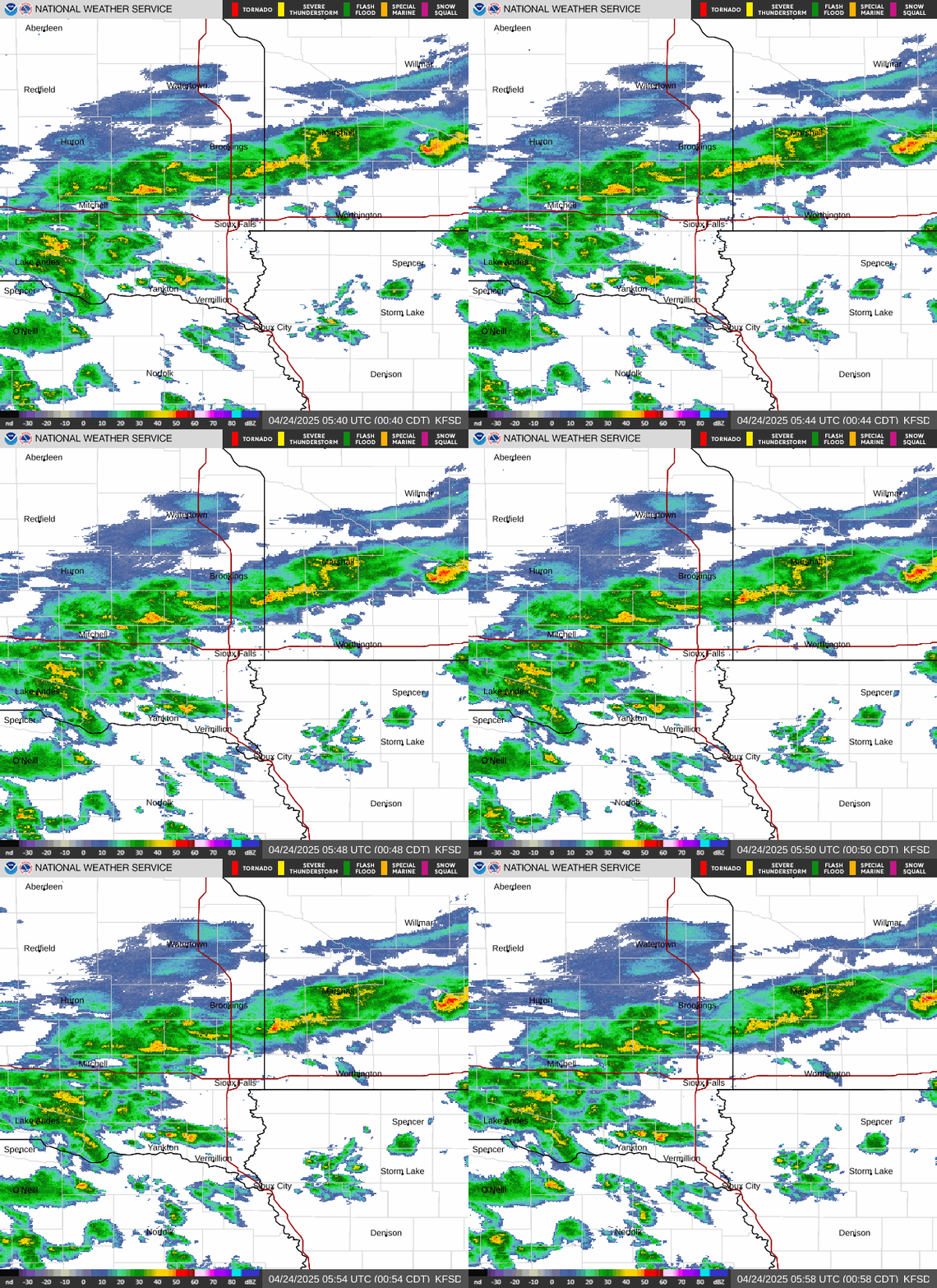
Late Sunday afternoon around 6 pm, the stage on the Little Sioux River at Cherokee, Iowa reached a record 27.30 feet. This eclipsed the former record of 27.20 feet which occurred on April 7, 1965. In comparison, the former record was a snowmelt flood, while the current levels are a result of heavy convective rainfall from Saturday evening and overnight which brought a widespread 4 to 8 inches rainfall to most of Cherokee county. The former record high stage which resulted from heavy convective rainfall was from July 18, 1993, when the river reached a stage of 27.08 feet.

Storm Total Rainfall from Saturday/Saturday Night
Cherokee County Emergency Management estimated early Sunday evening that around 200 homes were impacted by the high water, and the city of Cherokee was accessible only from the north and west directions.
The river is expected to crest this Sunday evening, with river levels then expected to fall. Information about the current river stage and forecast for the Little Sioux River at Cherokee can be found at:
Popular Pages
Past Weather Events
Regional Weather Roundup
Daily Temp/Precip
Hazardous Weather
Local Climate Archives
Climate Graphs and Data
Seasonal
EvapoTranspiration
Fire Weather
Grassland Fire Danger
Flooding (River)
Summer Weather
Travel Forecasts
Winter Weather
Winter Preparedness
Forecast Snowfall Graphic
Winter Temp Climatology
US Dept of Commerce
National Oceanic and Atmospheric Administration
National Weather Service
Sioux Falls, SD
26 Weather Lane
Sioux Falls, SD 57104-0198
605-330-4247
Comments? Questions? Please Contact Us.


 Weather Story
 Weather Map
 Local Radar