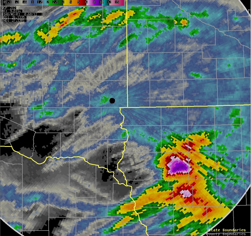
The image above represents radar estimated storm total precipitation through Sunday morning, June 27th. Though radar estimates may be a little high across Highway 14 in southeastern South Dakota and northwest Iowa due to hail contamination, an estimated five to eight inches of rainfall fell across a large portion of Cherokee and Ida counties in northwest Iowa Saturday night. The table below lists 24 hour precipitation totals received on the morning of June 27th.
| Location | Amount (in) |
| Cherokee, IA | 6.33 |
| Cherokee, IA | 6.15 |
| Peterson, IA | 4.07 |
| Holstein, IA | 2.69 |
| 2 SSE Astoria | 2.33 |
| Marshall, MN Airport | 2.09 |
| Hartford | 2.05 |
| 6 S Hartford | 2.03 |
| Holly Springs, IA | 2.03 |
| Marshall, MN COOP | 2.00 |
| 4 WNW Sioux Falls | 1.90 |
| 7 WSW Garretson | 1.89 |
| SSW Brookings | 1.81 |
| Huron COOP | 1.81 |
| 3 SSW Brookings | 1.79 |
| Carthage | 1.78 |
| Slayton, MN | 1.78 |
| Brandon, SD | 1.75 |
| Sioux Falls NWS | 1.72 |
| Astoria | 1.71 |
| Lake Benton, MN | 1.70 |
| Rock Valley, IA | 1.60 |
| Brookings | 1.60 |
| Eros Data Center | 1.52 |
| 3 WSW Sioux Falls | 1.44 |
| Windom, MN | 1.44 |
| Spencer, IA | 1.37 |
| Ocheyedan, IA | 1.36 |
| Heron Lake, MN | 1.27 |
| Huron | 1.27 |
| WSW Everly, IA | 1.22 |
| Everly, IA | 1.20 |
| Luverne, MN | 1.16 |
| Tracy, MN | 1.12 |
| Lakefield, MN | 1.04 |
| Jackson, MN Airport | 1.03 |
| Sheldon, IA COOP | 1.03 |
| Pipestone, MN COOP | 1.00 |
| Sibley, IA COOP | 1.00 |
| Worthington, MN Airport | 0.97 |


 Weather Story
 Weather Map
 Local Radar