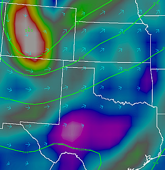
Record setting heat is expected over the next several days from the Intermountain West through the northern Plains. Furthermore, fire weather concerns increase with dry and breezy conditions. Meanwhile, heavy rainfall and severe thunderstorm threats for the Ohio/Tennessee Valleys, central Appalachians and Southeast today. The threat shifts to central Gulf Coast and across central Texas this week. Read More >
|
|||||||||||||
| 6 to 10 Day 8 to 14 Day 30 Day |
90 Day Threats Assessment |
|
|
|
|||||||||||||
| Texas and Oklahoma Panhandles Central and Northern New Mexico Southeast and South Central Colorado |
Southwest Kansas Western and Central Oklahoma South and Low Rolling Plains of Texas |
|
|
|||||||||||||
| Texas and Oklahoma Panhandles Central and Northern New Mexico Southeast and South Central Colorado |
Southwest Kansas |
|
|
|||||||||||||
| Texas and Oklahoma Panhandles Central and Northern New Mexico Southeast and South Central Colorado |
Southwest Kansas Western and Central Oklahoma South and Low Rolling Plains of Texas |
|
|
|
|||||||||||||
| Texas and Oklahoma Panhandles Central and Northern New Mexico Southeast and South Central Colorado |
Southwest Kansas Western and Central Oklahoma South and Low Rolling Plains of Texas |
|
|
|||||||||||||
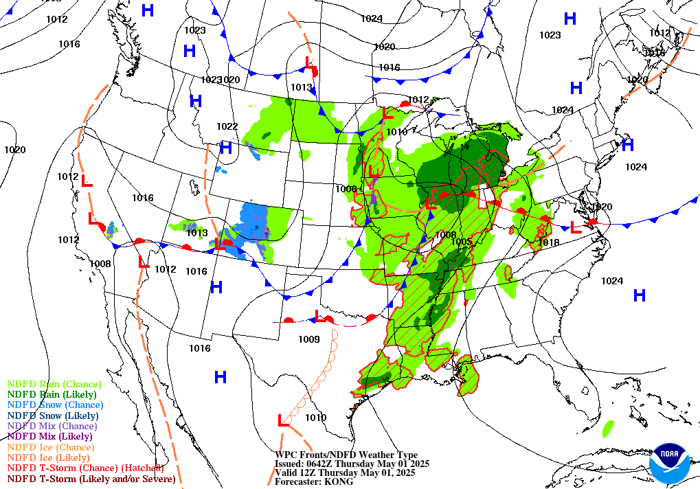
| Surface Features 12 Hour Forecast 24 Hour Forecast 36 Hour Forecast 48 Hour Forecast Precipitation Day 1 Day 2 Day 3 Days 4 and 5 |
 |
![]() Note: This product is not issued routinely. Please check the date and time carefully.
Note: This product is not issued routinely. Please check the date and time carefully.