
Tropical Depression Two is expected to gradually strengthen and could bring tropical storm conditions to the Florida Panhandle beginning late Monday. Areas of flash flooding will be possible through Thursday along the eastern and central Gulf Coast. Severe thunderstorms will develop and move along a cold front crossing the Upper Midwest Monday, and through the Ohio Valley/Mid-Atlantic on Tuesday. Read More >
Amarillo, TX
Weather Forecast Office
|
|
 |
|
|
|
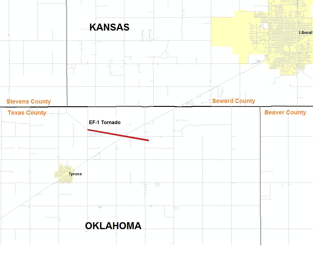
| Rating (EF Scale) | EF-1 |
| Estimated Maximum Wind | 90 mph |
| Injuries/Fatalities | None |
| Damage Path Length | 2.1 miles |
| Maximum Path Width | 50 yards |
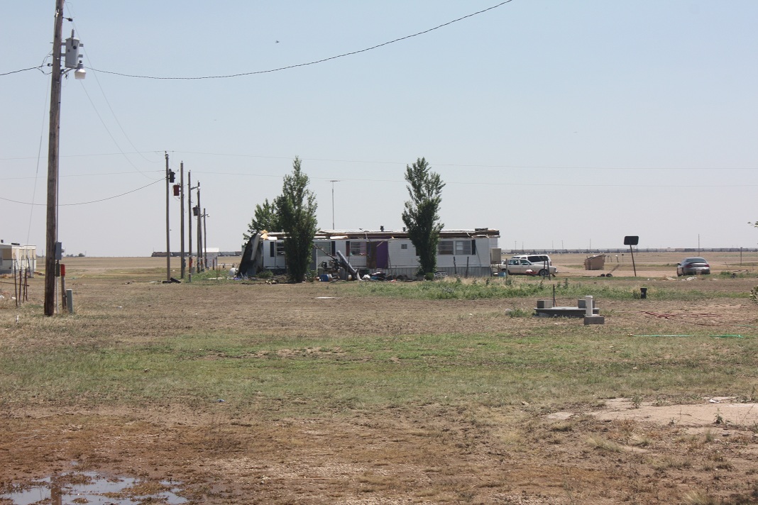
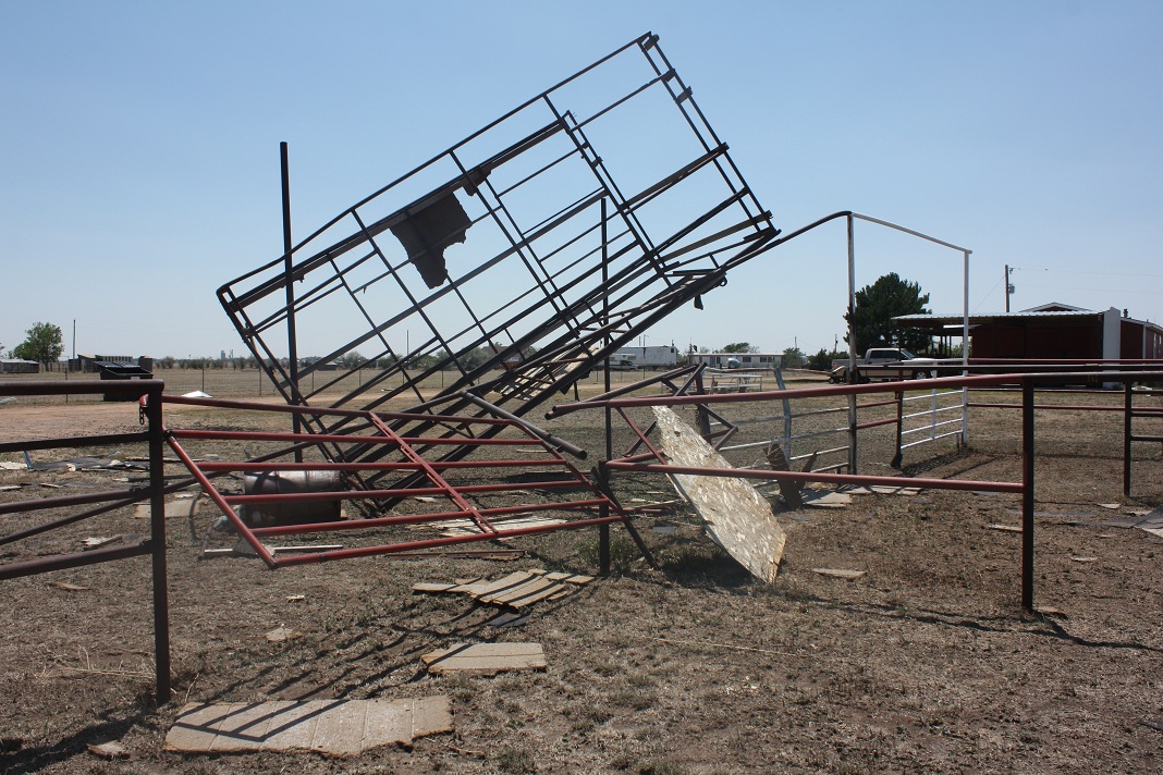
| The tornado first touched down near the intersection of Mile 54 Road and B Road northeast of Tyrone around 7:11 p.m. CDT. The tornado was on the ground for about 2.1 miles with a maximum width of 50 yards. The maximum wind speeds were around 90 mph. The tornado dissipated just southeast of the intersection of Mile 56 and B Road around 7:25 p.m. CDT. No injuries or fatalities were reported. This is a preliminary report and is subject to revision based on new or additional information. | |
 |
 |
 |
US Dept of Commerce
National Oceanic and Atmospheric Administration
National Weather Service
Amarillo, TX
1900 English Road
Amarillo, TX 79108
(806) 335-1121
Comments? Questions? Please Contact Us.

