
Gusty winds and dry conditions will continue to bring elevated to critical fire weather conditions to the southern Plains and Southeast early this week. A Pacific storm system will bring low elevation rain and heavy high elevation mountain snow to northern and central California through early week, expanding into the Pacific Northwest, Great Basin, and southern California on Tuesday. Read More >
Overview
|
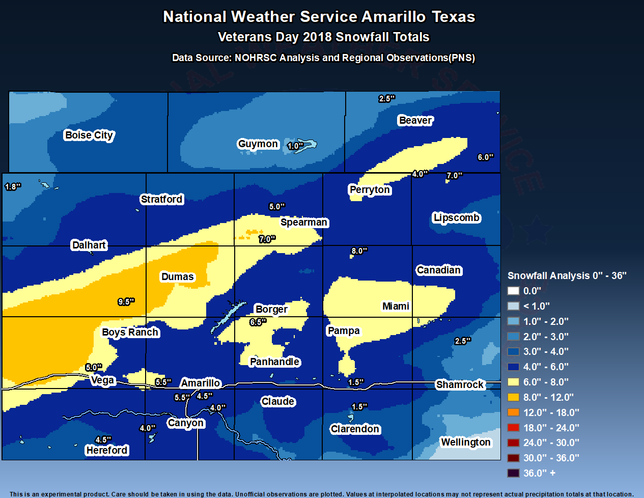
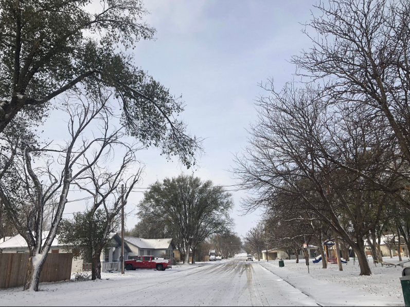
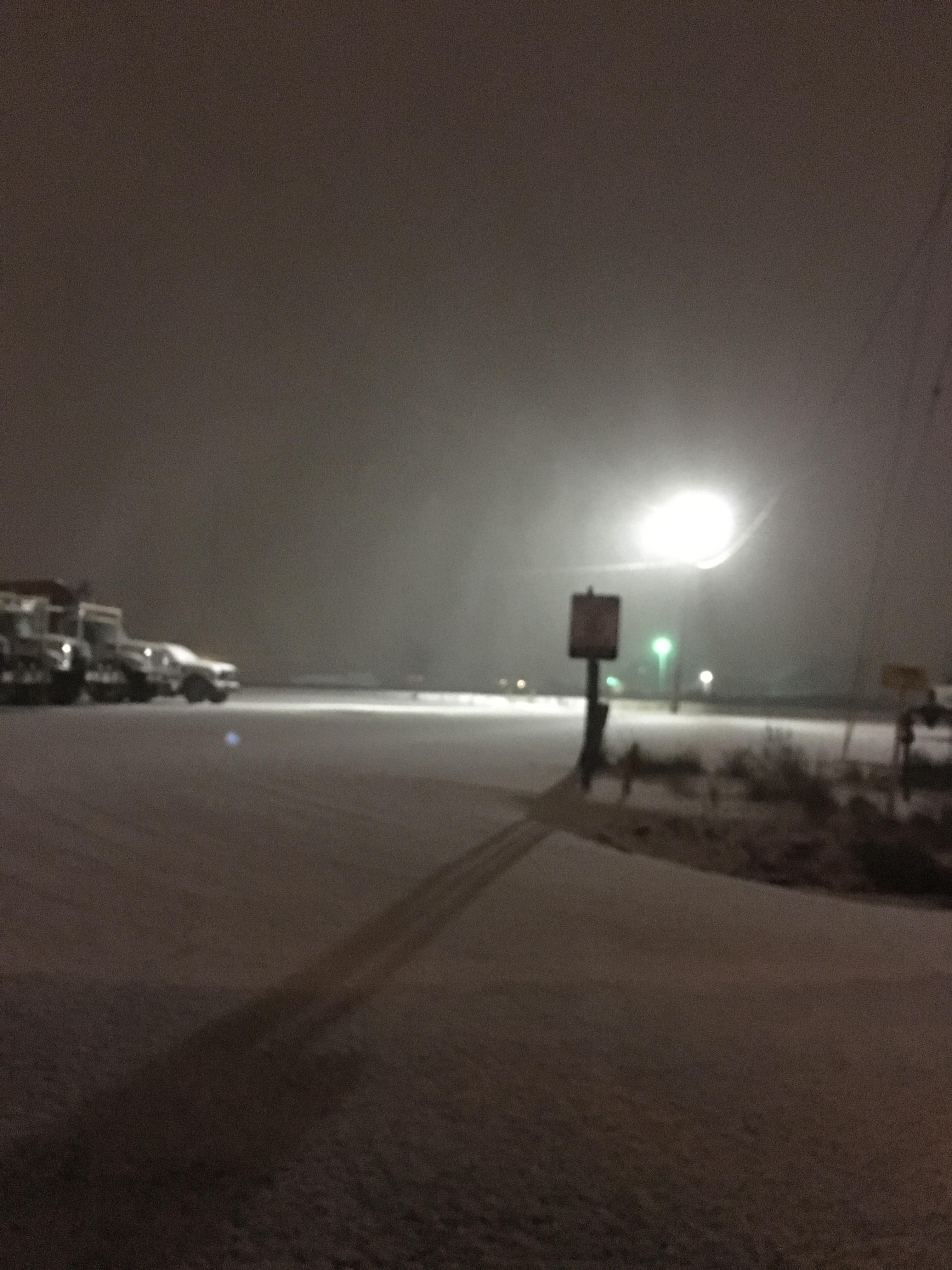
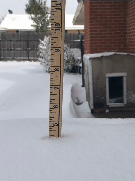
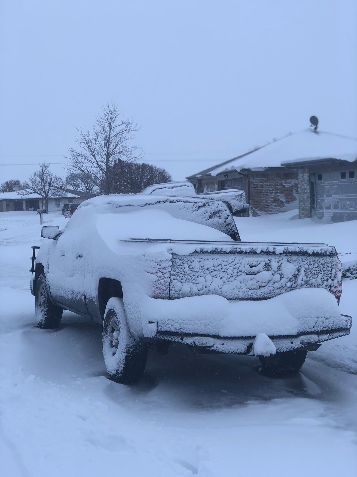
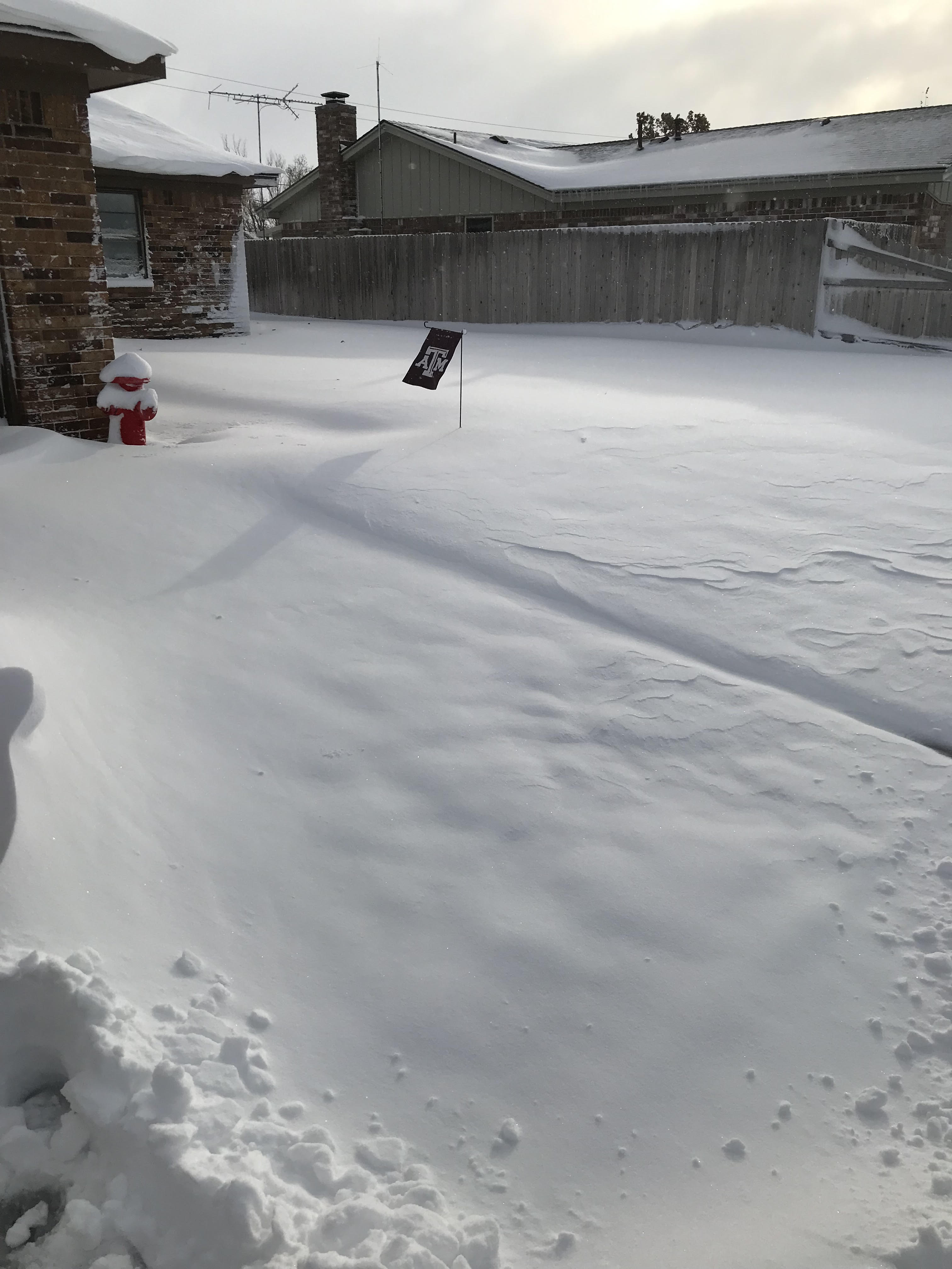
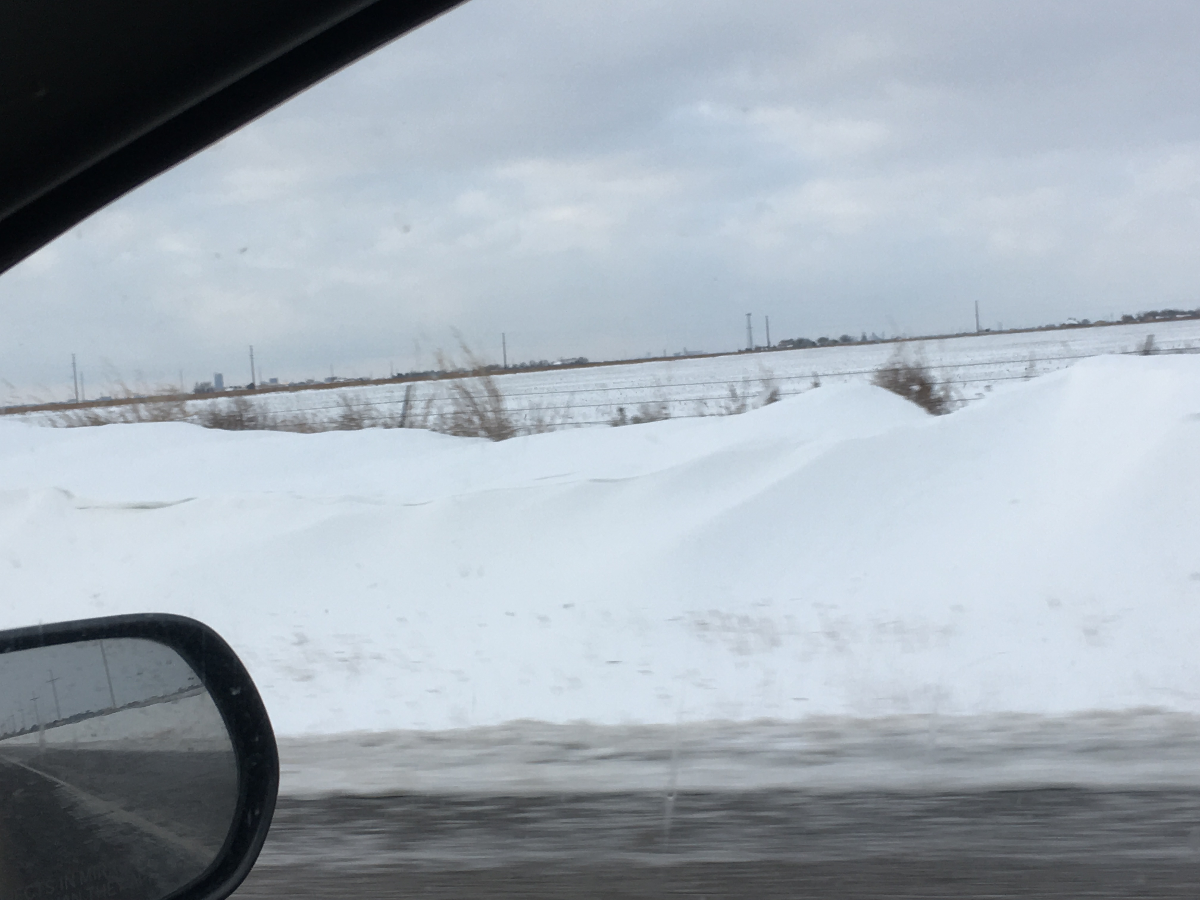
Veterans Day 2018 will be remembered by some--not only as a day to remember all those great men and woman who served our country and gave the ultimate sacrifice--but also the day the Texas and Oklahoma Panhandles experienced a significant early season snowfall event. This was not just any snow event though...as some areas observed thundersnow!!! This is something that doesn't occur that often in this region. Amarillo already surpassed the total snowfall amount for all of the 2017-18 winter season, when only a trace was measured. In fact, this snow event broke a 560 day streak of no measurable snow at the Amarillo International Airport, which is the official climate site for the city. This was the second longest streak of this kind. The longest streak was 669 days, ending January 30, 1951. So, we have already surpassed the total snowfall amount for all of the 2017-2018 winter season in Amarillo when we only received a trace of snowfall (for the entire season). Snow began during the evening of November 11th as a strong trough approached from the northwest. This resulted in bands of snow that produced narrow corridors of heavy snowfall, which were only a county wide at times. One such band across the southern Texas Panhandle had embedded thunderstorms, which led to graupel (snow pellets) and periods of heavy snowfall that greatly limited visibility. The main band that produced the highest totals of 6-10 inches extended from Tucumcari, NM through Dumas, Morse and Darrouzette. Due to accurate forecasts, the snowfall potential was messaged well in advance. Crews around the Texas and Oklahoma Panhandles were able to treat the roads well in advance, with a focus on the I-40 corridor that was forecast to be heavily impacted. Impacts that were observed included moderate to heavy snowfall, visibility below a mile, and occasional whiteout conditions (<1/4 mile visibility). Though such conditions were observed, blizzard criteria was not met due to sustained winds being below 35 MPH. Regardless, travel conditions were not ideal with many schools reporting delays until 10 AM CST, and a few deciding to cancel classes outright due to safety concerns. |
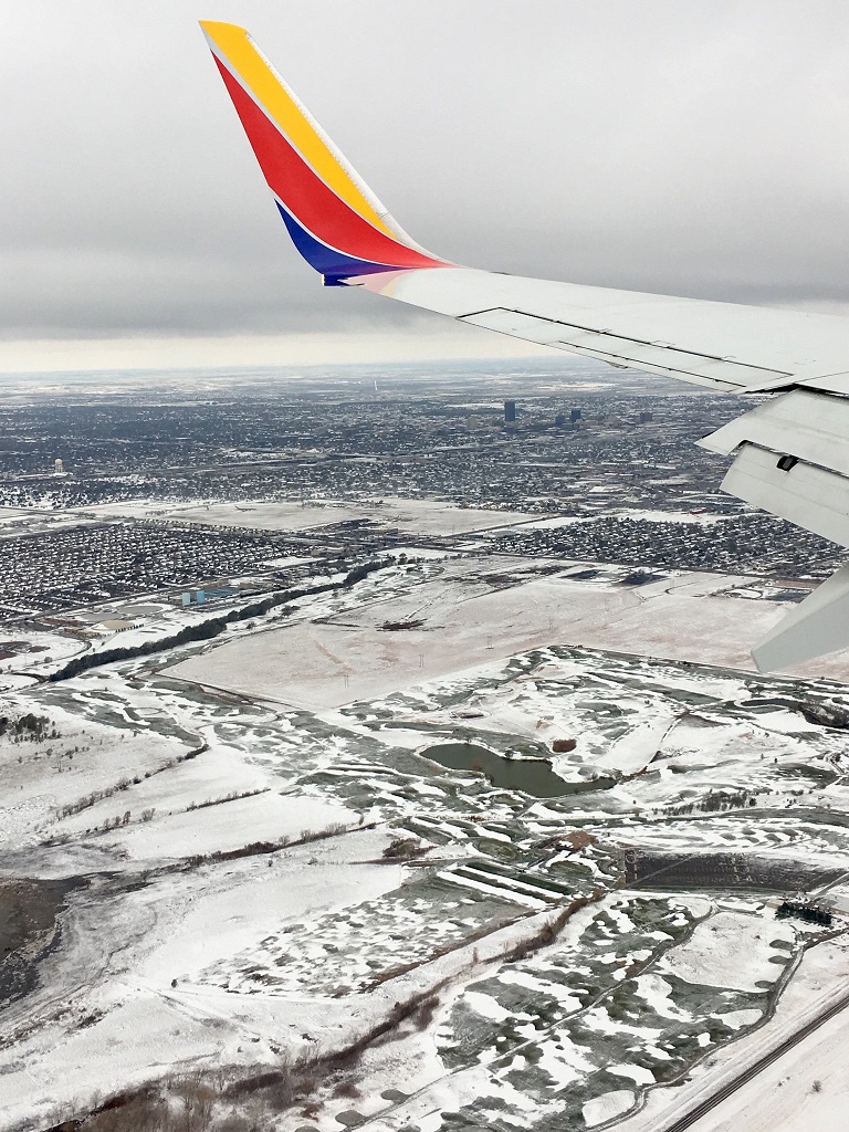 Flying over Amarillo (Christy Fox) |
Snow/Ice
Photos & Video
.jpg) |
.jpg) |
.jpg) |
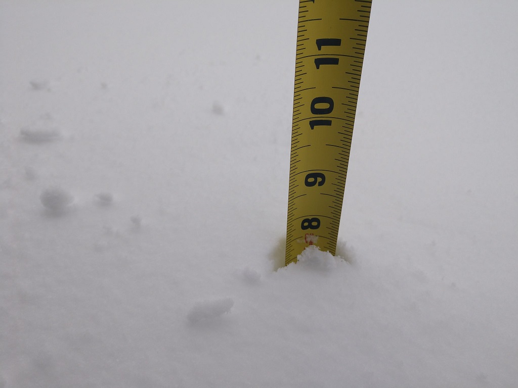 |
| 18 inch drifts and around 4 inches of snow 3 Miles East of Canyon, TX (Credit: Aaron Ward) |
Snow blanketed the grounds and vehicles at NWS Amarillo (Credit: Aaron Ward) |
The sun came out briefly Monday morning, but not long enough for much melting (Credit: Aaron Ward ) |
Some of the heaviest snow totals came from Channing to Dumas to Spearman (Credit: Brian Beck) |
 |
 |
 |
 |
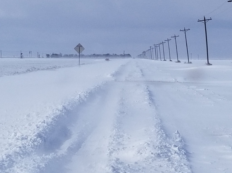
| East of Sunray (Credit: Casey Kimbrell) | Monday Morning in Dalhart (Credit: @DalhartCloudChaser) | Snowing in Canyon Sunday night (Credit: Mike Gittinger) |
Over 4 inches in Gruver (Credit: Teague Winger) |
 |
 |
 |
 |
| Snow in Dumas (Credit: Ron Pray) | Monday Morning in Dumas (Credit: Ron Pray) | Large drifts along Soncy in Amarillo (Credit: Mike Gittinger) |
Enough snow for a snowman in Amarillo (Credit: Melissa Beat) |
| South Amarillo Sunday Night (Credit: Stephen Bieda) |
| East Canyon Sunday night w/ lighting at the end (Credit: Aaron Ward) |
| Downtown Canyon Sunday night (Credit: Mike Gittinger) |
Radar/Satellite
RADAR
WATER VAPOR
VISIBLE SATELLITE
Storm Reports
Public Information Statement
National Weather Service Amarillo TX
156 PM CST Mon Nov 12 2018

...TOTAL SNOWFALL REPORTS FROM VETERANS DAY WINTER STORM...

Location                     Amount    Time/Date       Provider
Channing                     9.5 in    0900 AM 11/12
21 SE Spearman               8.0 in    0808 AM 11/12
Dumas                        8.0 in    1000 AM 11/12
Panhandle                    7.0 in    1200 AM 11/12   Public
Borger                       7.0 in    0524 AM 11/12
Morse                        7.0 in    0820 AM 11/12
Boys Ranch                   7.0 in    0900 AM 11/12
Spearman                     7.0 in    0919 AM 11/12
Darrouzett                   7.0 in    1000 AM 11/12
Fritch 5.1 E                 6.5 in    0700 AM 11/12   COCORAHS
Vega                         6.0 in    0326 AM 11/12
5 SE Slapout                 6.0 in    0800 AM 11/12
4 WSW Amarillo               6.0 in    0901 AM 11/12
4 WSW Amarillo               5.5 in    0700 AM 11/12   COCORAHS
1 W Bushland                 5.5 in    1035 AM 11/12
Pampa                        5.3 in    0900 AM 11/12
Perryton                     5.0 in    0213 AM 11/12
3 NW Vega                    5.0 in    0858 AM 11/12
Gruver                       5.0 in    0859 AM 11/12
1 NNW Hereford               4.5 in    0630 AM 11/12   COCORAHS
5 SW Amarillo                4.5 in    0833 AM 11/12
Dawn                         4.0 in    0715 AM 11/12
2 SSW Hereford               4.0 in    0800 AM 11/12   COCORAHS
Booker                       4.0 in    1000 AM 11/12
Canadian                     4.0 in    1000 AM 11/12
1 NNW Lake Tanglewood        4.0 in    1100 AM 11/12
Claude                       4.0 in    1200 PM 11/12
2 ENE Hereford               3.5 in    0700 AM 11/12   COCORAHS
Dalhart                      3.0 in    0121 AM 11/12
Beaver                       3.0 in    1000 AM 11/12
8 N Floris                   2.5 in    0700 AM 11/12   COCORAHS
1 W Canyon                   2.5 in    0900 AM 11/12
Wheeler                      2.5 in    0941 AM 11/12
Stratford                    2.3 in    0700 AM 11/12   COCORAHS
Boise City                   2.0 in    0919 AM 11/12
Guymon                       2.0 in    1000 AM 11/12
Texline                      1.8 in    0700 AM 11/12   COCORAHS
Texline                      1.7 in    0859 AM 11/12
4 WSW Lake Mcclellan         1.5 in    0857 AM 11/12
Howardwick                   1.5 in    1000 AM 11/12
5 W Hardesty                 1.0 in    0900 AM 11/12   COCORAHS
Wellington                   1.0 in    0922 AM 11/12   County Official

Observations are collected from a variety of sources with varying
equipment and exposures. We thank all volunteer weather observers
for their dedication. Not all data listed are considered official.
 |
Media use of NWS Web News Stories is encouraged! Please acknowledge the NWS as the source of any news information accessed from this site. |
 |