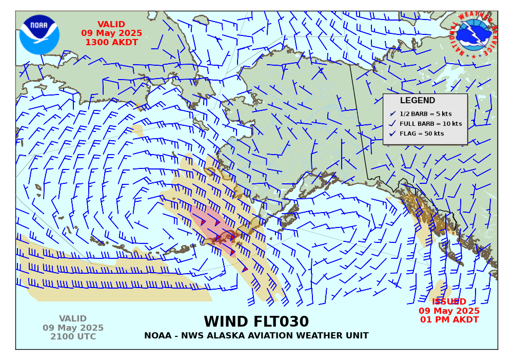
Upper Air Wind Charts
These products are from the NAM atmospheric model at Flight Level (in 100s of feet). These images are updated four times a day following the model runs at 00, 06, 12 or 18 UTC. Three sets of forecast charts valid at model run plus +3, +9 and +15 hours from the initial model time.
Forecast Winds Aloft (+03 hour)
Forecast Winds Aloft (+09 hour)
Forecast Winds Aloft (+15 hour)

Graphics on this website utilize wind barbs to indicate wind direction on speed, which point towards the direction from which the wind is blowing. Guidance on interpreting these wind barbs is available here.
NCEP Winds Aloft Forecasts for Alaska - Model based upper level winds produced by NCEP in a text format. WMO Product ID: FBAK31 KWNO.