Pueblo, CO
Weather Forecast Office
Stay weather aware by downloading the FEMA App, a way that the National Weather Service in Pueblo can let you know of imminent weather risks by sending you notifications to your cell phone. For non-severe weather hazards, including winds, enable the SPS function in your FEMA app by following these steps.
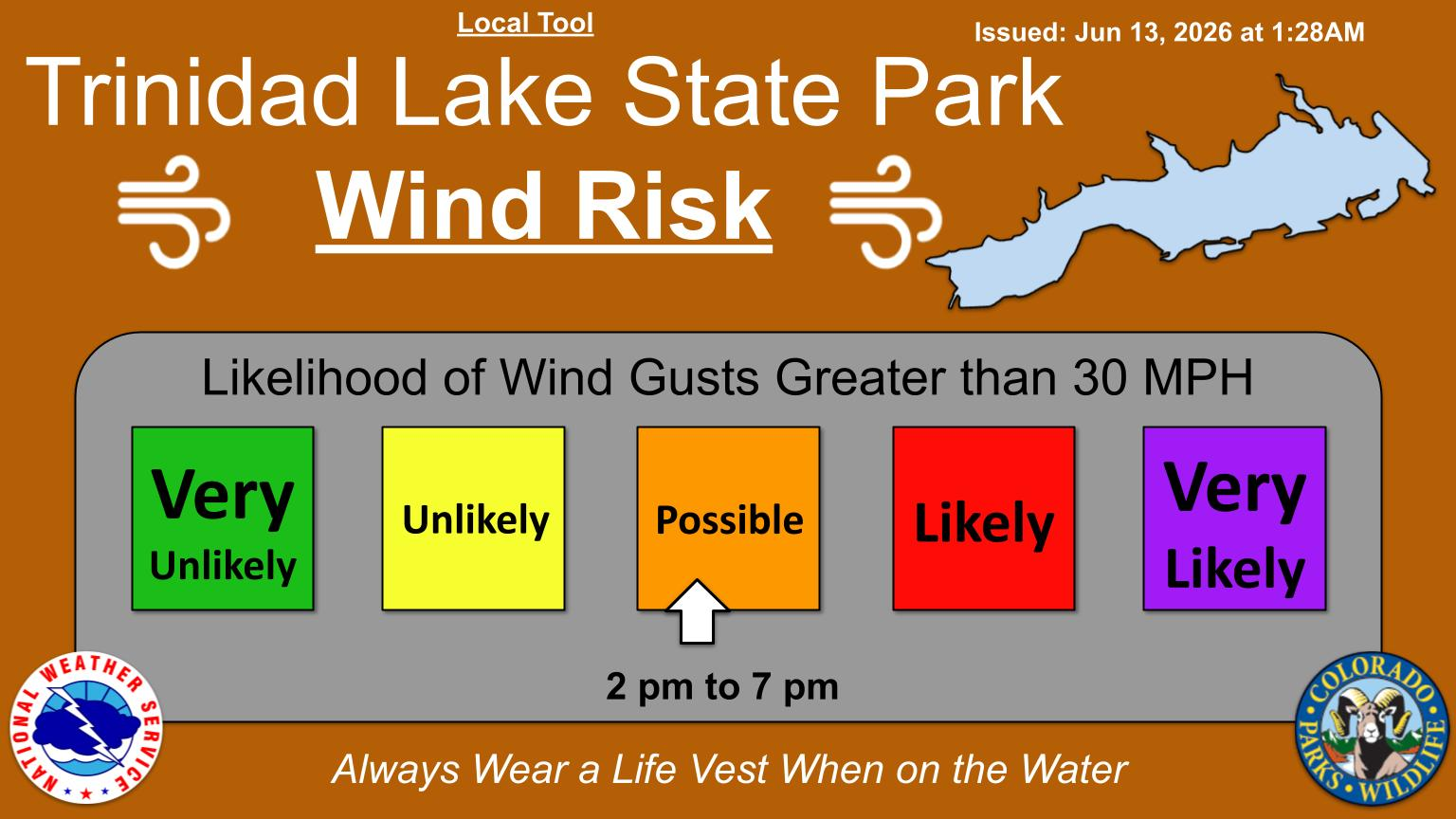
The Wind Risk Tool highlights our confidence of if wind gusts greater than 30 mph will occur and the period of time those conditions will happen. The is a local tool, meaning there may be times where it isn't updated due to technical issues at our office. The expectation is for this product to be issued between 6am - 7am between May 1st and October 31st each season, to incorporate gusty thunderstorm winds.
Click on the map below to change the overall outlook or view hourly details.
An AI model that predicts the probability of lightning in the next 60 minutes using GOES-R ABI data.
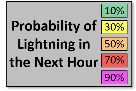


Average hourly lightning: peaks 11 am–7 pm, with mountain buildups 11 am–1 pm.
Boating safety content coming soon!
ACTIVE ALERTS
Warnings by State - click ATOM button
Excessive Rainfall Forecasts
River Flooding
Convective Outlooks
Hurricanes
Fire Weather Outlooks
UV Alerts
Space Weather
Winter Winter Forecasts
Enhanced Data Display(EDD)
PAST WEATHER
Climate Monitoring
Astronomical Data
Certified Weather Data
CURRENT CONDITIONS
Radar
River Levels
Observed Precipitation
Surface Weather
Upper Air
Marine and Buoy Reports
Climate Monitoring
Snow Cover
Satellite
Space Weather
Enhanced Data Display(EDD)
FORECAST
Severe Weather
Drought
Fire Weather
Front/Precipitation Maps
Graphical Foreast Maps
Rivers
Marine
Offshore and High Seas
Hurricanes
Aviation Weather
Climate Outlook
Enhanced Data Display(EDD)
WEATHER SAFETY
Owlie Skywarn - for kids
NOAA Weather Radio
StormReady
Natural Weather Hazard Statistics
Red Cross
Federal Emergency Management Agency(FEMA)
National Weather Service SafetyBrochures

US Dept of Commerce
National Oceanic and Atmospheric Administration
National Weather Service
Pueblo, CO
3 Eaton Way
Pueblo, CO 81001-4856
(719) 948-9429
Comments? Questions? Please Contact Us.


 Follow us on X
 Follow us on Facebook
 Follow us on YouTube
 PUB RSS Feed