April 21, 2007: Supercell Thunderstorm produces several damaging tornadoes from near Olton to Tulia
*LATEST NEWS, THURSDAY APRIL 26. THE NWS LUBBOCK OFFICE HAS UPDATED A PUBLIC INFORMATION STATEMENT CONTAINING RESULTS FROM THE DAMAGE SURVEY. THE FINDINGS, INCLUDING IMAGES OF DAMAGE, CAN BE FOUND AT THE FOLLOWING LOCATIONS:
Otherwise, you can access the entire public information statement that was released HERE.
For a synposis on what unfolded on Saturday, 21 April 2007, see the remainder of this page.
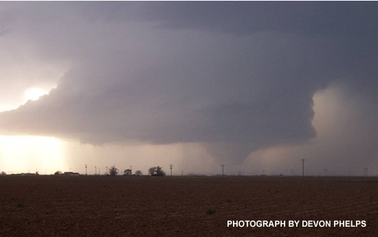
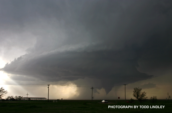
On Saturday afternoon and evening, the South Plains and Panhandle of West Texas were hit by an outbreak of severe thunderstorms. Between the hours of 5 and 6 pm, several thunderstorms developed across the western South Plains. One thunderstorm intensified and began to show supercell characteristics (sustained, deep rotation) as it moved northeast across Lamb County. Around 7 pm, the supercell produced a tornado which touched down around Fieldton (southwest of Olton) and then moved just south and east of Olton, doing damage to several structures and equipment.
 |
|
Tornado between Fieldton and Olton. (photo by Todd Lindley, NWS Lubbock)
|
The thunderstorm continued to move northeast across northeast Lamb, northwest Hale, southeast Castro and southwest Swisher Counties, producing a long-lived tornado (along with hail up to the size of tennis balls).
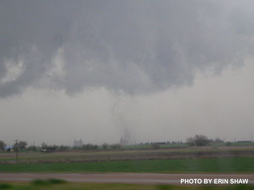
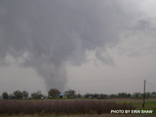
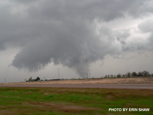
By 7:45 pm, the storm approached the town of Tulia in Swisher County. A tornado touchdown was reported in the town, causing major damage. The following pictures show the formation of the tornado right over Tulia.
 |
 |
 |
|
Developing tornado over Tulia viewed from the southwest on I-27. (photos courtesy Erin Shaw)
|
The tornadic thunderstorm continued to move northeast across Swisher County over open country through about 8:30 pm.
| A large upper level low pressure system near the 4-corners region was responsible for the outbreak of severe thunderstorms on Saturday the 21st from Minnesota to Texas, although the large majority of the tornadoes touched down in the South Plains and Panhandle of West Texas. The approaching storm system drew up moist, Gulf air that formed a dryline near the New Mexico border. Aloft, a 75 knot (86 mph) core of jet stream winds provided wind energy and wind shear for the storms. Finally, very cold air aloft associated with the storm system provided atmospheric instability. Click on the image to enlarge ("Td" stands for dewpoint temperature - a measure of moisture). |
Additional severe thunderstorms affected a large portion of the South Plains Saturday evening. To view the Preliminary Local Storm Report Summary please click HERE.
Additionally, the West Texas Mesonet has created a webpage with very interesting data obtained from their network during this event - including a close pass to a mesonet station by the Tulia tornado. You can access that webpage HERE.
|
Map of the tornado tracks on April 21 - as estimated by public reports and the NWS damage survey
|
Finally, above is a map of the approximate tornado tracks for 21 April 2007.