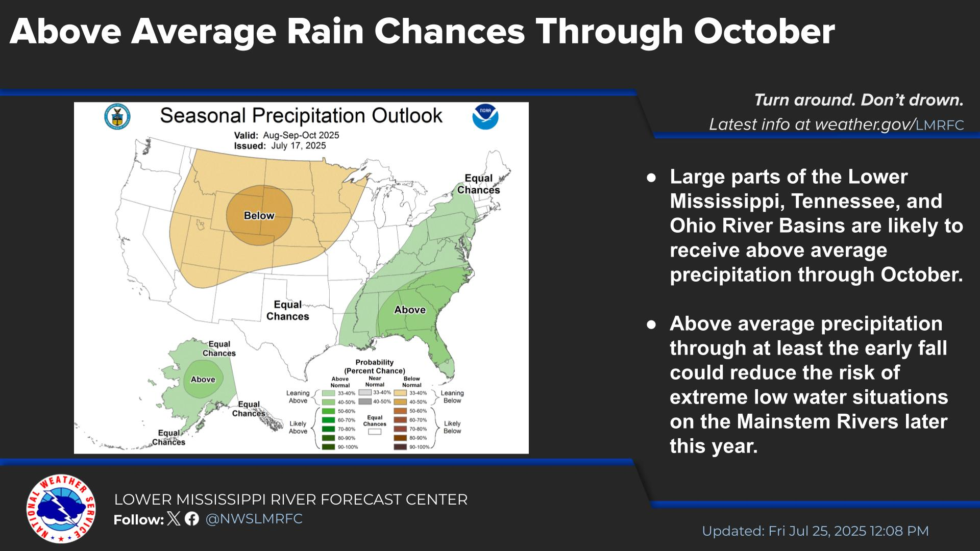
Isolated severe storms capable of hail and gusty winds are possible mainly this evening across portions of the mid-Mississippi Valley. Clusters of thunderstorms may produce isolated flash flooding in the Florida peninsula. Elevated fire weather risk is possible in the Northern Plains into western Minnesota. Read More >
Lower Mississippi RFC
River Forecast Center
Many different estimates of observed precipitation are used in the river forecast process. Sources include rain gauge networks (both official and volunteer) as well as radar estimates.
Daily 24hr precipitation report (HYDORN)
Text only, forecaster QCed. Point observations from gauges. Updates daily.
Daily 24hr precipitation from CoCoRAHS volunteers
Static images, no QC. Point observations from gauges.
Customizable gridded precipitation
Zoomable, panable map, forecaster QCed. Gridded estimates from a combination of rain gauges and radar. May be slow on mobile devices.


 Water Story