
Heat expands across the Desert Southwest, Plains, Mississippi Valley and Midwest into Monday. Fire weather concerns continue for portions of the Intermountain West. Active monsoonal moisture fuels thunderstorms over the Southwest with possible flash flooding. Tropical cyclone Fausto in the Pacific, should weaken as it approaches Hawaii; Dangerous surf, swells and rip currents are expected. Read More >
Important Disclaimer
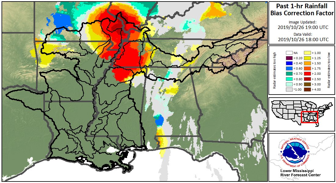
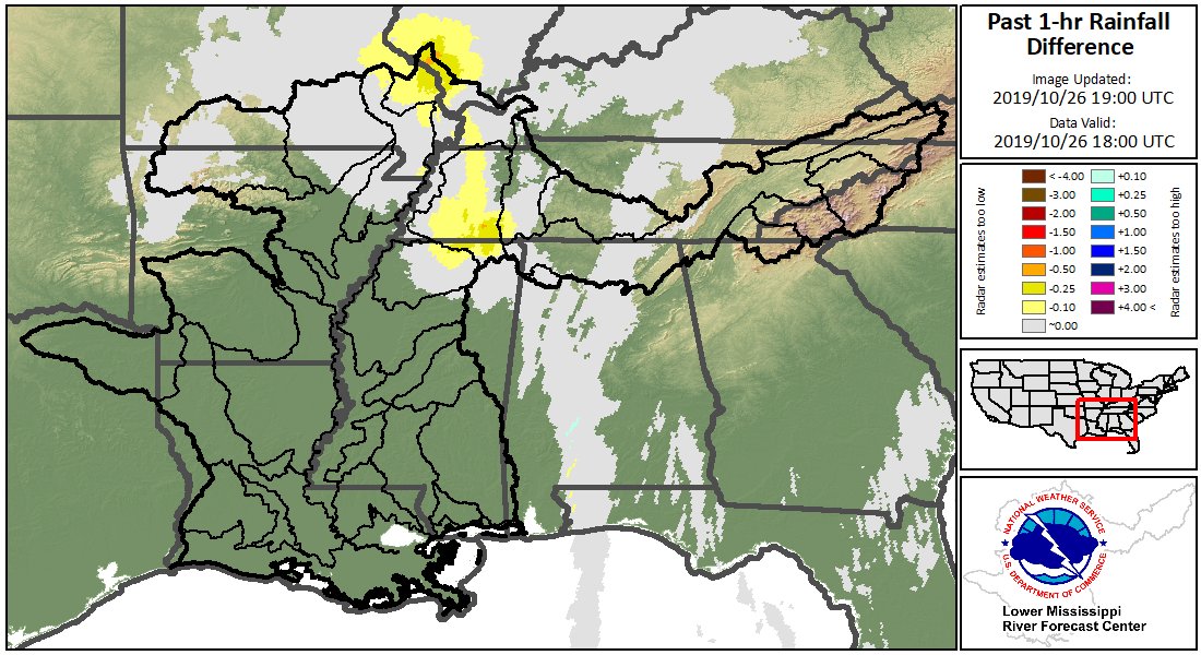
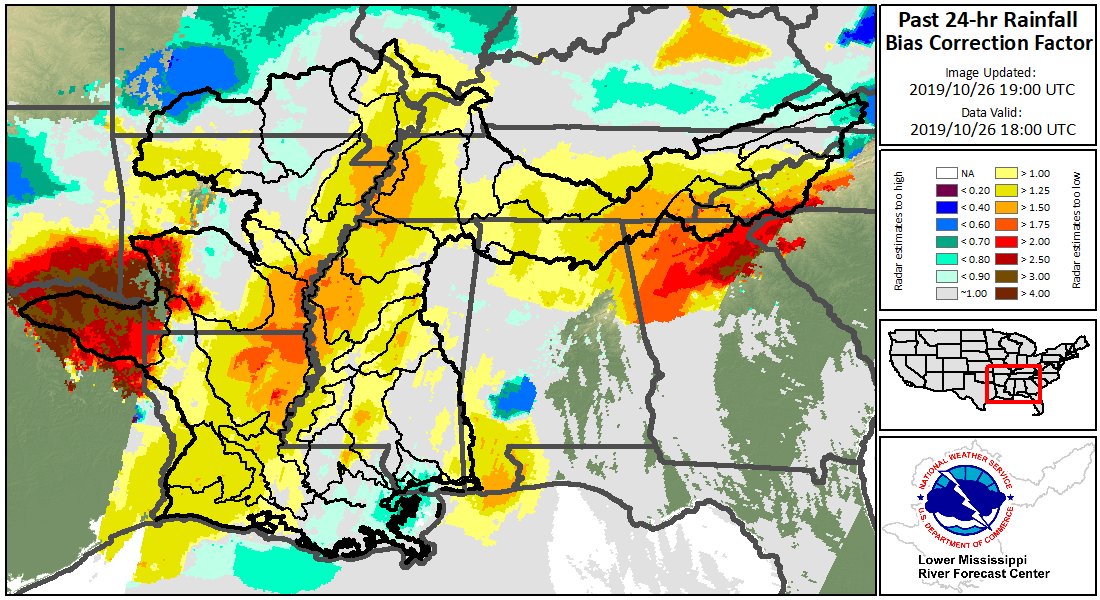
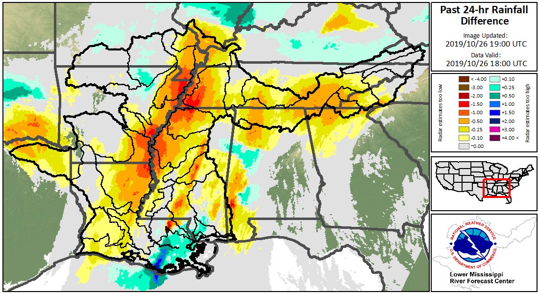
The following graphics are experimental and not an official forecast product. The graphics were created to display diagnostics for the MRMS radar-only rainfall estimate product. The plots were developed as a tool for assessing potential biases in data that has not been adjusted using rain gauges.
Experimental products may not always update in a timely manner and may be discontinued at a future date. Experimental products may not always reflect accurate, quality controlled information and should be used with caution.


 Water Story