Louisville, KY
Weather Forecast Office
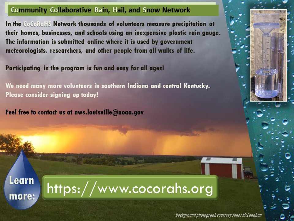
"CoCoRaHS" (Community Collaborative Rain, Hail, and Snow network) is a fun and easy way to keep track of how much rain and snow falls at your home, place of business, or school. Daily reports are submitted via the CoCoRaHS app or website and shared with the National Weather Service, emergency management, and anyone else who is interested. All you need is this simple plastic rain gauge and a couple of minutes each morning to read the gauge and submit your report. You can see all the reports in your area via the CoCoRaHS map. Also, the National Weather Service office in Louisville includes CoCoRaHS reports when constructing area precipitation maps (like this one).
It's a great way to get kids interested in science!
Since 2007, hundreds of people in southern Indiana and central Kentucky have submitted thousands of daily rainfall and snowfall reports. For more information on how to join them, see the CoCoRaHS website or send us an email at nws.louisville@noaa.gov. Then make your resolution to read your rain gauge as often as possible in 2024!
Current Hazards
Hazardous Weather Outlook
Storm Prediction Center
Submit a Storm Report
Advisory/Warning Criteria
Radar
Fort Knox
Evansville
Fort Campbell
Nashville
Jackson
Wilmington
Latest Forecasts
El Nino and La Nina
Climate Prediction
Central U.S. Weather Stories
1-Stop Winter Forecast
Aviation
Spot Request
Air Quality
Fire Weather
Recreation Forecasts
1-Stop Drought
Event Ready
1-Stop Severe Forecast
Past Weather
Climate Graphs
1-Stop Climate
CoCoRaHS
Local Climate Pages
Tornado History
Past Derby/Oaks/Thunder Weather
Football Weather
Local Information
About the NWS
Forecast Discussion
Items of Interest
Spotter Training
Regional Weather Map
Decision Support Page
Text Products
Science and Technology
Outreach
LMK Warning Area
About Our Office
Station History
Hazardous Weather Outlook
Local Climate Page
Tornado Machine Plans
Weather Enterprise Resources
US Dept of Commerce
National Oceanic and Atmospheric Administration
National Weather Service
Louisville, KY
6201 Theiler Lane
Louisville, KY 40229-1476
502-969-8842
Comments? Questions? Please Contact Us.


 Weather Story
 Weather Map
 Local Radar