Louisville, KY
Weather Forecast Office
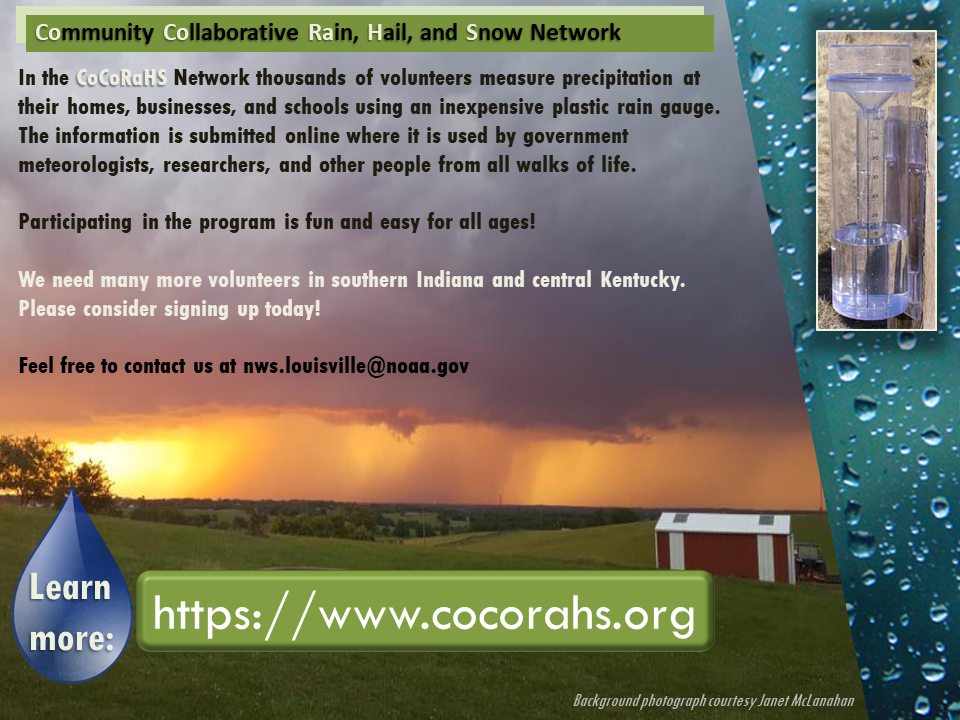
The Community Collaborative Rain, Hail, and Snow Network, or CoCoRaHS, is a collection of over 24,000 volunteers who measure and report rainfall amounts each day. Many folks also report snowfall, snow depth, and other weather phenomena.
Butler County is the only county in central Kentucky to have never had a CoCoRaHS volunteer.
If you live or work in Butler County, please consider joining CoCoRaHS today. All it takes is a simple plastic rain gauge and a few minutes in the morning to submit your rainfall amount via the CoCoRaHS app or website. Your rain (and snow) information are used to fill in our daily precipitation maps and are employed in climate research.
For more information, see https://www.cocorahs.org/Content.aspx?page=aboutus or feel free to send us an email.
Even if you're not in Butler County, please consider joining this worthy cause. We can always use more data, and there are several counties that currently have no participants in the program.
Current Hazards
Hazardous Weather Outlook
Storm Prediction Center
Submit a Storm Report
Advisory/Warning Criteria
Radar
Fort Knox
Evansville
Fort Campbell
Nashville
Jackson
Wilmington
Latest Forecasts
El Nino and La Nina
Climate Prediction
Central U.S. Weather Stories
1-Stop Winter Forecast
Aviation
IDSS Forecast Points
Air Quality
Fire Weather
Recreation Forecasts
1-Stop Drought
Event Ready
1-Stop Severe Forecast
Past Weather
Climate Graphs
1-Stop Climate
CoCoRaHS
Local Climate Pages
Tornado History
Past Derby/Oaks/Thunder Weather
Football Weather
Local Information
About the NWS
Forecast Discussion
Items of Interest
Spotter Training
Regional Weather Map
Decision Support Page
Text Products
Science and Technology
Outreach
LMK Warning Area
About Our Office
Station History
Hazardous Weather Outlook
Local Climate Page
Tornado Machine Plans
Weather Enterprise Resources
US Dept of Commerce
National Oceanic and Atmospheric Administration
National Weather Service
Louisville, KY
6201 Theiler Lane
Louisville, KY 40229-1476
502-969-8842
Comments? Questions? Please Contact Us.


 Weather Story
 Weather Map
 Local Radar