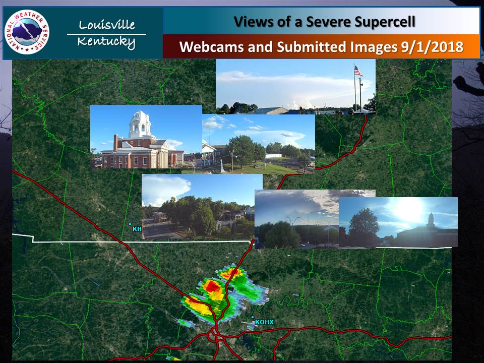
At National Weather Service Louisville, we monitor several ways of looking at the atmosphere, from our new GOES-16 Satellite, to Doppler Radar, to Automated Surface Observing Systems (ASOS), just to name a few. Another means is by watching area webcams, some privately owned and others government owned, such as the Louisville TriMarc cameras. On Saturday afternoon, a lone thunderstorm developed over north central Tennessee. This storm produced some tree damage northwest of the Nashville weather forecast office (labelled KOHX in image below). Given the relative clearing around it, local webcams got some good snapshots of this developing storm. The image below shows several area webcams, most courtesy of WBKO in Bowling Green, that caught a glimpse of this storm. The image near Leitchfield, KY is courtesy of Dustin Knight. Close up images for each site are given below the mapped image.
Russellville, KY, 5:40 PM CDT, WBKO Clicking on this image will bring up a loop of this storm developing. Note late in the loop a dark gray under cloud approaching the camera. This cloud is the remnant gust front, also known as an outflow boundary. The closer this front is to the storm usually means stronger gusty winds. As it gets farther away the winds die down.
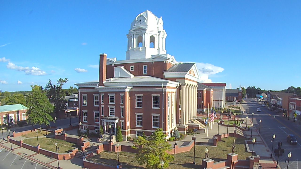
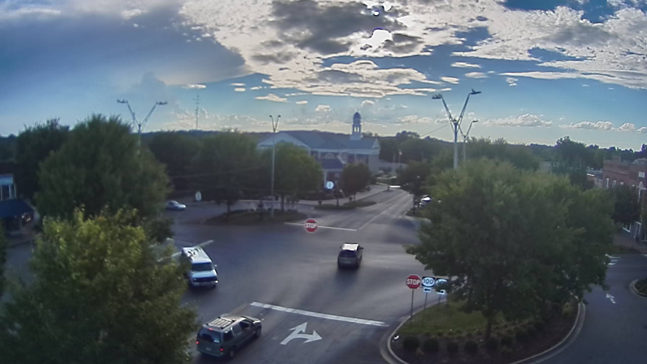
Greenville, KY, 5:40 PM CDT, courtesy of WBKO
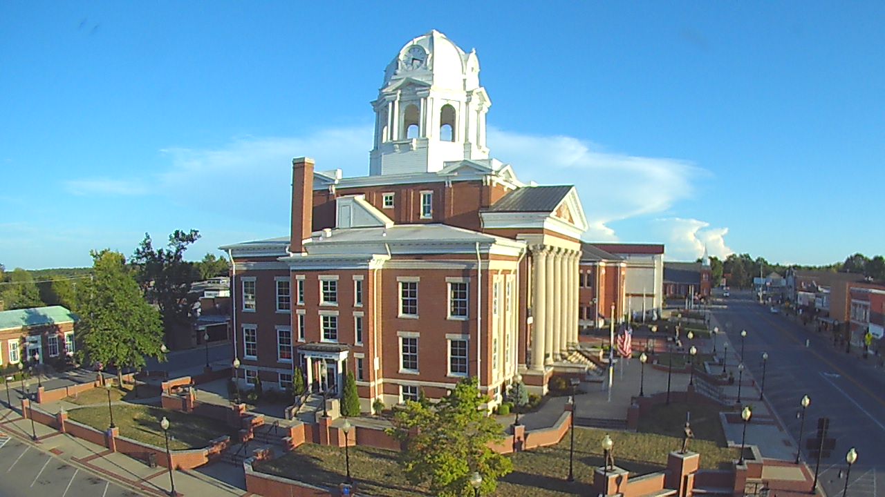
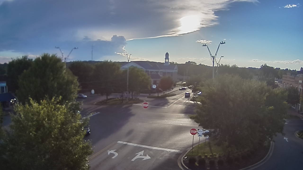
Greenville, KY, 6:21 PM CDT, showing two additional towers developing to the right (southwest) of the main tower.
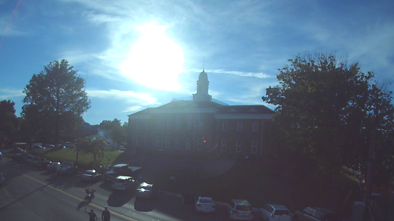
Morgantown, KY, 5:40 PM CDT, also courtesy of WBKO.
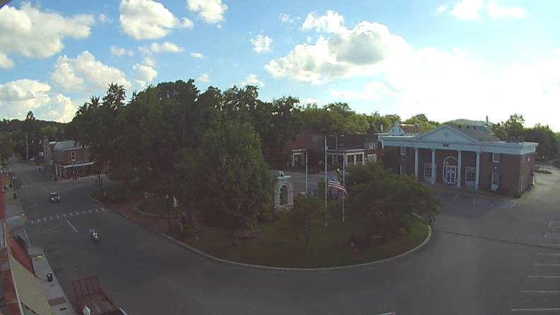
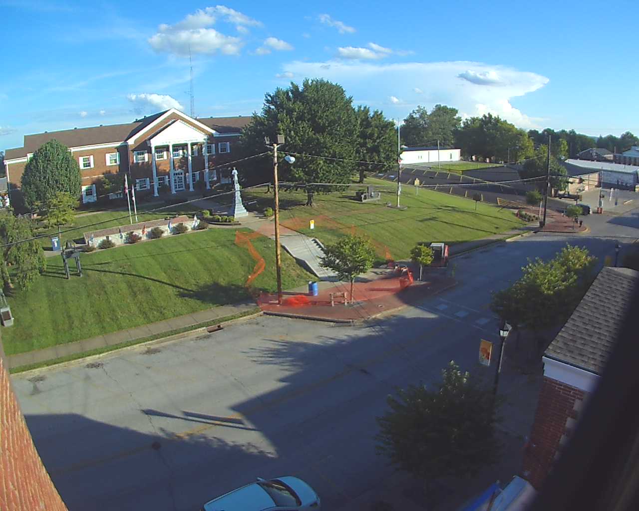
Scottsville, KY, 5:40 PM CDT, WBKO.
Later image at Scottsville, 6:05 PM CDT, showing the expanding high-level clouds, also known as an anvil top.
Tompkinsville, KY, 5:40 PM CDT, WBKO.
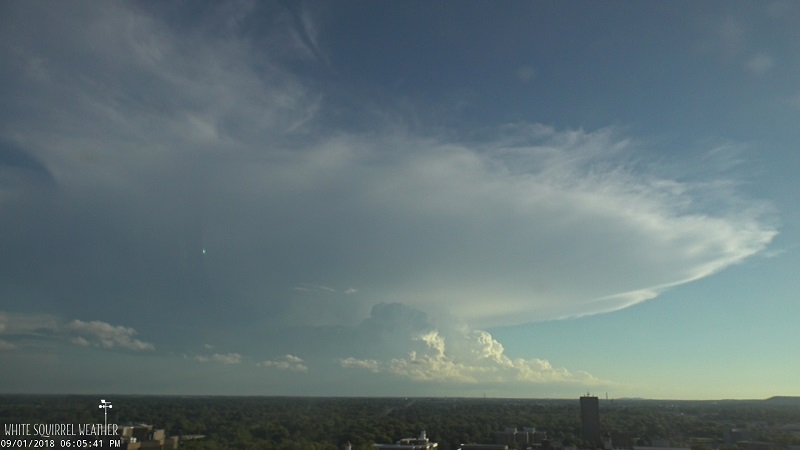
Western Kentucky University, Bowling Green, KY, 6:05 PM CDT, showing the expanding anvil as well as new cells developing underneath it. Courtesy of White Squirrel Weather.
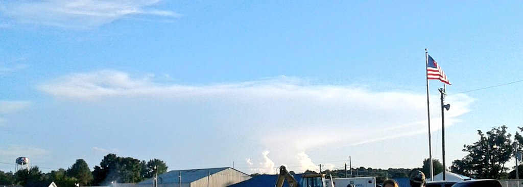
Leitchfield, KY, around 70 miles north of the storm! Courtesy of Dustin Knight.
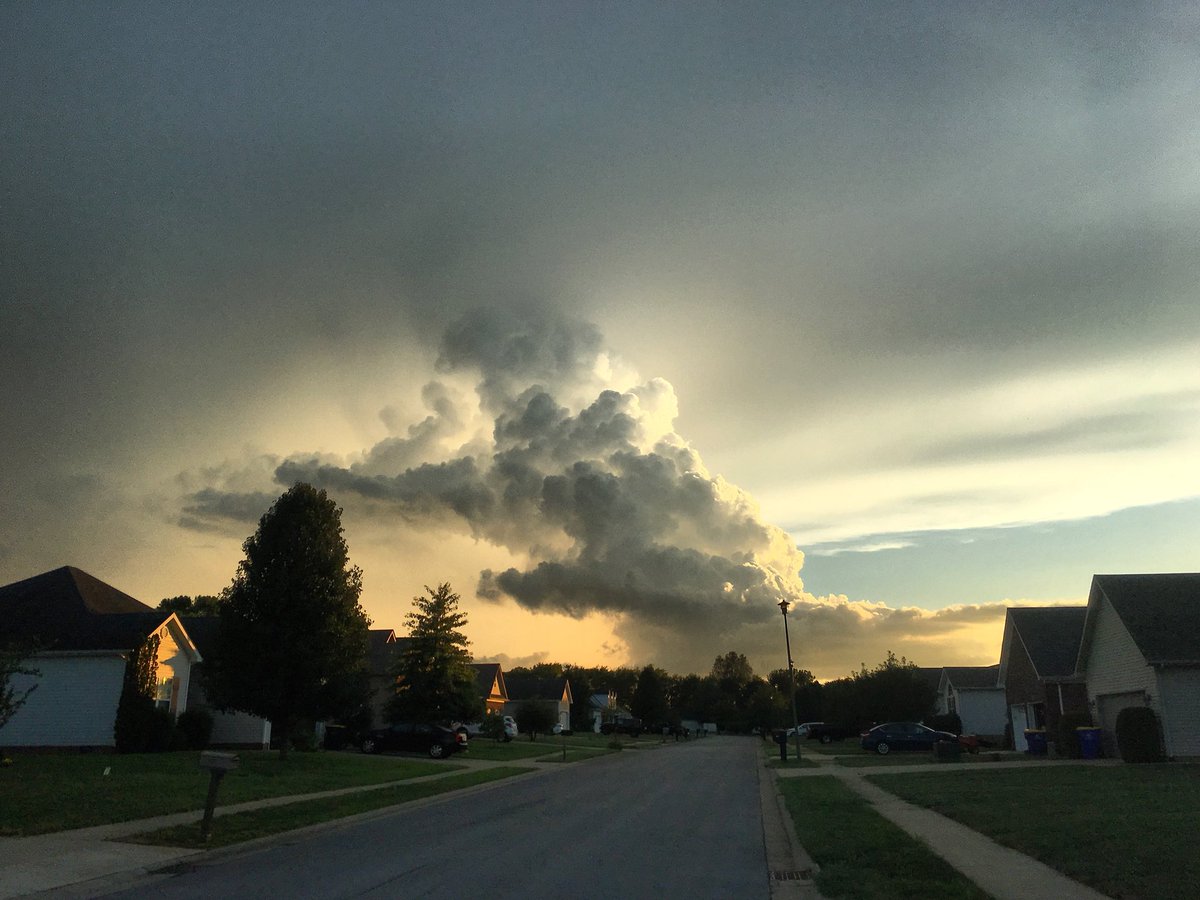
Later image from Bowling Green vicinity, ~6 PM CDT, showing the new cell developing under the anvil cloud, courtesy of Landon Hampton.
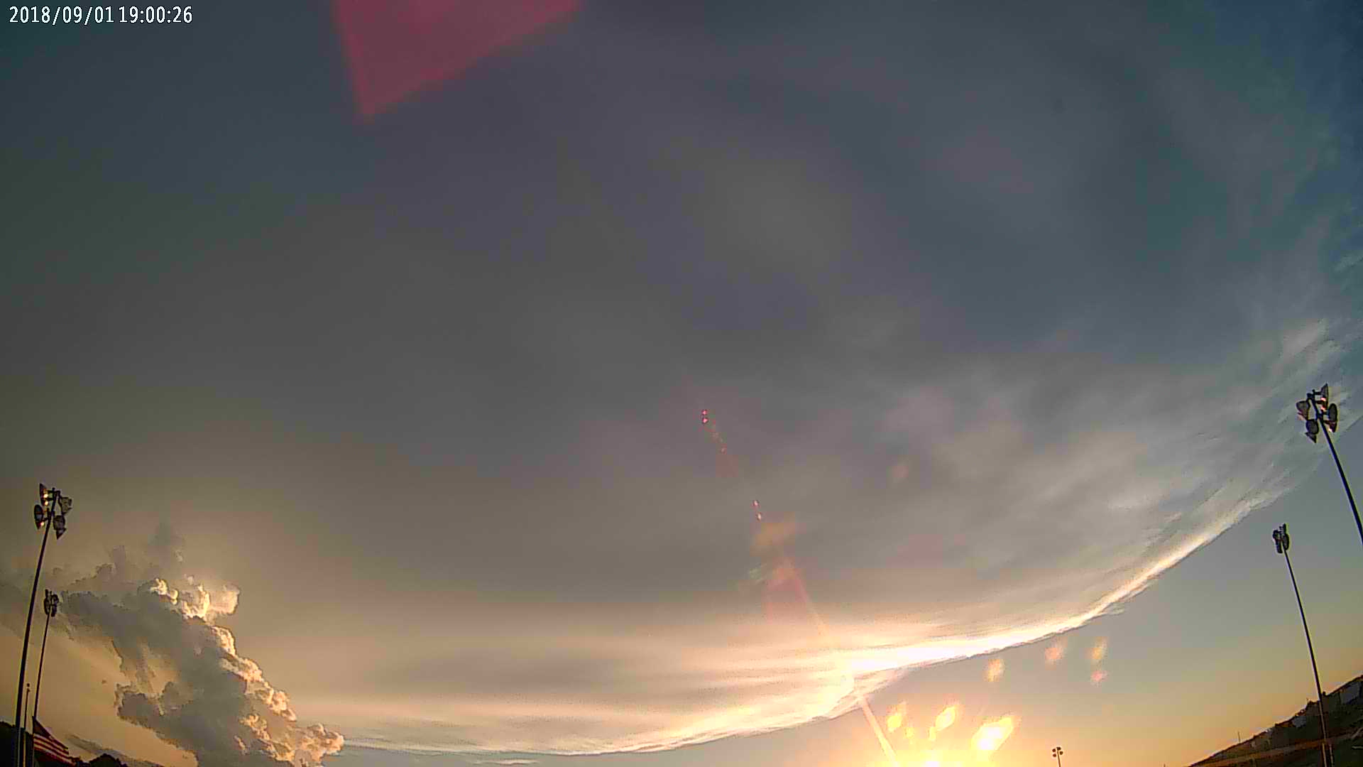
Similar-timed image to above, but taken from the WKU Intramural field. Photo again courtesy of White Squirrel Weather.


 Weather Story
 Weather Map
 Local Radar