Louisville, KY
Weather Forecast Office
Every year NWS Louisville does routine hydrology surveys to check river gauge equipment and USGS or flood reference marks at river gauges across central Kentucky and southern Indiana. Up until now, we've done these on foot documenting what we can see at ground level.
Pictured below is the river gauge at South Fork Licking River at Cynthiana, KY.
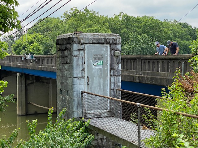
Last week, the first routine hydrology survey using drones gave a unique bird's eye view of the river gauge as well as the area along the river upstream and downstream of the gauge. This survey information at regular river levels is helpful in documenting what areas could be impacted along the river when flood waters rise. These "impacts" are inserted directly into NWS River Flood Warnings.
The video below shows the river gauge at South Fork Licking River at Cynthiana, KY as well as the area upstream and downstream of the gauge.
Current Hazards
Hazardous Weather Outlook
Storm Prediction Center
Submit a Storm Report
Advisory/Warning Criteria
Radar
Fort Knox
Evansville
Fort Campbell
Nashville
Jackson
Wilmington
Latest Forecasts
El Nino and La Nina
Climate Prediction
Central U.S. Weather Stories
1-Stop Winter Forecast
Aviation
IDSS Forecast Points
Air Quality
Fire Weather
Recreation Forecasts
1-Stop Drought
Event Ready
1-Stop Severe Forecast
Past Weather
Climate Graphs
1-Stop Climate
CoCoRaHS
Local Climate Pages
Tornado History
Past Derby/Oaks/Thunder Weather
Football Weather
Local Information
About the NWS
Forecast Discussion
Items of Interest
Spotter Training
Regional Weather Map
Decision Support Page
Text Products
Science and Technology
Outreach
LMK Warning Area
About Our Office
Station History
Hazardous Weather Outlook
Local Climate Page
Tornado Machine Plans
Weather Enterprise Resources
US Dept of Commerce
National Oceanic and Atmospheric Administration
National Weather Service
Louisville, KY
6201 Theiler Lane
Louisville, KY 40229-1476
502-969-8842
Comments? Questions? Please Contact Us.


 Weather Story
 Weather Map
 Local Radar