Louisville, KY
Weather Forecast Office
Last week, NWS Louisville held an operations meeting to prepare our staff for the upcoming winter season. WLKY Louisville's chief meteorologist Jay Cardosi sat in this time to give his station's perspective on how they work winter weather and how they interact with our station. All aspects of the weather enterprise...broadcast meteorologists, NWS forecasters, academics, private meteorologists...have to work together as a team to make sure messaging about impending hazardous weather gets to the final decision makers, be it private citizens to those planning events. We enjoy a great partnership with our TV meteorologists in Louisville, Lexington, and Bowling Green.
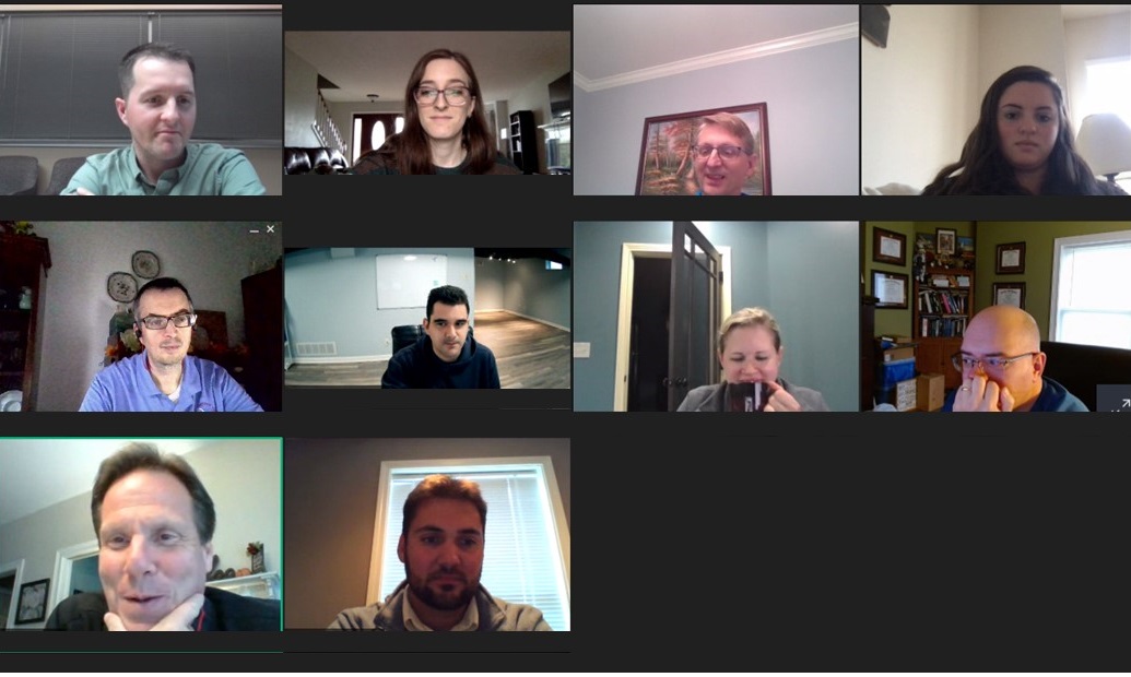
Virtual panel for our Winter Operations Meeting...including WLKY chief meteorologist Jay Cardosi in the bottom left.
Topics discussed at this meeting included:
* How we plan to message impending hazardous weather on the long-range level (i.e., Days 5-7), mid-range (Days 3-5), short-range, as the event is unfolding, and after the event.
* New tools coming to help us diagnose winter potential
* Proper ways to take snow measurements and plans for our collaboration with the official observers at Louisville, Lexington, and Bowling Green
* A study to document fog on the Clays Ferry Bridge
* Strategy for dealing with the relatively new flood forecast point on the Cumberland River in Burkesville, KY
Current Hazards
Hazardous Weather Outlook
Storm Prediction Center
Submit a Storm Report
Advisory/Warning Criteria
Radar
Fort Knox
Evansville
Fort Campbell
Nashville
Jackson
Wilmington
Latest Forecasts
El Nino and La Nina
Climate Prediction
Central U.S. Weather Stories
1-Stop Winter Forecast
Aviation
IDSS Forecast Points
Air Quality
Fire Weather
Recreation Forecasts
1-Stop Drought
Event Ready
1-Stop Severe Forecast
Past Weather
Climate Graphs
1-Stop Climate
CoCoRaHS
Local Climate Pages
Tornado History
Past Derby/Oaks/Thunder Weather
Football Weather
Local Information
About the NWS
Forecast Discussion
Items of Interest
Spotter Training
Regional Weather Map
Decision Support Page
Text Products
Science and Technology
Outreach
LMK Warning Area
About Our Office
Station History
Hazardous Weather Outlook
Local Climate Page
Tornado Machine Plans
Weather Enterprise Resources
US Dept of Commerce
National Oceanic and Atmospheric Administration
National Weather Service
Louisville, KY
6201 Theiler Lane
Louisville, KY 40229-1476
502-969-8842
Comments? Questions? Please Contact Us.


 Weather Story
 Weather Map
 Local Radar