Central Illinois
Weather Forecast Office
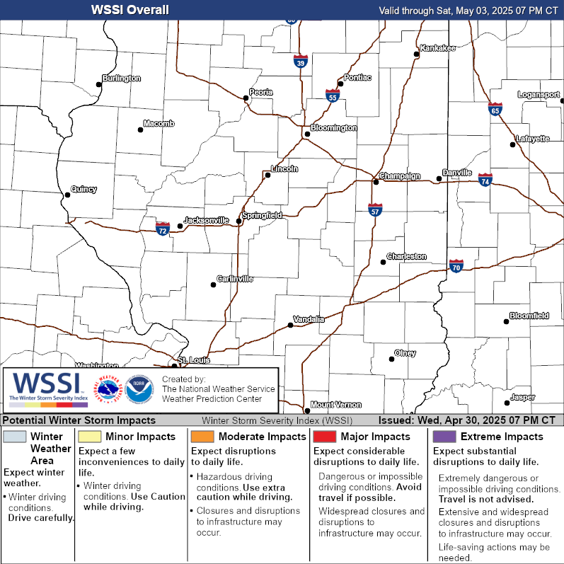 |
The Winter Storm Severity Index (WSSI) is a new tool from the National Weather Service, that forecasts potential impacts of winter storms. It analyzes impacts from snow amounts, the weight of the snow on structures, ice accumulation, blowing snow, flash freezes, and potential ground blizzards. Learn more about the WSSI in this brief fact sheet.
|
An interactive map is available at the NWS Weather Prediction Center's webpage at https://www.wpc.ncep.noaa.gov/wwd/wssi/wssi.php?id=ILX
US Dept of Commerce
National Oceanic and Atmospheric Administration
National Weather Service
Central Illinois
1362 State Route 10
Lincoln, IL 62656
217-732-7321 (forecast recording) or 217-732-3089
Comments? Questions? Please Contact Us.

