
Catastrophic Super Typhoon Bavi's eyewall has reached Rota and is expected to bring dangerous winds, heavy rainfall and storm surge to Guam, Rota, Tinian and Saipan. A Typhoon Warning remains in effect. Heavy to excessive rainfall will continue to bring a flooding threat from coastal Mid-Atlantic to southern New England through Monday. Read More >
Central Illinois
Weather Forecast Office
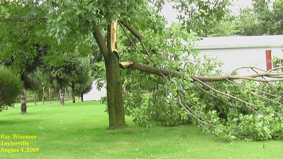
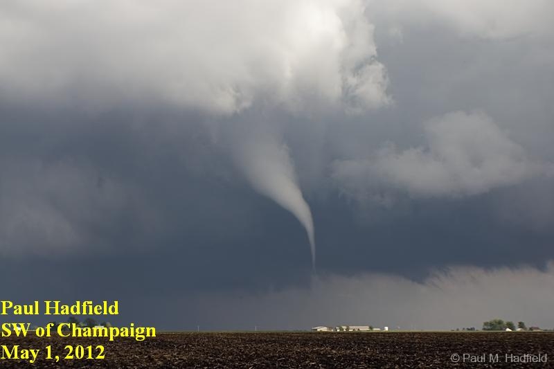
Severe Weather
 |
 |
 |
| Hail Size Chart | Wind Estimation Chart | Severe Weather Topics |
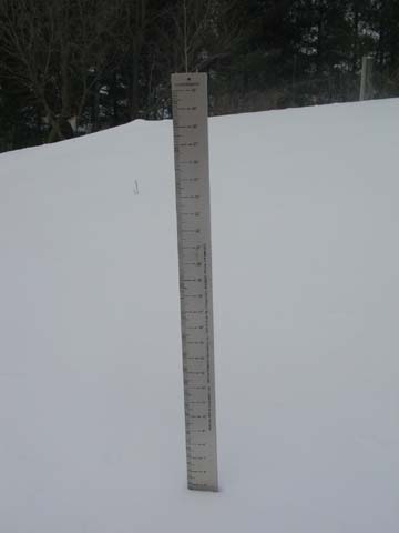
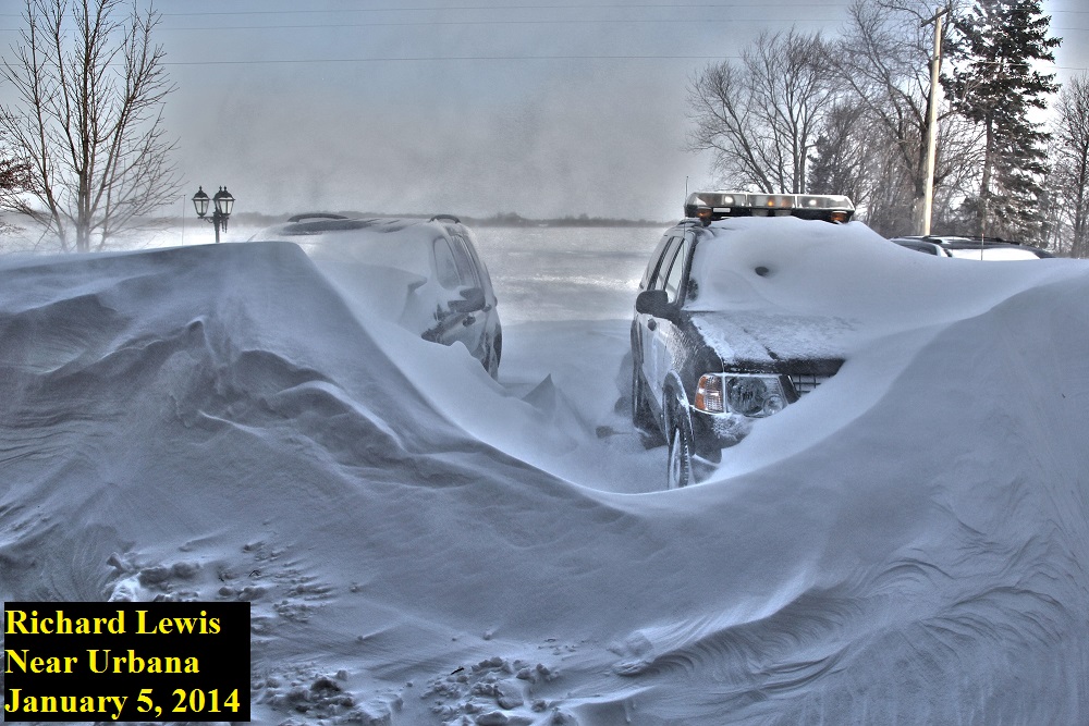
Winter Weather
 |
 |
| Snowfall Measurement Tips | Winter Weather Topics |
Multimedia
.jpg) |
 |
| YouTube Training Videos | Presentation Slides |
 |
| Rainfall Measurement Tips |
US Dept of Commerce
National Oceanic and Atmospheric Administration
National Weather Service
Central Illinois
1362 State Route 10
Lincoln, IL 62656
217-732-7321 (forecast recording) or 217-732-3089
Comments? Questions? Please Contact Us.

