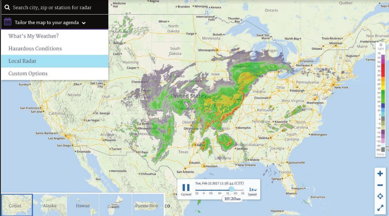
Some users of NWS radar displays have begun receiving messages about the use of Adobe Flash in the display. Flash is scheduled to be discontinued toward the end of 2020, so web browsers have begun to alert users of this upcoming event. We have recently been receiving an increasing number of inquiries regarding this change.
The NWS's radar.weather.gov website has been the face of NWS radar data since 2003. When it was developed, the site illustrated what NWS could show using emerging technologies. It was a reliable site for viewing radar and warning data on the web, and it pushed the bounds of how NWS could provide data to customers in flexible GIS formats that they could integrate into their own data mashups. Even now, the site routinely receives around 1.75 million hits on an average day, and hundreds of millions of hits per day during active weather.
The face of technology has changed dramatically throughout the last decade. By 2018 more than 81% of Americans 13 years and over owned a smartphone. These devices have changed how and where we browse the internet. By 2018, mobile devices generated more than half of all website traffic worldwide.
 The radar website is not mobile-friendly in its current form, and some of the displays use Flash.
In April/May 2020, in response to these dramatic changes, NWS will replace the existing site and features with the following:
An example of the planned display is shown at right. (This is still subject to change, before the new website debuts.)
In the meantime, we do (and have always had) a non Flash based version of the radar displays. This can be accessed from the regular radar page, by clicking on the "Go to: Standard Version" link near the top left part of the screen. Or, you can use the following link:
https://radar.weather.gov/radar_lite.php?rid=ilx&product=N0R&loop=yes