National Weather Service United States Department of Commerce

Regional Outbreaks of Severe Weather Through Early Next Week; Early Season Heat Wave across the South

Active spring pattern across the center of our nation with several episodes of severe weather and heavy rainfall expected into next week. The potential for very large hail, long track tornadoes, severe wind gusts, frequent cloud to ground lightning strikes and flash flooding are in the outlook. Furthermore, dangerous early season heat wave continues for the Gulf Coast states into early next week. Read More >

The week of March 4 - 10, 2018 is

Severe Weather Preparedness Week in Illinois


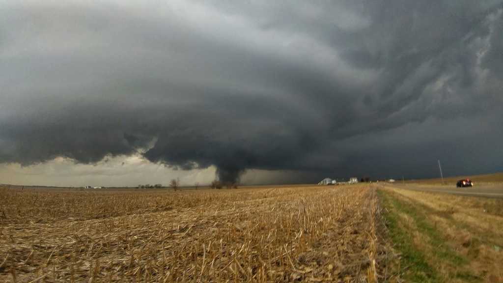
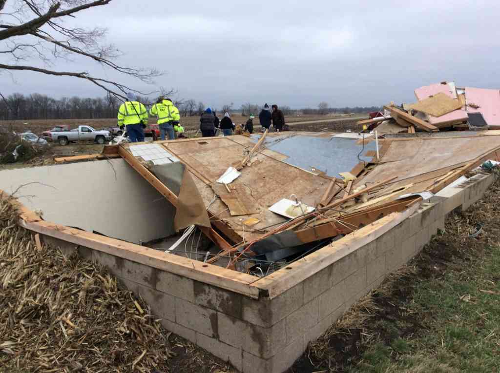
Don't wait until severe thunderstorms, tornadoes & Flooding are occurring to think about what you should do to stay safe!!!


          Photo by Paul Sieczka, near Washburn, IL 2/28/17             NWS Photo: Tornado damage near Washburn, IL


All throughout Severe Weather Preparedness Week we will be sharing tips with you on our web page and social media about what you can do to prepare IN ADVANCE for the peak of our Severe Thunderstorm, Tornado and Flooding season. 


Highlights of Severe Weather Preparedness Week include:

  • Daily Severe Weather Preparedness and Safety Messages

  • The Annual Statewide Tornado Drill on Tuesday March 6th at 10:00 am

    • This drill will be initiated by an actual Tornado Warning - with "TEST" wording throughout the message - which will be issued for every county in the state of Illinois. The message will be broadcast on NOAA Weather Alert Radios and many broadcast media outlets. Many communities will also test the Outdoor Warning Sirens at this time.

For more information regarding Severe Weather Preparedness, please visit our web page at: https://www.weather.gov/ilx/severe-prep