Extremely critical fire weather concerns for portions of the southern High Plans as strong wind and very dry conditions could result in rapid spread of any fires. Meanwhile, severe thunderstorms are expected once again across areas of the Central and Southern Plains, then spreading in the Mississippi Valley regions on Monday. Damaging winds, very large hail and strong tornadoes are possible. Read More >
| 72 Hour Snow
Amount Potential
Experimental - Leave feedback
|
|
| Expected 72 Hour Snowfall - Official NWS Forecast
What's this? |
High End 72 Hour
Amount 1 in 10 Chance (10%) of Higher Snowfall What's this? |
| Low End
72 Hour Amount 9 in 10 Chance (90%) of Higher Snowfall What's this? |
|
| Percent Chance That 72 Hour
Snow Amounts in Will Be Greater Than...
Experimental - Leave feedback
What's
this?
|
||||||||||||||||
|
||||||||||||||||
| 72 Hour Snowfall Totals by
Location
Experimental - Leave feedback
What's
this?
|
|
|
| Snow Amount Potential
Experimental - Leave feedback
|
|
| Expected 72 Hour Snowfall - Official NWS Forecast
What's this? |
High End 72 Hour
Amount 1 in 10 Chance (10%) of Higher Snowfall What's this? |
| Low End
72 Hour Amount 9 in 10 Chance (90%) of Higher Snowfall What's this? |
|
| Percent Chance That 72 Hour Snow Amounts Will Be Greater
Than...
Experimental - Leave feedback
What's
this?
|
||||||||||||||||
|
||||||||||||||||
| 72 Hour Ice
Accumulation Potential
Experimental - Leave feedback
|
|
| Expected 72 Hour Ice Accumulation - Official NWS Forecast
What's this? This is the elevated flat surface ice accumulation. It is not radial/line ice. Radial/line ice is typically 39% of the elevated flat surface ice. For more information on this, see this module. |
High End 72 Hour
Amount 1 in 10 Chance (10%) of Higher Ice Accumulation What's this? |
| Low End
72 Hour Amount 9 in 10 Chance (90%) of Higher Ice Accumulation What's this? |
|
| Percent Chance That 72 Hour
Ice Accumulation Will Be Greater Than...
Experimental - Leave feedback
What's
this?
|
||||||||||||||||
|
||||||||||||||||
| 72 Hour Ice Accumulation by
Location
Experimental - Leave feedback
What's
this?
|
|
|
| 72 Hour Ice Accumulation Potential
Experimental - Leave feedback
|
|
| Expected 72 Hour Ice Accumulation - Official NWS Forecast
What's this? This is the elevated flat surface ice accumulation. It is not radial/line ice. Radial/line ice is typically 39% of the elevated flat surface ice. For more information on this, see this module. |
High End 72 Hour
Amount 1 in 10 Chance (10%) of Higher Ice Accumulation What's this? |
| Low End
72 Hour Amount 9 in 10 Chance (90%) of Higher Ice Accumulation What's this? |
|
| Percent Chance That 72 Hour Ice Accumulations Will Be
Greater Than...
Experimental - Leave feedback
What's
this?
|
||||||||||||||||
|
||||||||||||||||
| Selected City Charts | |
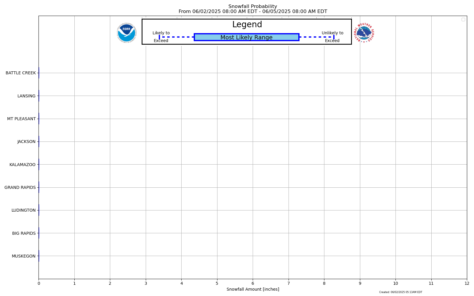
Expected
Snowfall - Box and Whisker Plot
|
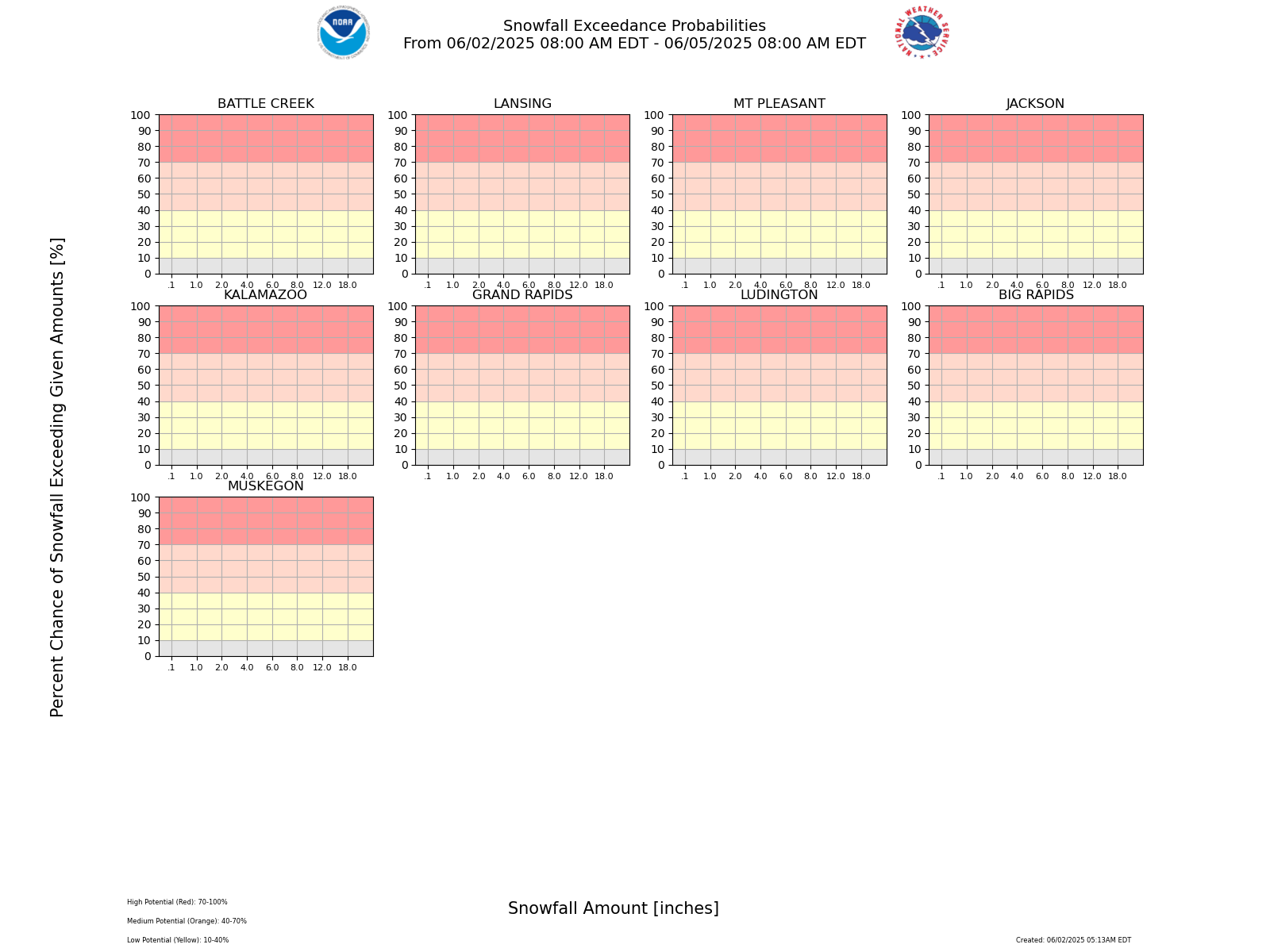
Expected
Snowfall - Exceedance Bar Plot
|