Gusty winds and dry conditions will continue to bring elevated to critical fire weather conditions to the southern Plains and Southeast early this week. A Pacific storm system will bring low elevation rain and heavy high elevation mountain snow to northern and central California through early week, expanding into the Pacific Northwest, Great Basin, and southern California on Tuesday. Read More >
Grand Junction, CO
Weather Forecast Office
Mountain Rain or Snow - Precipitation Phase Citizen Science Project

Normally, we think of rain falling at air temperatures above 32°F – but in the world of weather forecasting and hydrologic prediction, that isn’t always the case. In some mountainous regions, the shift from snow to rain during winter storms may actually occur at warmer temperatures approaching 39.5°F. Scientists use temperature thresholds to determine where and when a storm will transition from rain to snow, but if that threshold is off, it can affect our predictions of flooding, snow accumulation, and avalanche hazard.
Mountain Rain or Snow is a NASA-funded project that engages citizen scientists in app-based precipitation phase reporting to help improve our understanding of the rain-snow transition temperature in mountain regions.
We here at NWS Grand Junction are reaching out on behalf of the Mountain Rain or Snow team to invite you to join the community of observers who are working to improve estimates of snow accumulation and rainfall.
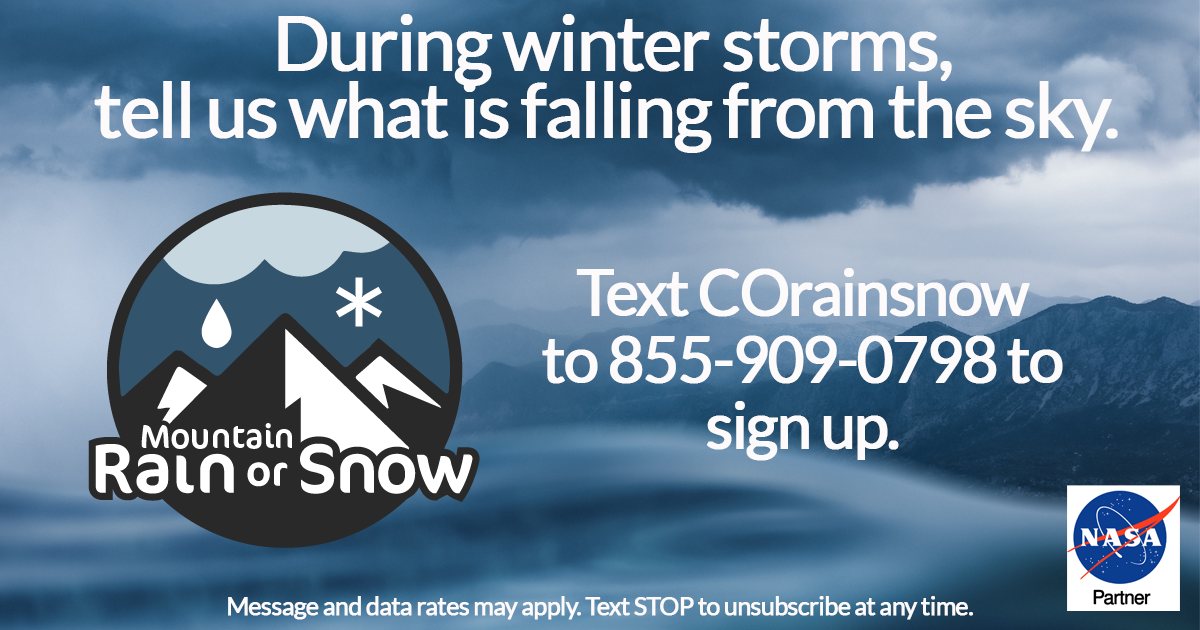
Participating is simple: text COrainsnow to 855-909-0798 to access the web app and learn a few tips. Then, during winter storms, keep your eyes on the sky and send observations whether it is raining, snowing, or a wintry mix.
With your observations, scientists at Lynker, the Desert Research Institute, and the University of Nevada, Reno are working to better estimate how much water falls during winter. This is difficult with current technology, especially in the mountains, so we need observations from all over the region. If you want to learn more about the project, visit https://rainorsnow.org/about
When you sign up, you’ll receive 3 intro texts over the first 3 days, including the first one prompting you to download the free Mountain Rain or Snow web app. Afterwards, we’ll only send you alerts when there is a winter storm in the region.
Hazards
Detailed Hazards Viewer
National Briefing
Outlooks
Transportation Decision Support
Winter Storm Severity Index
Forecasts
Aviation Weather
Fire Weather
Forecast Discussion
Forecast Points
Local Area
Severe Weather
Soaring Forecast
Winter Weather
Hydrology
Recreational River Report
River Forecast
Weather Safety
Preparedness
NOAA Weather Radio
StormReady
SkyWarn
US Dept of Commerce
National Oceanic and Atmospheric Administration
National Weather Service
Grand Junction, CO
2844 Aviators Way
Grand Junction, CO 81506-8644
970-243-7007
Comments? Questions? Please Contact Us.

