
Tropical Depression Two is expected to gradually strengthen and could bring tropical storm conditions to the Florida Panhandle beginning late Monday. Areas of flash flooding will be possible through Thursday along the eastern and central Gulf Coast. Severe thunderstorms will develop and move along a cold front crossing the Upper Midwest Monday, and through the Ohio Valley/Mid-Atlantic on Tuesday. Read More >
Grand Junction, CO
Weather Forecast Office
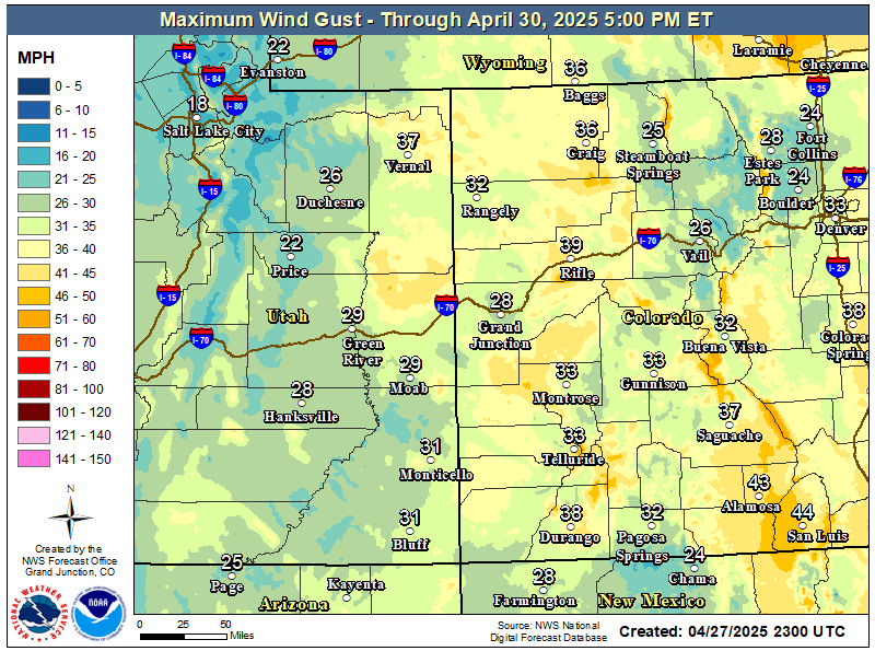
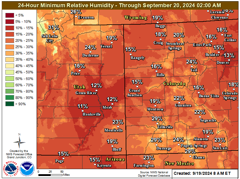
Winds will increase late this morning into the afternoon as a stronger jet stream moves in on the southern edge of a upper level trough moving across the northern Rockies states. Expect strongest winds to occur over northwest Colorado and areas along I-70 in west-central Colorado where winds will gust to 45 mph or greater at times. A wind advisory is in effect for those areas as shown in the map below from 11 am MDT through 9 pm MDT today. Generally winds will be gusting 30 to 40 mph elsewhere. Much drier conditions are expected across east-central Utah and portions of west-central Colorado including Paradox Valley where critical fire weather conditions will be met. Therefore, a Red Flag Warning is in effect for those areas. Breezy conditions will continue into Tuesday but will be less windy than Monday.
Non-Precipitation Warnings / Watches / Advisories Issued: 07/27/2026 08:49:00 AM UTC
Wind Advisory in effect from 11 am MDT through 9 pm MDT today (tan/brown areas)
Red Flag Warning in effect from 11 am MDT through 9 pm MDT today (pink/reddish areas)
(click image for the latest hazards and details)

Forecast Weather Chart for Today
Highest Wind Gusts Today
Minimum Relative Humidity Today
Today's Forecast High Temperatures

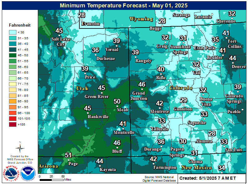
Tonight's Forecast Low Temperatures
Hazards
Detailed Hazards Viewer
National Briefing
Outlooks
Transportation Decision Support
Winter Storm Severity Index
Forecasts
Aviation Weather
Fire Weather
Forecast Discussion
Forecast Points
Local Area
Severe Weather
Soaring Forecast
Winter Weather
Hydrology
Recreational River Report
River Forecast
Weather Safety
Preparedness
NOAA Weather Radio
StormReady
SkyWarn
US Dept of Commerce
National Oceanic and Atmospheric Administration
National Weather Service
Grand Junction, CO
2844 Aviators Way
Grand Junction, CO 81506-8644
970-243-7007
Comments? Questions? Please Contact Us.

