
Gusty winds and dry conditions will continue to bring elevated to critical fire weather conditions to the southern Plains and Southeast early this week. A Pacific storm system will bring low elevation rain and heavy high elevation mountain snow to northern and central California through early week, expanding into the Pacific Northwest, Great Basin, and southern California on Tuesday. Read More >
Grand Junction, CO
Weather Forecast Office
Red Flag Warning in Effect Sunday June 24
from 11 AM until 8 PM MDT for Far Southwest Colorado
Critical Fire Weather conditions are likely again on Sunday across far southwest Colorado including the Cortez and Durango areas. The rest of the area will see higher relative humidity due to a passing disturbance and cold front. Any new fire starts could have the potential to grow rapidly and become very difficult, or nearly impossible to control.
RED FLAG WARNING IN EFFECT SUNDAY
(click image for detailed view of latest hazards: some elevation specific)

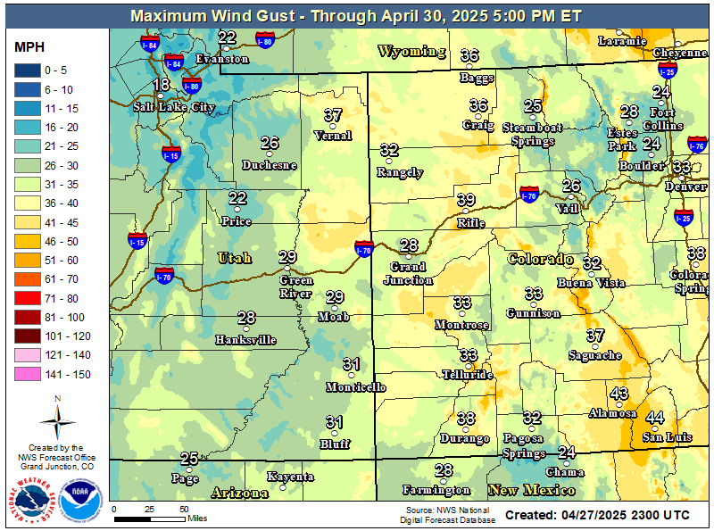
Maximum Wind Gusts Expected Through Monday
High Temperatures Expected Sunday

Hazards
Detailed Hazards Viewer
National Briefing
Outlooks
Transportation Decision Support
Winter Storm Severity Index
Forecasts
Aviation Weather
Fire Weather
Forecast Discussion
Forecast Points
Local Area
Severe Weather
Soaring Forecast
Winter Weather
Hydrology
Recreational River Report
River Forecast
Weather Safety
Preparedness
NOAA Weather Radio
StormReady
SkyWarn
US Dept of Commerce
National Oceanic and Atmospheric Administration
National Weather Service
Grand Junction, CO
2844 Aviators Way
Grand Junction, CO 81506-8644
970-243-7007
Comments? Questions? Please Contact Us.

